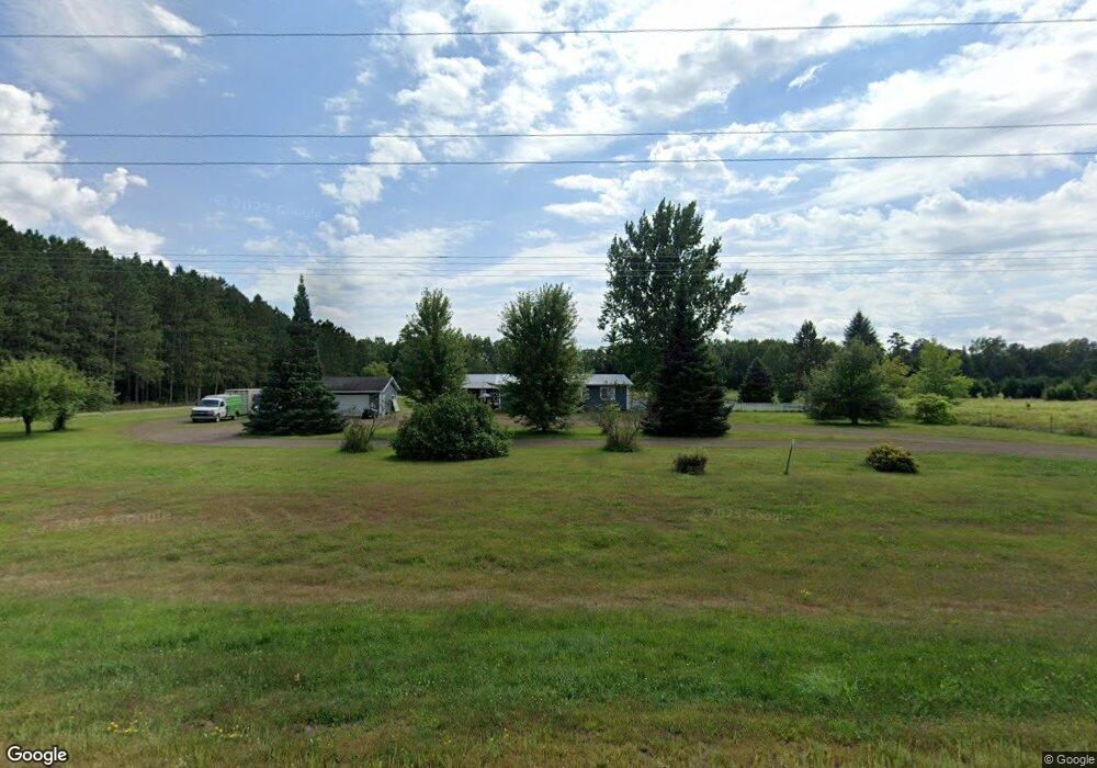
20221 State Highway 18 Brainerd, MN 56401
Estimated Value: $316,000 - $374,000
4
Beds
2
Baths
2,340
Sq Ft
$149/Sq Ft
Est. Value
About This Home
This home is located at 20221 State Highway 18, Brainerd, MN 56401 and is currently estimated at $348,021, approximately $148 per square foot. 20221 State Highway 18 is a home located in Crow Wing County with nearby schools including Garfield Elementary School, Forestview Middle School, and Brainerd Senior High School.
Ownership History
Date
Name
Owned For
Owner Type
Purchase Details
Closed on
Jan 24, 2020
Sold by
Phillips Roger Roger
Bought by
Ladouceur Casey Casey
Current Estimated Value
Home Financials for this Owner
Home Financials are based on the most recent Mortgage that was taken out on this home.
Original Mortgage
$230,000
Outstanding Balance
$203,214
Interest Rate
3.6%
Estimated Equity
$144,807
Purchase Details
Closed on
Nov 10, 2016
Bought by
Phillips Roger
Purchase Details
Closed on
Apr 1, 2009
Sold by
Wollner Joseph W and Wollner Tracy N
Bought by
Windorski Pamela K and Windorski Neil L
Purchase Details
Closed on
Sep 1, 2007
Sold by
Dean Frederick M and Dean Joellyn L
Bought by
Wollner Joseph W and Wollner Tracy N
Purchase Details
Closed on
Apr 1, 2005
Sold by
Vanrisseghem Nathan J and Vanrisseghem Jayme
Bought by
Wollner Joseph
Create a Home Valuation Report for This Property
The Home Valuation Report is an in-depth analysis detailing your home's value as well as a comparison with similar homes in the area
Home Values in the Area
Average Home Value in this Area
Purchase History
| Date | Buyer | Sale Price | Title Company |
|---|---|---|---|
| Ladouceur Casey Casey | $230,000 | -- | |
| Phillips Roger | $78,500 | -- | |
| Windorski Pamela K | $155,000 | -- | |
| Wollner Joseph W | $146,000 | -- | |
| Wollner Joseph | $131,500 | -- |
Source: Public Records
Mortgage History
| Date | Status | Borrower | Loan Amount |
|---|---|---|---|
| Open | Ladouceur Casey Casey | $230,000 |
Source: Public Records
Tax History Compared to Growth
Tax History
| Year | Tax Paid | Tax Assessment Tax Assessment Total Assessment is a certain percentage of the fair market value that is determined by local assessors to be the total taxable value of land and additions on the property. | Land | Improvement |
|---|---|---|---|---|
| 2025 | $1,742 | $288,800 | $116,500 | $172,300 |
| 2024 | $1,742 | $261,600 | $107,700 | $153,900 |
| 2023 | $1,810 | $242,600 | $81,300 | $161,300 |
| 2022 | $1,934 | $237,400 | $76,500 | $160,900 |
| 2021 | $1,636 | $198,600 | $63,500 | $135,100 |
| 2020 | $1,480 | $162,600 | $56,300 | $106,300 |
| 2019 | $1,456 | $152,500 | $51,400 | $101,100 |
| 2018 | $1,218 | $153,500 | $53,100 | $100,400 |
| 2017 | $1,120 | $141,300 | $56,500 | $84,800 |
| 2016 | $1,104 | $106,500 | $41,600 | $64,900 |
| 2015 | $1,154 | $109,000 | $41,800 | $67,200 |
| 2014 | $554 | $110,000 | $41,900 | $68,100 |
Source: Public Records
Map
Nearby Homes
- TBD Mill Rd
- 22251 State Highway 18
- TBD Nokay Hall Rd
- 16056 Eagle Lake Ln
- 10799 Black Bear Rd
- 10657 Black Bear Rd
- 16470 State Highway 18
- TBD Rognaldson Rd
- 16460 Park Estates Dr
- 24504 Minnesota 18
- 17377 Paradise Shores Rd
- 17364 Paradise Shores Rd
- 17328 Paradise Shores Rd
- 24504 Mn-18
- 9189 County Road 8
- 23001 Clearwater Point Rd NE
- 16515 Woodrow Rd
- 14364 Hummingbird Trail
- 24555 Emstad Rd
- 14777 Katrine Dr
- 20271 State Highway 18
- 20107 State Highway 18
- 20323 State Highway 18
- 20180 State Highway 18
- 20465 State Highway 18
- 20135 Division Rd
- 20233 Division Rd
- 20265 State Highway 18
- 13128 Pine Hurst Rd
- 20396 Division Rd
- 20762 State Highway 18
- 19985 Division Rd
- 20665 State Highway 18
- 20539 Division Rd
- 20539 Division Rd
- 20539 Division Rd
- 20669 State Highway 18
- 19921 Division Rd
- 20014 Division Rd
- 13221 Pine Hurst Rd