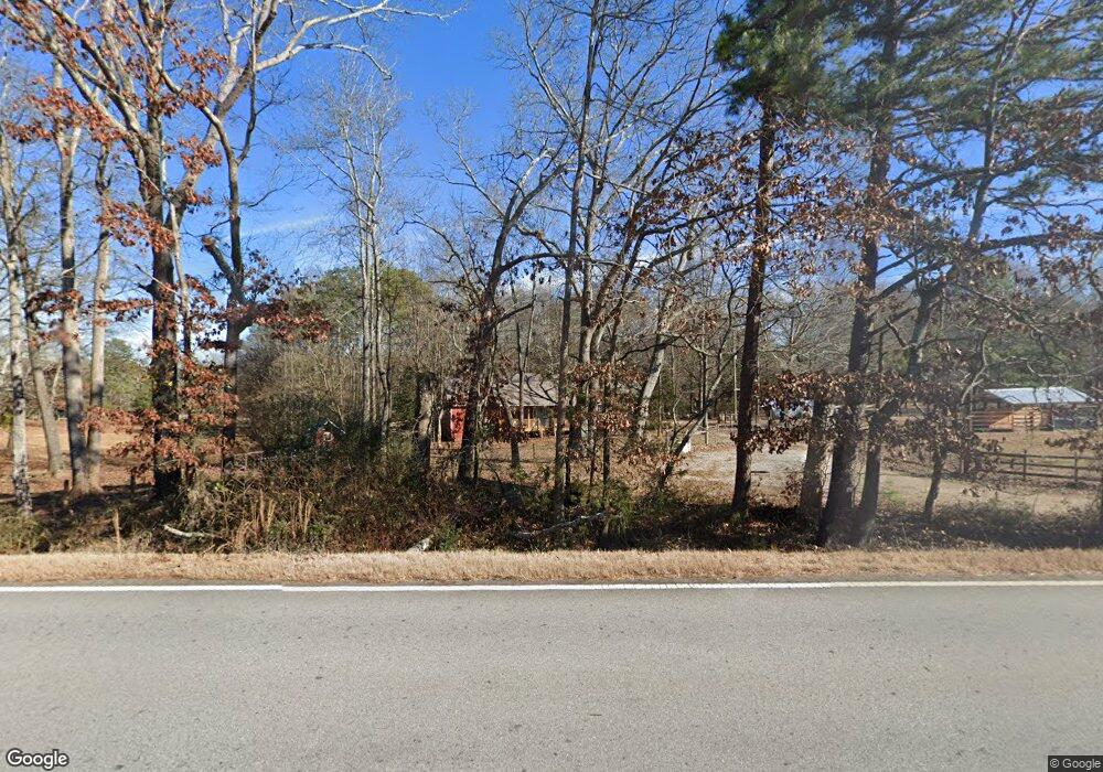
2029 Highway 82 Statham, GA 30666
Estimated Value: $327,000 - $406,704
3
Beds
2
Baths
1,288
Sq Ft
$278/Sq Ft
Est. Value
About This Home
This home is located at 2029 Highway 82, Statham, GA 30666 and is currently estimated at $358,426, approximately $278 per square foot. 2029 Highway 82 is a home located in Barrow County with nearby schools including Statham Elementary School, Bear Creek Middle School, and Winder-Barrow High School.
Ownership History
Date
Name
Owned For
Owner Type
Purchase Details
Closed on
Aug 20, 2014
Sold by
Tate Tracy S
Bought by
Watts James M and Watts Amy W
Current Estimated Value
Home Financials for this Owner
Home Financials are based on the most recent Mortgage that was taken out on this home.
Original Mortgage
$180,000
Outstanding Balance
$137,710
Interest Rate
4.2%
Mortgage Type
New Conventional
Estimated Equity
$220,716
Create a Home Valuation Report for This Property
The Home Valuation Report is an in-depth analysis detailing your home's value as well as a comparison with similar homes in the area
Home Values in the Area
Average Home Value in this Area
Purchase History
| Date | Buyer | Sale Price | Title Company |
|---|---|---|---|
| Watts James M | $225,000 | -- |
Source: Public Records
Mortgage History
| Date | Status | Borrower | Loan Amount |
|---|---|---|---|
| Open | Watts James M | $180,000 |
Source: Public Records
Tax History Compared to Growth
Tax History
| Year | Tax Paid | Tax Assessment Tax Assessment Total Assessment is a certain percentage of the fair market value that is determined by local assessors to be the total taxable value of land and additions on the property. | Land | Improvement |
|---|---|---|---|---|
| 2024 | $1,925 | $122,608 | $62,368 | $60,240 |
| 2023 | $2,998 | $122,608 | $62,368 | $60,240 |
| 2022 | $2,871 | $100,879 | $62,368 | $38,511 |
| 2021 | $206 | $46,818 | $43,904 | $2,914 |
| 2020 | $204 | $37,711 | $34,797 | $2,914 |
| 2019 | $205 | $37,711 | $34,797 | $2,914 |
| 2018 | $190 | $37,711 | $34,797 | $2,914 |
| 2017 | $1,098 | $37,711 | $34,797 | $2,914 |
| 2016 | $179 | $26,112 | $23,198 | $2,914 |
| 2015 | $177 | $26,112 | $23,198 | $2,914 |
| 2014 | $181 | $14,281 | $11,367 | $2,914 |
| 2013 | -- | $14,281 | $11,366 | $2,914 |
Source: Public Records
Map
Nearby Homes
- 18 Richmond Dr
- 1914 Hearthstone Ct
- 1642 White Oak Dr
- 1415 Red Oak Way
- 3845 S Highway 82
- 1295 Double Bridges Rd
- 122 Kinsley Way
- 0 Old Hunter Rd Unit TRACT 5
- 0 Jefferson Rd Unit 10589312
- 0 Jefferson Rd Unit 10609692
- 00 Jefferson Rd
- 1593 Highway 82
- 113 Platte St
- 140 Chad Walk Unit 57
- 160 Chad Walk Unit 59
- 110 Chad Walk Unit 56
- 125 Chad Walk Unit 61
- 158 Chad Walk Unit 58
- 1453 Solomon Dr
- 315 Paige Way
- 2029 Georgia 82
- 2048 Highway 82
- 2040 Highway 82
- 1930 Diamond Ridge Dr
- 1930 Diamond Ridge Dr Unit 1
- 299 Booth Rd
- 290 Booth Rd Unit 1
- 290 Booth Rd
- 1932 Diamond Ridge Dr Unit 2
- 1932 Diamond Ridge Dr
- 1934 Diamond Ridge Dr
- 1936 Diamond Ridge Dr
- 281 Booth Rd
- 1938 Diamond Ridge Dr
- 1935 Diamond Ridge Dr
- 1940 Diamond Ridge Dr
- 1940 Diamond Ridge Dr Unit 5
- 1942 Diamond Ridge Dr Unit 7
- 326 Booth Rd
- 2015 Highway 82