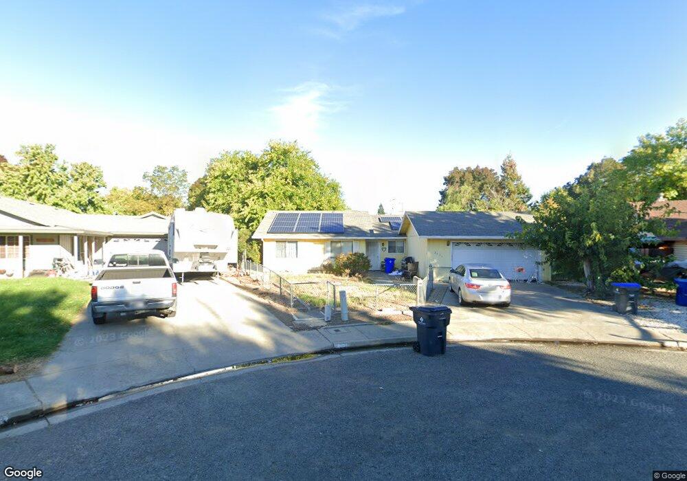
2034 Stonybrook Dr Red Bluff, CA 96080
Estimated Value: $296,000 - $350,000
3
Beds
2
Baths
1,723
Sq Ft
$189/Sq Ft
Est. Value
About This Home
This home is located at 2034 Stonybrook Dr, Red Bluff, CA 96080 and is currently estimated at $325,853, approximately $189 per square foot. 2034 Stonybrook Dr is a home located in Tehama County with nearby schools including Bidwell Elementary School, Vista Preparatory Academy, and Red Bluff High School.
Ownership History
Date
Name
Owned For
Owner Type
Purchase Details
Closed on
Aug 23, 2006
Sold by
Proctor Michelle R
Bought by
Proctor Mark N and Proctor Michelle R
Current Estimated Value
Purchase Details
Closed on
Jan 7, 2004
Sold by
Proctor Mark
Bought by
Proctor Michelle R
Home Financials for this Owner
Home Financials are based on the most recent Mortgage that was taken out on this home.
Original Mortgage
$156,750
Outstanding Balance
$73,916
Interest Rate
6.02%
Mortgage Type
Purchase Money Mortgage
Estimated Equity
$251,937
Purchase Details
Closed on
Jul 15, 2002
Sold by
Carter Elsie L and Schaefer Elsie L
Bought by
Carter Ralph R and Carter Elsie L
Create a Home Valuation Report for This Property
The Home Valuation Report is an in-depth analysis detailing your home's value as well as a comparison with similar homes in the area
Purchase History
We collect this data history from publicly available records. To have your information removed, we recommend requesting removal directly through your county’s website.
| Date | Buyer | Sale Price | Title Company |
|---|---|---|---|
| Proctor Mark N | -- | None Available | |
| Proctor Michelle R | -- | Fidelity National Title | |
| Proctor Michelle R | $165,000 | Fidelity National Title | |
| Carter Ralph R | -- | -- |
Source: Public Records
Mortgage History
We collect this data history from publicly available records. To have your information removed, we recommend requesting removal directly through your county’s website.
| Date | Status | Borrower | Loan Amount |
|---|---|---|---|
| Open | Proctor Michelle R | $156,750 |
Source: Public Records
Tax History
| Year | Tax Paid | Tax Assessment Tax Assessment Total Assessment is a certain percentage of the fair market value that is determined by local assessors to be the total taxable value of land and additions on the property. | Land | Improvement |
|---|---|---|---|---|
| 2025 | $2,006 | $200,424 | $66,808 | $133,616 |
| 2023 | $2,012 | $200,424 | $66,808 | $133,616 |
| 2022 | $2,038 | $200,424 | $66,808 | $133,616 |
| 2021 | $1,995 | $200,424 | $66,808 | $133,616 |
| 2020 | $1,781 | $174,282 | $58,094 | $116,188 |
| 2019 | $1,737 | $165,983 | $55,328 | $110,655 |
| 2018 | $1,484 | $150,893 | $50,298 | $100,595 |
| 2017 | $1,382 | $137,175 | $45,725 | $91,450 |
| 2016 | $1,251 | $130,643 | $43,548 | $87,095 |
| 2015 | $1,250 | $130,643 | $43,548 | $87,095 |
| 2014 | $1,085 | $113,603 | $37,868 | $75,735 |
Source: Public Records
Map
Nearby Homes
- 310 Michael Dr
- 329 Michael Dr
- 379 Michael Dr
- 550 Bayles Ave
- 510 David Ave
- 1455 Acacia St
- 1560 Carl Ct
- 1402 Scottsdale Way
- 1470 Franzel Cir
- 1470 Franzel Rd
- 1307 Deborah Dr
- 1310 Orange St
- 1335 Franzel Rd
- 1410 Crosspoint Way
- 1430 Crosspoint Way
- 1835 Douglass St
- 1735 Douglass St
- 1570 Douglass St
- 1124 Union St
- 1330 4th St
- 2036 Stonybrook Dr
- 2045 Acwron Dr
- 2030 Stonybrook Dr
- 2035 Acwron Dr
- 2055 Acwron Dr
- 2040 Stonybrook Dr
- 2056 Stonybrook Dr
- 2026 Stonybrook Dr
- 2044 Stonybrook Dr
- 2025 Acwron Dr
- 2020 Stonybrook Dr
- 2048 Stonybrook Dr
- 2065 Acwron Dr
- 2060 Stonybrook Dr
- 355 Paskenta Rd
- 335 Paskenta Rd
- 2040 Acwron Dr
- 2015 Acwron Dr
- 2050 Acwron Dr
- 2030 Acwron Dr
Your Personal Tour Guide
Ask me questions while you tour the home.