20497 193rd Street Loop Milford, IA 51351
Estimated Value: $79,912
--
Bed
--
Bath
1,200
Sq Ft
$67/Sq Ft
Est. Value
About This Home
This home is located at 20497 193rd Street Loop, Milford, IA 51351 and is currently estimated at $79,912, approximately $66 per square foot. 20497 193rd Street Loop is a home located in Dickinson County with nearby schools including Okoboji Elementary School, Okoboji Middle School, and Okoboji High School.
Ownership History
Date
Name
Owned For
Owner Type
Purchase Details
Closed on
Jun 22, 2023
Sold by
Nolin Brook A and Nolin Kashia M
Bought by
Stabbe Scott A and Stabbe Barbara A
Current Estimated Value
Home Financials for this Owner
Home Financials are based on the most recent Mortgage that was taken out on this home.
Original Mortgage
$40,000
Outstanding Balance
$38,930
Interest Rate
6.39%
Mortgage Type
New Conventional
Estimated Equity
$40,982
Purchase Details
Closed on
Sep 16, 2021
Sold by
Langel Trust
Bought by
Langel Trust
Purchase Details
Closed on
Aug 2, 2012
Sold by
M Property Llc
Bought by
Langel Dennis L and Dennis L Langel Revocable Trust
Create a Home Valuation Report for This Property
The Home Valuation Report is an in-depth analysis detailing your home's value as well as a comparison with similar homes in the area
Home Values in the Area
Average Home Value in this Area
Purchase History
| Date | Buyer | Sale Price | Title Company |
|---|---|---|---|
| Stabbe Scott A | $69,000 | None Listed On Document | |
| Langel Trust | $52,000 | None Available | |
| Langel Dennis L | $38,500 | None Available |
Source: Public Records
Mortgage History
| Date | Status | Borrower | Loan Amount |
|---|---|---|---|
| Open | Stabbe Scott A | $40,000 |
Source: Public Records
Tax History Compared to Growth
Tax History
| Year | Tax Paid | Tax Assessment Tax Assessment Total Assessment is a certain percentage of the fair market value that is determined by local assessors to be the total taxable value of land and additions on the property. | Land | Improvement |
|---|---|---|---|---|
| 2025 | $462 | $58,200 | $7,100 | $51,100 |
| 2024 | $462 | $53,200 | $7,100 | $46,100 |
| 2023 | $428 | $53,200 | $7,100 | $46,100 |
| 2022 | $686 | $40,600 | $6,500 | $34,100 |
| 2021 | $686 | $40,600 | $6,500 | $34,100 |
| 2020 | $714 | $40,600 | $6,500 | $34,100 |
| 2019 | $658 | $40,600 | $6,500 | $34,100 |
| 2018 | $652 | $39,400 | $6,200 | $33,200 |
| 2017 | $652 | $39,400 | $6,200 | $33,200 |
| 2016 | $606 | $39,100 | $6,100 | $33,000 |
| 2015 | $594 | $39,100 | $6,100 | $33,000 |
| 2014 | $344 | $36,000 | $9,200 | $26,800 |
| 2013 | $328 | $36,000 | $9,200 | $26,800 |
Source: Public Records
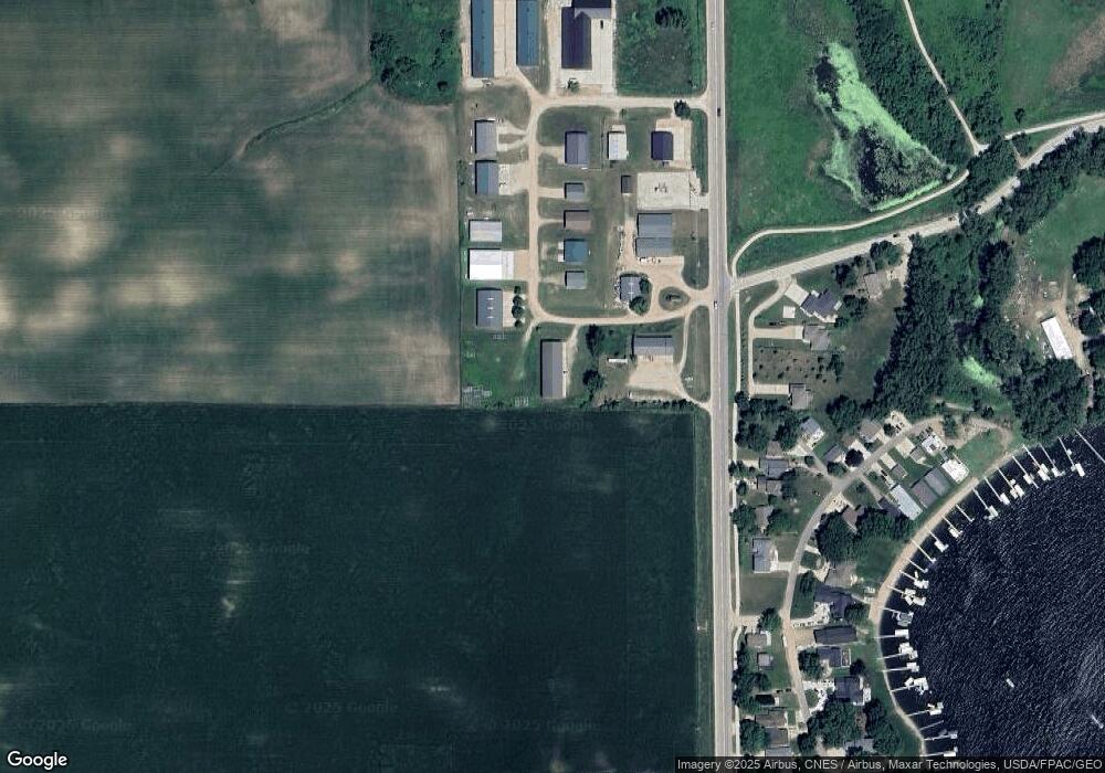
Map
Nearby Homes
- 3012 Lakeview St
- 1808 Edgewood Dr
- 1209 Jerdee Ln
- 1303 Jerdee Ln
- 1012 Hill St
- 2209 Lakeshore Dr
- 2422 Burr Oak Cir
- 2411 Lakeshore Dr
- 2202 Iowa Ave
- 2904 Okoboji Blvd
- 2204 Manhattan Blvd
- 2212 Manhattan Blvd
- 00 1st St
- 3019 1st St
- 900 Terrace Park Blvd
- 2620 Manhattan Blvd
- 162 Pillsbury Point
- 160 Pillsbury Point
- 664 Terrace Park Blvd Unit 29
- 664 Terrace Park Blvd Unit 8
- 20488 193rd Street Loop
- 20494 193rd Street Loop
- 1941 Iowa 86
- 1493 Bayfront St
- 2711 Breezy Heights Dr
- 1489 Bayfront St
- 19540 Highway 86
- 19530 Highway 86
- 1521 Edgewood Dr
- 19550 Highway 86
- 1485 Bayfront St
- 2707 Breezy Heights Dr
- 2705 Breezy Heights Dr
- 2721 Breezy Heights Dr
- 2701 Breezy Heights Dr
- 1501 Edgewood Dr
- 2801 Breezy Heights Dr
- 2714 Breezy Heights Dr
- 20462 193rd Street Loop Unit 14
- 20462 193rd Street Loop Unit 13