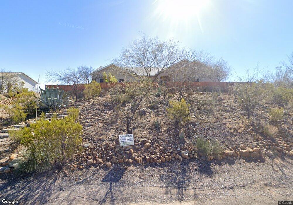
205 W Latigo St Safford, AZ 85546
Estimated Value: $318,000 - $546,000
--
Bed
--
Bath
3,154
Sq Ft
$130/Sq Ft
Est. Value
About This Home
This home is located at 205 W Latigo St, Safford, AZ 85546 and is currently estimated at $410,390, approximately $130 per square foot. 205 W Latigo St is a home located in Graham County with nearby schools including Dorothy Stinson School, Ruth Powell Elementary School, and Lafe Nelson School.
Ownership History
Date
Name
Owned For
Owner Type
Purchase Details
Closed on
Dec 10, 2021
Sold by
Hughes Nam Thi
Bought by
Hughes Nam Thi and Thi Hughes Livin Hughesthe Nam
Current Estimated Value
Purchase Details
Closed on
Nov 14, 2007
Sold by
Allen John and Hughes Nam Thi
Bought by
Hughes John Allen and Hughes Nam Thi
Home Financials for this Owner
Home Financials are based on the most recent Mortgage that was taken out on this home.
Original Mortgage
$230,000
Interest Rate
7.12%
Mortgage Type
New Conventional
Create a Home Valuation Report for This Property
The Home Valuation Report is an in-depth analysis detailing your home's value as well as a comparison with similar homes in the area
Home Values in the Area
Average Home Value in this Area
Purchase History
| Date | Buyer | Sale Price | Title Company |
|---|---|---|---|
| Hughes Nam Thi | -- | None Available | |
| Hughes John Allen | -- | Pioneer Title Agency |
Source: Public Records
Mortgage History
| Date | Status | Borrower | Loan Amount |
|---|---|---|---|
| Closed | Hughes John Allen | $230,000 |
Source: Public Records
Tax History Compared to Growth
Tax History
| Year | Tax Paid | Tax Assessment Tax Assessment Total Assessment is a certain percentage of the fair market value that is determined by local assessors to be the total taxable value of land and additions on the property. | Land | Improvement |
|---|---|---|---|---|
| 2026 | $1,836 | -- | -- | -- |
| 2025 | $1,836 | $36,862 | $825 | $36,037 |
| 2024 | $1,881 | $34,062 | $825 | $33,237 |
| 2023 | $1,881 | $29,694 | $794 | $28,900 |
| 2022 | $1,839 | $26,455 | $882 | $25,573 |
| 2021 | $1,989 | $0 | $0 | $0 |
| 2020 | $2,315 | $0 | $0 | $0 |
| 2019 | $2,417 | $0 | $0 | $0 |
| 2018 | $2,279 | $0 | $0 | $0 |
| 2017 | $2,106 | $0 | $0 | $0 |
| 2016 | $1,937 | $0 | $0 | $0 |
| 2015 | $1,765 | $0 | $0 | $0 |
Source: Public Records
Map
Nearby Homes
- 7577 S Pommel St
- tbd Pommel St Unit B
- TBA W Doggie Dr
- 0000 W Doggie Dr Unit 163
- TBD Quartz Ridge
- 000 S Branding Iron Rd Unit 38
- 0 Us Hwy 191 -- Unit 13 6846235
- 0 Us Hwy 191 Unit 13 22509576
- 7910 U S 191
- 0 Lariat Way Unit 22994149
- TBD #5 Tbd Hwy 191 Unit 5
- 6850 S Us Highway 191
- 8420 S Ute Cir
- 8495 Navajo Dr
- 0.23ac Yavapai Dr Unit 272
- 8656 Yavapai Dr
- 8583 S Thunderbird Dr
- 8615 S Thunderbird Dr
- 8944 S Thomas Place
- 1601 E 68th Place
- 179 W Latigo St
- 7632 S Pommel St
- 204 Latigo St
- 7582 S Pommel St
- 112 E Saddle Dr
- 135 E Saddle Dr
- 137 E Saddle Dr
- 120 W Latigo St
- 158 W Latigo St
- 72xx S Pommel St Unit 270
- 7563 S Stirrup Trail
- 7617 S Stirrup Trail
- 7619 S Pommel St
- 7599 S Pommel St
- AddressTBD W Latigo St
- 7505 Stirrup Trail
- 301 W Rustler Rd
- 7637 S Pommel St
- 7487 S Stirrup Trail
- 221 W Saddle Dr