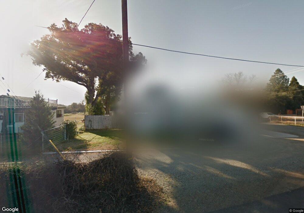
20509 Walnut St Red Bluff, CA 96080
Estimated Value: $324,000 - $416,000
3
Beds
2
Baths
1,627
Sq Ft
$219/Sq Ft
Est. Value
About This Home
This home is located at 20509 Walnut St, Red Bluff, CA 96080 and is currently estimated at $356,849, approximately $219 per square foot. 20509 Walnut St is a home located in Tehama County with nearby schools including Bidwell Elementary School, Vista Preparatory Academy, and Red Bluff High School.
Ownership History
Date
Name
Owned For
Owner Type
Purchase Details
Closed on
Mar 21, 2023
Sold by
Maplesden William D and Maplesden Heidi
Bought by
Dh Maplesden Family Living Trust
Current Estimated Value
Purchase Details
Closed on
May 31, 2007
Sold by
Maplesden William R
Bought by
Maplesden William D and Maplesden Heidi
Home Financials for this Owner
Home Financials are based on the most recent Mortgage that was taken out on this home.
Original Mortgage
$230,400
Interest Rate
6.14%
Mortgage Type
New Conventional
Purchase Details
Closed on
Oct 28, 2003
Sold by
Maplesdaen William R
Bought by
Maplesden William D and Maplesden Heidi
Home Financials for this Owner
Home Financials are based on the most recent Mortgage that was taken out on this home.
Original Mortgage
$108,500
Interest Rate
5.98%
Mortgage Type
Purchase Money Mortgage
Create a Home Valuation Report for This Property
The Home Valuation Report is an in-depth analysis detailing your home's value as well as a comparison with similar homes in the area
Purchase History
| Date | Buyer | Sale Price | Title Company |
|---|---|---|---|
| Dh Maplesden Family Living Trust | -- | None Listed On Document | |
| Maplesden William D | -- | North State Title Company | |
| Maplesden William R | -- | North State Title Company | |
| Maplesden William D | -- | Fidelity National Title |
Source: Public Records
Mortgage History
| Date | Status | Borrower | Loan Amount |
|---|---|---|---|
| Previous Owner | Maplesden William D | $230,400 | |
| Previous Owner | Maplesden William D | $108,500 |
Source: Public Records
Tax History
| Year | Tax Paid | Tax Assessment Tax Assessment Total Assessment is a certain percentage of the fair market value that is determined by local assessors to be the total taxable value of land and additions on the property. | Land | Improvement |
|---|---|---|---|---|
| 2025 | $1,440 | $140,703 | $25,178 | $115,525 |
| 2023 | $1,416 | $135,241 | $24,201 | $111,040 |
| 2022 | $1,407 | $132,590 | $23,727 | $108,863 |
| 2021 | $1,351 | $129,991 | $23,262 | $106,729 |
| 2020 | $1,371 | $128,659 | $23,024 | $105,635 |
| 2019 | $1,380 | $126,137 | $22,573 | $103,564 |
| 2018 | $1,276 | $123,665 | $22,131 | $101,534 |
| 2017 | $1,288 | $121,242 | $21,698 | $99,544 |
| 2016 | $1,203 | $118,866 | $21,273 | $97,593 |
| 2015 | $1,184 | $117,082 | $20,954 | $96,128 |
| 2014 | $1,167 | $114,789 | $20,544 | $94,245 |
Source: Public Records
Map
Nearby Homes
- 12890 Ivy Ln
- 12915 Gardenia Ave
- 340 Christina Dr
- 329 Michael Dr
- 2030 Pebblestone Dr
- 550 Bayles Ave
- 1645 Aloha St
- 1835 Douglass St
- 920 Dumosa Dr
- 1570 Douglass St
- 1720 Luning St
- 1707 Luning St
- 1710 Luning St
- 1715 Walbridge St
- 1455 Acacia St
- 1402 Scottsdale Way
- 1560 Carl Ct
- 1356 Park Ave
- 1235 Britt Ln
- 1359 2nd St
- 20519 Walnut St
- 12840 Wilder Rd
- 12875 Wilder Rd
- 12849 Wilder Rd
- 20525 Walnut St
- 20485 Womack Rd
- 20485 Womack Rd
- 12857 Wilder Rd
- 12824 Wilder Rd
- 20486 Womack Rd
- 12905 Wilder Rd
- 12815 Wilder Rd
- 20477 Womack Rd
- 20545 Walnut St
- 20473 Womack Rd
- 20482 Womack Rd
- 20478 Womack Rd
- 12911 Wilder Rd
- 20469 Womack Rd
- 20465 Womack Rd
Your Personal Tour Guide
Ask me questions while you tour the home.