2081 Sealy Ridge Rd Vincent, OH 45784
Estimated Value: $112,000 - $218,000
3
Beds
1
Bath
988
Sq Ft
$181/Sq Ft
Est. Value
About This Home
This home is located at 2081 Sealy Ridge Rd, Vincent, OH 45784 and is currently estimated at $178,847, approximately $181 per square foot. 2081 Sealy Ridge Rd is a home located in Washington County with nearby schools including Warren High School.
Ownership History
Date
Name
Owned For
Owner Type
Purchase Details
Closed on
Apr 18, 2022
Sold by
Nichols Lila Lee and Nichols Delbert Wayne
Bought by
Stockman Bradley
Current Estimated Value
Purchase Details
Closed on
Jul 12, 2012
Sold by
Nichols Charles H and Nichols Lila L
Bought by
Taylor Michael A and Taylor Arielle
Purchase Details
Closed on
Jun 30, 2011
Sold by
Nichols Charles H and Nichols Lila L
Bought by
Hartshorn Justin
Purchase Details
Closed on
Jul 28, 2009
Sold by
Nichols Charles H and Nichols Lila L
Bought by
Nichols Delbert and Nichols Virginia
Create a Home Valuation Report for This Property
The Home Valuation Report is an in-depth analysis detailing your home's value as well as a comparison with similar homes in the area
Home Values in the Area
Average Home Value in this Area
Purchase History
| Date | Buyer | Sale Price | Title Company |
|---|---|---|---|
| Stockman Bradley | -- | None Listed On Document | |
| Taylor Michael A | $36,000 | Attorney | |
| Hartshorn Justin | $45,000 | Attorney | |
| Nichols Delbert | $2,000 | Attorney |
Source: Public Records
Tax History Compared to Growth
Tax History
| Year | Tax Paid | Tax Assessment Tax Assessment Total Assessment is a certain percentage of the fair market value that is determined by local assessors to be the total taxable value of land and additions on the property. | Land | Improvement |
|---|---|---|---|---|
| 2024 | $1,229 | $30,040 | $9,030 | $21,010 |
| 2023 | $1,229 | $30,040 | $9,030 | $21,010 |
| 2022 | $1,246 | $30,040 | $9,030 | $21,010 |
| 2021 | $1,218 | $37,100 | $7,240 | $29,860 |
| 2020 | $1,143 | $37,100 | $7,240 | $29,860 |
| 2019 | $1,127 | $37,100 | $7,240 | $29,860 |
| 2018 | $1,065 | $34,680 | $6,580 | $28,100 |
| 2017 | $1,059 | $34,680 | $6,580 | $28,100 |
| 2016 | $1,779 | $34,680 | $6,580 | $28,100 |
| 2015 | $962 | $34,810 | $6,130 | $28,680 |
| 2014 | $1,806 | $34,810 | $6,130 | $28,680 |
| 2013 | $467 | $34,810 | $6,130 | $28,680 |
Source: Public Records
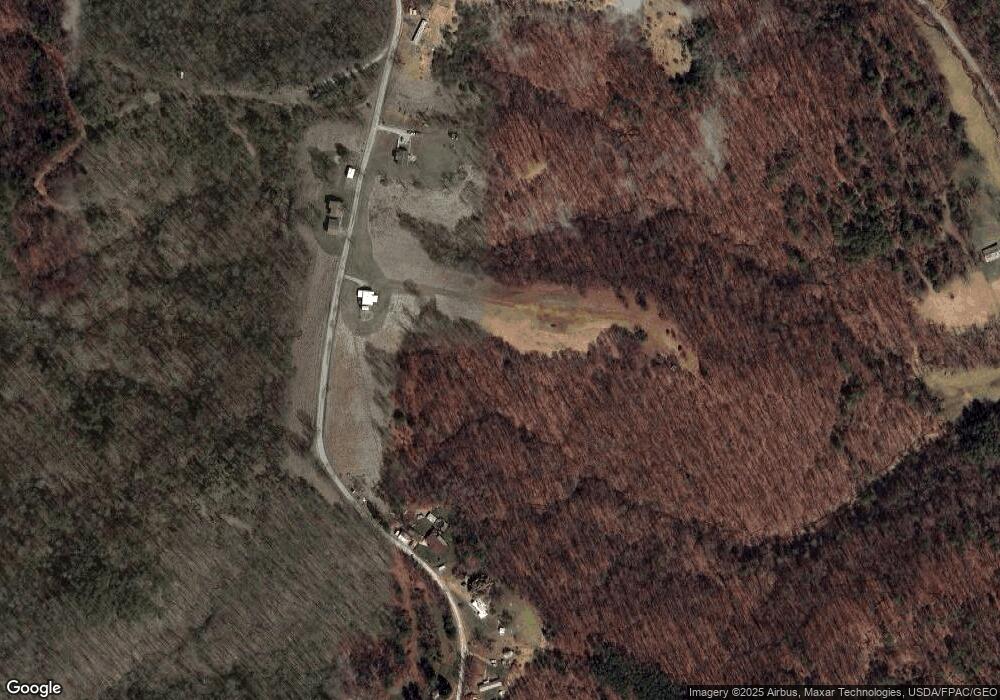
Map
Nearby Homes
- 2207 Veto Rd
- 28 Mcgill Rd
- 852 Wallace Rd
- 464 Cave Hill Rd
- 1556 Mcgill Rd
- 631 Short Brook Rd
- 0 T1309
- 0 Brackenridge Rd Unit 23885979
- 0 Brackenridge Rd Unit 23885976
- 19 Suzanne St
- 265 James Ln
- 1462 State Route 339
- 1396 State Route 339
- 120 Fleming Dr
- 966 State Route 555
- 135 Knob Dr
- 735 Timberline Dr
- 15 Oakmont Dr
- 00 Orchard Dr
- 2120 Federal Rd
- 2080 Sealy Ridge Rd
- 2126 Sealy Ridge Rd
- 2325 Sealy Ridge Rd
- 1866 Sealy Ridge Rd
- 1660 Sealy Ridge Rd
- 600 Springston Rd
- 293 Springston Rd
- 2500 Sealy Ridge Rd
- 2620 Sealy Ridge Rd
- 1541 Sealy Ridge Rd
- 1508 Sealy Ridge Rd
- 2680 Sealy Ridge Rd
- 614 Springston Rd
- 0 Township Road 113 Unit 3843149
- 0 Township Road 113 Unit 5016618
- 1426 Sealy Ridge Rd
- 576 Mcgill Rd
- 2822 Sealy Ridge Rd
- 1600 Cave Hill Rd
- 2836 Sealy Ridge Rd