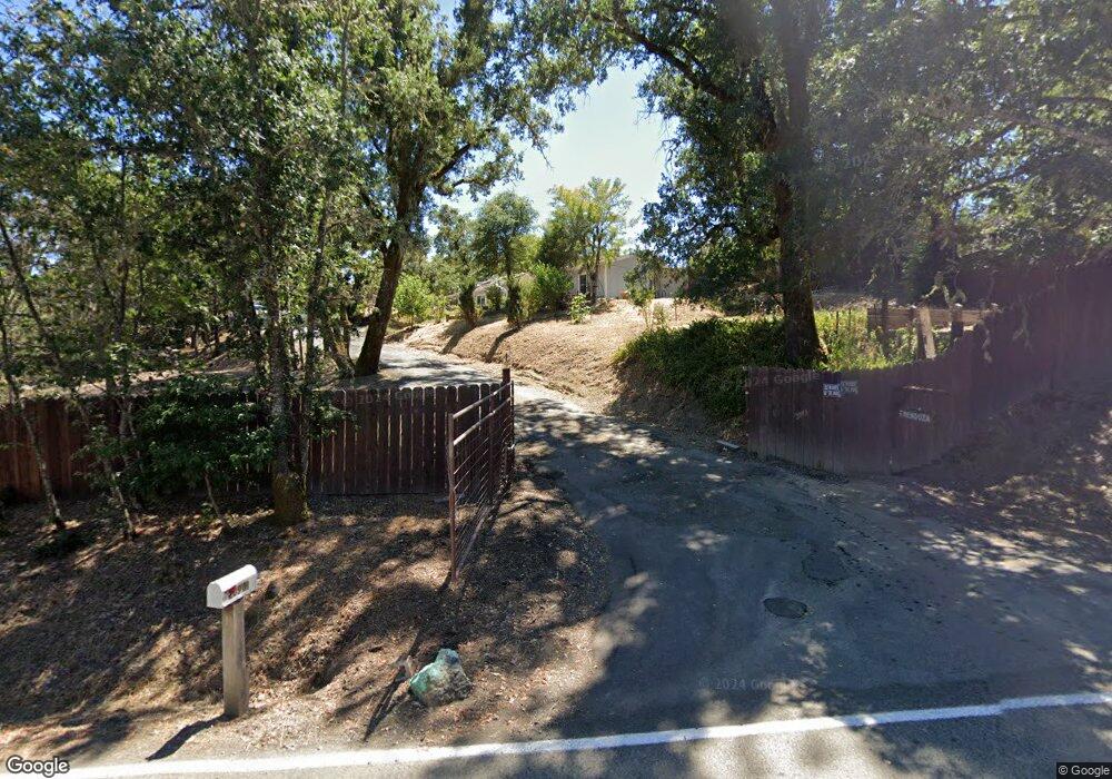
20901 Locust St Willits, CA 95490
Estimated Value: $213,000 - $359,000
--
Bed
--
Bath
--
Sq Ft
0.98
Acres
About This Home
This home is located at 20901 Locust St, Willits, CA 95490 and is currently estimated at $293,325. 20901 Locust St is a home located in Mendocino County with nearby schools including Blosser Lane Elementary School, Brookside Elementary School, and Baechtel Grove Middle School.
Ownership History
Date
Name
Owned For
Owner Type
Purchase Details
Closed on
Jan 7, 2011
Sold by
Hankes Mary Lee
Bought by
Mendoza Julian and Mendoza Alicia
Current Estimated Value
Home Financials for this Owner
Home Financials are based on the most recent Mortgage that was taken out on this home.
Original Mortgage
$105,000
Outstanding Balance
$71,036
Interest Rate
4.62%
Mortgage Type
Seller Take Back
Estimated Equity
$222,289
Create a Home Valuation Report for This Property
The Home Valuation Report is an in-depth analysis detailing your home's value as well as a comparison with similar homes in the area
Home Values in the Area
Average Home Value in this Area
Purchase History
| Date | Buyer | Sale Price | Title Company |
|---|---|---|---|
| Mendoza Julian | $145,000 | First American Title Company |
Source: Public Records
Mortgage History
| Date | Status | Borrower | Loan Amount |
|---|---|---|---|
| Open | Mendoza Julian | $105,000 |
Source: Public Records
Tax History Compared to Growth
Tax History
| Year | Tax Paid | Tax Assessment Tax Assessment Total Assessment is a certain percentage of the fair market value that is determined by local assessors to be the total taxable value of land and additions on the property. | Land | Improvement |
|---|---|---|---|---|
| 2025 | $2,172 | $185,757 | $64,052 | $121,705 |
| 2023 | $2,172 | $178,546 | $61,566 | $116,980 |
| 2022 | $2,074 | $175,046 | $60,359 | $114,687 |
| 2021 | $2,060 | $171,615 | $59,176 | $112,439 |
| 2020 | $2,009 | $169,858 | $58,572 | $111,286 |
| 2019 | $2,006 | $166,529 | $57,424 | $109,105 |
| 2018 | $1,864 | $163,264 | $56,298 | $106,966 |
| 2017 | $1,825 | $160,065 | $55,195 | $104,870 |
| 2016 | $1,812 | $156,927 | $54,113 | $102,814 |
| 2015 | $1,782 | $154,570 | $53,300 | $101,270 |
| 2014 | $1,760 | $151,542 | $52,256 | $99,286 |
Source: Public Records
Map
Nearby Homes
- 1750 S Main St Unit 37
- 481 Della Ave
- 1591 S Main St
- 454 Della Ave
- 490 Della Ave
- 1389 Eva Clair St
- 0 Poplar Ave Unit 325063064
- 201 Bonnie Ln
- 65 Nancy Ln
- 1051 S Main St
- 80 Fort Bragg Rd
- 0 Muir Mill Rd
- 755 Central Ave
- 450 Grove St
- 155 California St
- 98 Harms Ln
- 316 S Main St
- 288 E San Francisco Ave
- 308 Coast St
- 458 E San Francisco Ave
- 20951 Locust St
- 20391 Locust St
- 20900 Locust St
- 20880 Locust St
- 20801 Locust St
- 20870 Locust St
- 451 Locust Ln
- 501 Locust Ln
- 511 Locust Ln
- 20850 Locust St
- 20860 Locust St
- 20800 Locust St
- 581 Locust Ln
- 20805 Locust St
- 21000 Locust St
- 20750 Locust St
- 20751 Locust St
- 21051 Locust St
- 20741 Locust St
- 20920 E Tattersfield Hwy