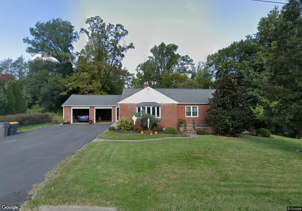
21 Cornell Rd Wilmington, DE 19808
Estimated Value: $378,000 - $506,000
4
Beds
2
Baths
1,846
Sq Ft
$228/Sq Ft
Est. Value
About This Home
This home is located at 21 Cornell Rd, Wilmington, DE 19808 and is currently estimated at $421,165, approximately $228 per square foot. 21 Cornell Rd is a home located in New Castle County with nearby schools including Skyline Middle School, Thomas McKean High School, and Gateway Charter School Delaware.
Ownership History
Date
Name
Owned For
Owner Type
Purchase Details
Closed on
Aug 1, 2018
Sold by
Steele Paula A
Bought by
Zwissler Robert and Zwissler Dorothy
Current Estimated Value
Home Financials for this Owner
Home Financials are based on the most recent Mortgage that was taken out on this home.
Original Mortgage
$100,000
Outstanding Balance
$74,263
Interest Rate
4.5%
Mortgage Type
New Conventional
Estimated Equity
$346,902
Purchase Details
Closed on
May 14, 2003
Sold by
Dillon Paula A and Steele Paula A
Bought by
Steele Paula A
Home Financials for this Owner
Home Financials are based on the most recent Mortgage that was taken out on this home.
Original Mortgage
$68,000
Interest Rate
5.84%
Mortgage Type
Purchase Money Mortgage
Create a Home Valuation Report for This Property
The Home Valuation Report is an in-depth analysis detailing your home's value as well as a comparison with similar homes in the area
Home Values in the Area
Average Home Value in this Area
Purchase History
| Date | Buyer | Sale Price | Title Company |
|---|---|---|---|
| Zwissler Robert | -- | None Available | |
| Steele Paula A | -- | Security Title Guarantee Cor |
Source: Public Records
Mortgage History
| Date | Status | Borrower | Loan Amount |
|---|---|---|---|
| Open | Zwissler Robert | $100,000 | |
| Previous Owner | Steele Paula A | $68,000 |
Source: Public Records
Tax History Compared to Growth
Tax History
| Year | Tax Paid | Tax Assessment Tax Assessment Total Assessment is a certain percentage of the fair market value that is determined by local assessors to be the total taxable value of land and additions on the property. | Land | Improvement |
|---|---|---|---|---|
| 2024 | $2,213 | $59,700 | $14,100 | $45,600 |
| 2023 | $1,952 | $59,700 | $14,100 | $45,600 |
| 2022 | $1,992 | $60,200 | $14,100 | $46,100 |
| 2021 | $1,991 | $60,200 | $14,100 | $46,100 |
| 2020 | $1,998 | $60,200 | $14,100 | $46,100 |
| 2019 | $2,179 | $60,700 | $14,100 | $46,600 |
| 2018 | $1,573 | $60,700 | $14,100 | $46,600 |
| 2017 | $1,549 | $60,700 | $14,100 | $46,600 |
| 2016 | $1,360 | $60,700 | $14,100 | $46,600 |
| 2015 | $1,245 | $60,700 | $14,100 | $46,600 |
| 2014 | $1,114 | $60,700 | $14,100 | $46,600 |
Source: Public Records
Map
Nearby Homes
- 2608 Newport Gap Pike
- 3704 Evelyn Dr
- 2620 Maclary Dr
- 3206 Dunlap Dr
- 603 Milltown Rd
- 8 Tarragon Ct
- 3838 Eunice Ave
- 3841 Katherine Ave
- 2422 W Parris Dr
- 3810 Katherine Ave
- 2628 Newell Dr
- 2501 Crossgates Dr
- 2511 Crossgates Dr
- 13 Center Cir
- 908 Bradley Dr
- 2414 Horace Dr
- 2737 Tanager Dr
- 2410 Hammond Place
- 3423 Clayton Ave
- 12 Toby Ct
- 19 Cornell Rd
- 23 Cornell Rd
- 16 Cornell Rd
- 17 Cornell Rd
- 18 Cornell Rd
- 14 Cornell Rd
- 2701 Duncan Rd
- 2703 Duncan Rd
- 12 Cornell Rd
- 15 Cornell Rd
- 22 Cornell Rd
- 2705 Duncan Rd
- 209 Milltown Rd
- 2603 Duncan Rd
- 207 Milltown Rd
- 10 Cornell Rd
- 2707 Duncan Rd
- 2702 Newport Gap Pike
- 211 Milltown Rd
- 205 Milltown Rd