Estimated Value: $232,562 - $282,000
3
Beds
2
Baths
1,854
Sq Ft
$137/Sq Ft
Est. Value
About This Home
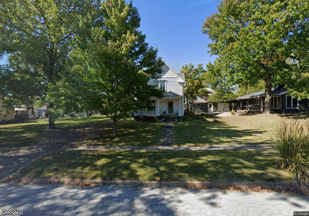
This home is located at 211 Franklin Ave, Eldon, MO 65026 and is currently estimated at $254,641, approximately $137 per square foot. 211 Franklin Ave is a home located in Miller County with nearby schools including South Elementary School, Eldon Upper Elementary School, and Eldon Middle School.
Ownership History
Date
Name
Owned For
Owner Type
Purchase Details
Closed on
Jul 8, 2010
Sold by
Fancher Peggy Dean
Bought by
Dearixon Betsy
Current Estimated Value
Home Financials for this Owner
Home Financials are based on the most recent Mortgage that was taken out on this home.
Original Mortgage
$77,300
Outstanding Balance
$50,692
Interest Rate
4.77%
Mortgage Type
New Conventional
Estimated Equity
$203,949
Purchase Details
Closed on
May 5, 2010
Sold by
Fancher Terry Lee
Bought by
Fancher Peggy Deane
Create a Home Valuation Report for This Property
The Home Valuation Report is an in-depth analysis detailing your home's value as well as a comparison with similar homes in the area
Home Values in the Area
Average Home Value in this Area
Purchase History
| Date | Buyer | Sale Price | Title Company |
|---|---|---|---|
| Dearixon Betsy | -- | Ozarks Land Title Co | |
| Fancher Peggy Deane | -- | None Available |
Source: Public Records
Mortgage History
| Date | Status | Borrower | Loan Amount |
|---|---|---|---|
| Open | Dearixon Betsy | $77,300 |
Source: Public Records
Tax History
| Year | Tax Paid | Tax Assessment Tax Assessment Total Assessment is a certain percentage of the fair market value that is determined by local assessors to be the total taxable value of land and additions on the property. | Land | Improvement |
|---|---|---|---|---|
| 2025 | $643 | $14,860 | $2,310 | $12,550 |
| 2024 | $598 | $13,160 | $2,100 | $11,060 |
| 2023 | $598 | $13,160 | $2,100 | $11,060 |
| 2022 | $598 | $13,160 | $2,100 | $11,060 |
| 2021 | $598 | $13,160 | $2,100 | $11,060 |
| 2020 | $563 | $12,270 | $2,100 | $10,170 |
| 2019 | $564 | $12,270 | $2,100 | $10,170 |
| 2018 | $609 | $12,270 | $2,100 | $10,170 |
| 2017 | $595 | $13,470 | $2,200 | $11,270 |
| 2016 | $599 | $13,470 | $0 | $0 |
| 2015 | -- | $13,470 | $0 | $0 |
| 2012 | -- | $13,430 | $0 | $0 |
Source: Public Records
Map
Nearby Homes
- 207 Franklin Ave
- 612 E High St
- 508 E Harrison St
- 406 N Mill St
- 110 W Autry St
- 107 Lynn Ave
- 502 N Vernon Dr
- 306 El Donna Ave
- 130 S Grand Ave
- 1007 E Lawson Ave
- 225 Missouri 87
- 204 W Jemphrey Rd
- 109 W Haynes St
- 134 W 8th St
- 904 Larkin Dr
- 414 W 6th St
- Lot 5 W Bourbon St
- Lot 7 W Bourbon St
- Lot 9 W Bourbon St
- Lot 6 W Bourbon St
- 211 Franklin Ave
- 211 N Franklin
- 504 E Newton St
- 502 E Newton St
- 602 E Newton St
- 204 Franklin Ave
- 206 Leeds Ave
- 602 E Newton St
- 201 Franklin Ave
- 202 N Leeds Ave
- 202 Leeds Ave
- 608 E Newton St
- 505 E Newton St
- 501 E Newton St
- 601 E Newton St
- 605 E High St
- 209 Leeds Ave
- 207 Leeds Ave
- 117 Franklin Ave
- 118 Leeds Ave
Your Personal Tour Guide
Ask me questions while you tour the home.