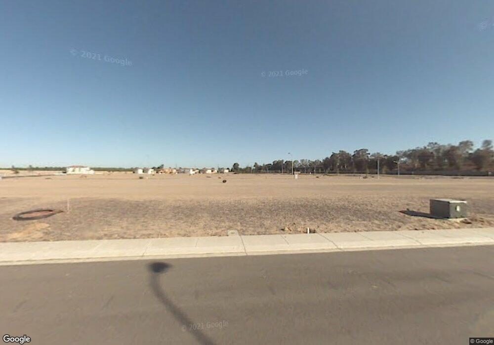
2117 Rockport Ct Atwater, CA 95301
Estimated Value: $460,186 - $516,000
4
Beds
3
Baths
1,855
Sq Ft
$265/Sq Ft
Est. Value
About This Home
This home is located at 2117 Rockport Ct, Atwater, CA 95301 and is currently estimated at $491,047, approximately $264 per square foot. 2117 Rockport Ct is a home with nearby schools including Mitchell Elementary School, Mitchell Intermediate School, and Atwater High School.
Ownership History
Date
Name
Owned For
Owner Type
Purchase Details
Closed on
Jan 21, 2022
Sold by
Dr Horton Ca3 Inc
Bought by
Bounlangsy Jaytrin Jay
Current Estimated Value
Home Financials for this Owner
Home Financials are based on the most recent Mortgage that was taken out on this home.
Original Mortgage
$426,703
Outstanding Balance
$395,470
Interest Rate
3.55%
Mortgage Type
New Conventional
Estimated Equity
$95,577
Purchase Details
Closed on
Dec 28, 2020
Sold by
Fagundes Fagundes Fagundes Fagundes
Bought by
D R Horton Ca3 Inc
Purchase Details
Closed on
Dec 23, 2020
Sold by
Fagundes Fagundes Fagundes Fagundes
Bought by
D R Horton Ca3 Inc
Purchase Details
Closed on
Apr 30, 2018
Sold by
Fagundes Fred and Fagundes Deborah
Bought by
Fagundes Fagundes Fagundes Fagundes
Create a Home Valuation Report for This Property
The Home Valuation Report is an in-depth analysis detailing your home's value as well as a comparison with similar homes in the area
Home Values in the Area
Average Home Value in this Area
Purchase History
| Date | Buyer | Sale Price | Title Company |
|---|---|---|---|
| Bounlangsy Jaytrin Jay | $440,000 | Fidelity National Title | |
| D R Horton Ca3 Inc | $5,015,000 | First American Title Company | |
| D R Horton Ca3 Inc | $5,015,000 | First American Title | |
| Fagundes Fagundes Fagundes Fagundes | -- | First American Title |
Source: Public Records
Mortgage History
| Date | Status | Borrower | Loan Amount |
|---|---|---|---|
| Open | Bounlangsy Jaytrin Jay | $426,703 |
Source: Public Records
Tax History Compared to Growth
Tax History
| Year | Tax Paid | Tax Assessment Tax Assessment Total Assessment is a certain percentage of the fair market value that is determined by local assessors to be the total taxable value of land and additions on the property. | Land | Improvement |
|---|---|---|---|---|
| 2025 | $4,881 | $466,823 | $90,202 | $376,621 |
| 2024 | $4,881 | $457,671 | $88,434 | $369,237 |
| 2023 | $4,791 | $448,698 | $86,700 | $361,998 |
| 2022 | $2,632 | $241,700 | $86,700 | $155,000 |
| 2021 | $959 | $85,000 | $85,000 | $0 |
| 2020 | $677 | $46,818 | $46,818 | $0 |
| 2019 | $571 | $45,900 | $45,900 | $0 |
| 2018 | $368 | $28,856 | $28,856 | $0 |
| 2017 | $311 | $28,291 | $28,291 | $0 |
| 2016 | $360 | $27,737 | $27,737 | $0 |
| 2015 | $362 | $27,321 | $27,321 | $0 |
| 2014 | $375 | $26,786 | $26,786 | $0 |
Source: Public Records
Map
Nearby Homes
- 1945 Shasta Dr
- 2125 Redding Way
- 1940 Truckee Dr
- 1988 Truckee Dr
- 2104 Redding Way
- 2355 Atwater Blvd Unit 18
- 2355 Atwater Blvd Unit 28
- 2355 Atwater Blvd Unit 1
- 2294 Olive Ave
- 1065 Vine St
- 2108 George Washington Ct
- 1883 Sycamore Ave
- 2092 Patriotic Dr
- 1831 Olive Ave
- 1201 Sierra Vista St
- 0 Vine Ave Unit 224080034
- 1356 Sierra Vista St
- 1241 Broadway Ave
- 2324 Crestview Dr
- 2451 Brodalski St
- 2121 Rockport Ct Unit 126
- 2113 Rockport Ct
- 2112 Arcata Way Unit 132
- 2116 Arcata Ct
- 2125 Rockport Ct
- 2125 Rockport Ct Unit 127
- 2109 Rockport Ct Unit 123
- 2120 Arcata Way Unit 130
- 2108 Arcata Way Unit 133
- 2116 Rockport Ct
- 2120 Rockport Ct
- 2112 Rockport Ct
- 2129 Rockport Ct Unit 128
- 2105 Rockport Ct
- 2124 Arcata Ct
- 2108 Rockport Ct
- 2124 Rockport Ct
- 2104 Arcata Way Unit 134
- 2113 Arcata Way Unit 139
- 2128 Rockport Ct
