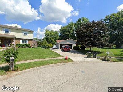
213 Rossman Ct Franklin, OH 45005
Estimated Value: $253,000 - $292,000
3
Beds
2
Baths
1,769
Sq Ft
$152/Sq Ft
Est. Value
About This Home
This home is located at 213 Rossman Ct, Franklin, OH 45005 and is currently estimated at $268,132, approximately $151 per square foot. 213 Rossman Ct is a home located in Warren County with nearby schools including Franklin High School and The CinDay Academy.
Ownership History
Date
Name
Owned For
Owner Type
Purchase Details
Closed on
Dec 29, 2006
Sold by
Rowland Roger Dale and Estate Of Earl Rowland
Bought by
Daugherty Gary L and Daugherty Connie L
Current Estimated Value
Purchase Details
Closed on
Jul 2, 1986
Sold by
Cramer Cramer and Cramer William E
Bought by
Rowland Rowland and Rowland Earl
Purchase Details
Closed on
Feb 9, 1979
Sold by
Kirkpatrick Kirkpatrick and Kirkpatrick Bobby R
Purchase Details
Closed on
May 9, 1978
Sold by
Crains Run Development Co
Create a Home Valuation Report for This Property
The Home Valuation Report is an in-depth analysis detailing your home's value as well as a comparison with similar homes in the area
Home Values in the Area
Average Home Value in this Area
Purchase History
| Date | Buyer | Sale Price | Title Company |
|---|---|---|---|
| Daugherty Gary L | $127,000 | Sterling Land Title | |
| Rowland Rowland | $60,000 | -- | |
| -- | $51,000 | -- | |
| -- | $9,800 | -- |
Source: Public Records
Tax History Compared to Growth
Tax History
| Year | Tax Paid | Tax Assessment Tax Assessment Total Assessment is a certain percentage of the fair market value that is determined by local assessors to be the total taxable value of land and additions on the property. | Land | Improvement |
|---|---|---|---|---|
| 2024 | $2,632 | $65,610 | $17,500 | $48,110 |
| 2023 | $2,353 | $53,511 | $10,762 | $42,749 |
| 2022 | $2,309 | $53,512 | $10,763 | $42,749 |
| 2021 | $2,189 | $53,512 | $10,763 | $42,749 |
| 2020 | $1,929 | $43,505 | $8,750 | $34,755 |
| 2019 | $1,755 | $43,505 | $8,750 | $34,755 |
| 2018 | $1,758 | $43,505 | $8,750 | $34,755 |
| 2017 | $1,586 | $37,426 | $7,648 | $29,778 |
| 2016 | $1,616 | $37,426 | $7,648 | $29,778 |
| 2015 | $1,616 | $37,426 | $7,648 | $29,778 |
| 2014 | $1,630 | $37,430 | $7,650 | $29,780 |
| 2013 | $1,400 | $42,820 | $8,750 | $34,070 |
Source: Public Records
Map
Nearby Homes
- 215 E Bryant Ave
- 103 Warren Ave
- 52 Ruppert Ct
- 41 Ruppert Ct
- 315 Bridge St
- 931 Virginia Ave
- 8810 Cam Dr
- 260 Holly Dr
- 10 S River St
- 22 High St
- 143 Timber Ridge Dr
- 137 Dalton Ave
- 759 David Blvd
- 417 Spring Ave
- 611 Meadowview Ct
- 142 Willard Ave
- 1501 Knightsbridge Ct
- 118 Arthur Ave
- 122 Arthur Ave
- 153 Arthur Ave
- 213 Rossman Ct
- 211 Rossman Ct
- 212 Rossman Ct
- 905 Victoria Dr
- 907 Victoria Dr
- 903 Victoria Dr
- 901 Victoria Dr
- 909 Victoria Dr
- 209 Rossman Ct
- 819 Victoria Dr
- 312 Cris Ct
- 210 Rossman Ct
- 208 Rossman Ct
- 911 Victoria Dr
- 817 Victoria Dr
- 207 Rossman Ct
- 206 Rossman Ct
- 316 Cris Ct
- 600 Black Dr
- 811 Victoria Dr