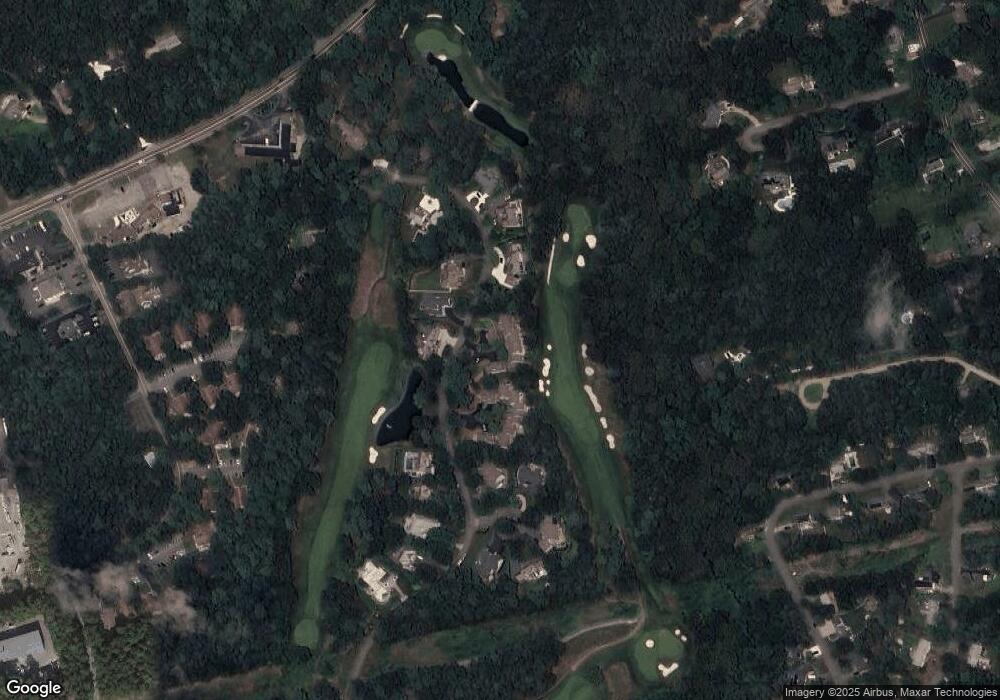
219 Dunrobin Rd Mashpee, MA 02649
Estimated Value: $955,000 - $1,167,000
3
Beds
3
Baths
1,887
Sq Ft
$560/Sq Ft
Est. Value
About This Home
This home is located at 219 Dunrobin Rd, Mashpee, MA 02649 and is currently estimated at $1,057,456, approximately $560 per square foot. 219 Dunrobin Rd is a home located in Barnstable County with nearby schools including Kenneth C. Coombs School, Quashnet School, and Mashpee Middle School.
Ownership History
Date
Name
Owned For
Owner Type
Purchase Details
Closed on
Jun 8, 2023
Sold by
Winters Marcia E and Greco Martin J
Bought by
Greco & Winters Ret and Greco
Current Estimated Value
Purchase Details
Closed on
May 31, 2002
Sold by
Breed David B
Bought by
Beers Scott S and Beers Patricia
Home Financials for this Owner
Home Financials are based on the most recent Mortgage that was taken out on this home.
Original Mortgage
$528,000
Interest Rate
7%
Mortgage Type
Purchase Money Mortgage
Purchase Details
Closed on
May 21, 1997
Sold by
Willowbend Dev Corp
Bought by
Breed David and Breed Deborah
Purchase Details
Closed on
Aug 17, 1995
Sold by
Harney Christopher P and Harney Michele A
Bought by
Willowbend Dev Corp
Purchase Details
Closed on
Dec 28, 1993
Sold by
Willowbrook Dev Corp
Bought by
Harney Christopher P and Harney Michele A
Create a Home Valuation Report for This Property
The Home Valuation Report is an in-depth analysis detailing your home's value as well as a comparison with similar homes in the area
Home Values in the Area
Average Home Value in this Area
Purchase History
| Date | Buyer | Sale Price | Title Company |
|---|---|---|---|
| Greco & Winters Ret | -- | None Available | |
| Beers Scott S | $585,000 | -- | |
| Breed David | $315,000 | -- | |
| Willowbend Dev Corp | $260,000 | -- | |
| Harney Christopher P | $260,000 | -- |
Source: Public Records
Mortgage History
| Date | Status | Borrower | Loan Amount |
|---|---|---|---|
| Previous Owner | Harney Christopher P | $468,000 | |
| Previous Owner | Harney Christopher P | $528,000 |
Source: Public Records
Tax History Compared to Growth
Tax History
| Year | Tax Paid | Tax Assessment Tax Assessment Total Assessment is a certain percentage of the fair market value that is determined by local assessors to be the total taxable value of land and additions on the property. | Land | Improvement |
|---|---|---|---|---|
| 2025 | $5,894 | $890,400 | $0 | $890,400 |
| 2024 | $5,105 | $794,000 | $0 | $794,000 |
| 2023 | $4,999 | $713,100 | $0 | $713,100 |
| 2022 | $4,196 | $513,600 | $0 | $513,600 |
| 2021 | $4,149 | $457,400 | $0 | $457,400 |
| 2020 | $4,062 | $446,900 | $0 | $446,900 |
| 2019 | $3,939 | $435,200 | $0 | $435,200 |
| 2018 | $3,815 | $427,700 | $0 | $427,700 |
| 2017 | $3,918 | $426,300 | $0 | $426,300 |
| 2016 | $3,793 | $410,500 | $0 | $410,500 |
| 2015 | $3,611 | $396,400 | $0 | $396,400 |
| 2014 | $3,579 | $381,100 | $0 | $381,100 |
Source: Public Records
Map
Nearby Homes
- 220 Dunrobin Rd
- 226 Dunrobin Rd
- 70 Cape Dr Unit 14D
- 4701 Falmouth Rd
- 783
- 15 Hampton Ct Unit 15
- 15 Hampton Ct
- 16 Spring Brook Ln
- 4 Bishops Park
- 6 Mayfair Ct
- 6 Mayfair Ct Unit 6
- 24 Hampton Ct Unit 24
- 24 Hampton Ct
- 70 Simons Rd Unit E
- 70 Simons Rd
- 5 Darby Point Unit 5
- 75 Bob White Run
- 295 Pheasant Hill Cir
- 45 Simons Rd Unit A
- 30 Windsor Point
- 217 Dunrobin Rd
- 215 Dunrobin Rd
- 213 Dunrobin Rd
- 211 Dunrobin Rd
- 205 Dunrobin Rd
- 203 Dunrobin Rd
- 201 Dunrobin Rd
- 201 Dun Robin Rd
- 201 Dunrobin Rd Unit 201
- 222 Dunrobin Rd
- 209 Dunrobin Rd
- 207 Dunrobin Rd
- 209 Dunrobin Rd Unit 209
- 224 Dunrobin Rd
- 223 Dunrobin Rd
- 225 Dunrobin Rd
- 4 Hidden Oaks Ln
- 188 Dunrobin Rd
- 6 Hidden Oaks Ln
- 227 Dunrobin Rd
