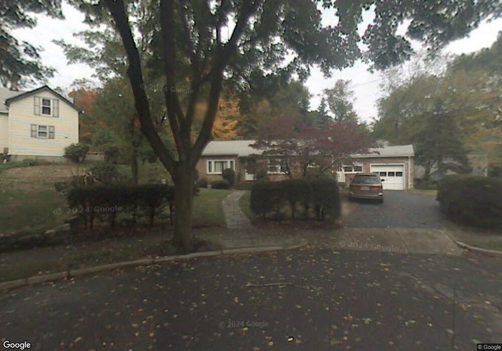
22 Cappy Cir West Newton, MA 02465
West Newton NeighborhoodEstimated Value: $946,000 - $2,194,000
5
Beds
5
Baths
3,293
Sq Ft
$522/Sq Ft
Est. Value
About This Home
This home is located at 22 Cappy Cir, West Newton, MA 02465 and is currently estimated at $1,719,383, approximately $522 per square foot. 22 Cappy Cir is a home located in Middlesex County with nearby schools including Franklin Elementary School, F.A. Day Middle School, and Newton North High School.
Ownership History
Date
Name
Owned For
Owner Type
Purchase Details
Closed on
Nov 1, 1999
Sold by
Rubinshtein Arkady and Rubinshtein Raisa
Bought by
Wang Bing Huang and Ke Xiaoling
Current Estimated Value
Purchase Details
Closed on
Aug 15, 1995
Sold by
Foster Gertrude N
Bought by
Rubinshtein Arkady and Rubinshtein Raisa
Create a Home Valuation Report for This Property
The Home Valuation Report is an in-depth analysis detailing your home's value as well as a comparison with similar homes in the area
Home Values in the Area
Average Home Value in this Area
Purchase History
| Date | Buyer | Sale Price | Title Company |
|---|---|---|---|
| Wang Bing Huang | $366,000 | -- | |
| Rubinshtein Arkady | $213,500 | -- |
Source: Public Records
Mortgage History
| Date | Status | Borrower | Loan Amount |
|---|---|---|---|
| Open | Rubinshtein Arkady | $150,000 | |
| Open | Rubinshtein Arkady | $417,000 |
Source: Public Records
Tax History Compared to Growth
Tax History
| Year | Tax Paid | Tax Assessment Tax Assessment Total Assessment is a certain percentage of the fair market value that is determined by local assessors to be the total taxable value of land and additions on the property. | Land | Improvement |
|---|---|---|---|---|
| 2025 | $15,814 | $1,613,700 | $885,600 | $728,100 |
| 2024 | $15,291 | $1,566,700 | $859,800 | $706,900 |
| 2023 | $14,689 | $1,442,900 | $659,100 | $783,800 |
| 2022 | $14,055 | $1,336,000 | $610,300 | $725,700 |
| 2021 | $13,562 | $1,260,400 | $575,800 | $684,600 |
| 2020 | $13,159 | $1,260,400 | $575,800 | $684,600 |
| 2019 | $12,788 | $1,223,700 | $559,000 | $664,700 |
| 2018 | $12,341 | $1,140,600 | $506,200 | $634,400 |
| 2017 | $11,965 | $1,076,000 | $477,500 | $598,500 |
| 2016 | $11,444 | $1,005,600 | $446,300 | $559,300 |
| 2015 | $10,911 | $939,800 | $417,100 | $522,700 |
Source: Public Records
Map
Nearby Homes
- 53-55 N Gate Park
- 41 Kilburn Rd
- 287 Cherry St Unit 2
- 75 Cherry St
- 76 Taft Ave Unit 1
- 76 Taft Ave
- 76 Taft Ave Unit 2
- 76 Harding St
- 44 Westland Ave
- 56 Dearborn St
- 106 River St Unit 18
- 106 River St Unit 2
- 106 River St Unit 14
- 2 Elm St Unit 6
- 2 Elm St Unit 8
- 371 Cherry St
- 212 River St Unit 2
- 97 North St
- 24 Tolman St Unit A
- 321 Albemarle Rd
- 18 Cappy Cir
- 23 Cappy Cir
- 66 Pleasant St
- 19 Cappy Cir
- 180 Cherry St Unit 182
- 180-182 Cherry St
- 186 Cherry St
- 73 Derby St Unit 2
- 73 Derby St Unit 1
- 73 Derby St Unit 73A
- 73 Derby St
- 56 Pleasant St
- 176 Cherry St
- 65 Derby St Unit 67
- 79 Derby St
- 11 Cappy Cir
- 170 Cherry St
- 87 Derby St
- 19 Rangeley Rd
- 15 Rangeley Rd