22 Lighthouse Point Rd Meredith, NH 03253
Estimated Value: $1,401,487 - $2,076,000
4
Beds
2
Baths
1,040
Sq Ft
$1,630/Sq Ft
Est. Value
About This Home
This home is located at 22 Lighthouse Point Rd, Meredith, NH 03253 and is currently estimated at $1,695,372, approximately $1,630 per square foot. 22 Lighthouse Point Rd is a home with nearby schools including Inter-Lakes Elementary School, Sandwich Central School, and Inter-Lakes Middle High School.
Ownership History
Date
Name
Owned For
Owner Type
Purchase Details
Closed on
Apr 3, 2008
Sold by
Nickerson Michael C
Bought by
Hall Thomas M and Hall Marjorie J
Current Estimated Value
Home Financials for this Owner
Home Financials are based on the most recent Mortgage that was taken out on this home.
Original Mortgage
$417,000
Interest Rate
6.06%
Mortgage Type
Purchase Money Mortgage
Create a Home Valuation Report for This Property
The Home Valuation Report is an in-depth analysis detailing your home's value as well as a comparison with similar homes in the area
Home Values in the Area
Average Home Value in this Area
Purchase History
| Date | Buyer | Sale Price | Title Company |
|---|---|---|---|
| Hall Thomas M | $750,000 | -- |
Source: Public Records
Mortgage History
| Date | Status | Borrower | Loan Amount |
|---|---|---|---|
| Open | Hall Thomas M | $404,450 | |
| Closed | Hall Thomas M | $417,000 |
Source: Public Records
Tax History
| Year | Tax Paid | Tax Assessment Tax Assessment Total Assessment is a certain percentage of the fair market value that is determined by local assessors to be the total taxable value of land and additions on the property. | Land | Improvement |
|---|---|---|---|---|
| 2024 | $15,518 | $1,512,500 | $1,409,000 | $103,500 |
| 2023 | $14,959 | $1,512,500 | $1,409,000 | $103,500 |
| 2022 | $12,327 | $882,400 | $793,700 | $88,700 |
| 2021 | $11,851 | $882,400 | $793,700 | $88,700 |
| 2020 | $12,328 | $879,300 | $793,700 | $85,600 |
| 2019 | $11,477 | $722,300 | $641,200 | $81,100 |
| 2018 | $11,282 | $722,300 | $641,200 | $81,100 |
| 2016 | $10,263 | $658,300 | $576,700 | $81,600 |
| 2015 | $10,006 | $658,300 | $576,700 | $81,600 |
| 2014 | $9,683 | $652,900 | $576,700 | $76,200 |
| 2013 | $9,387 | $651,400 | $576,700 | $74,700 |
Source: Public Records
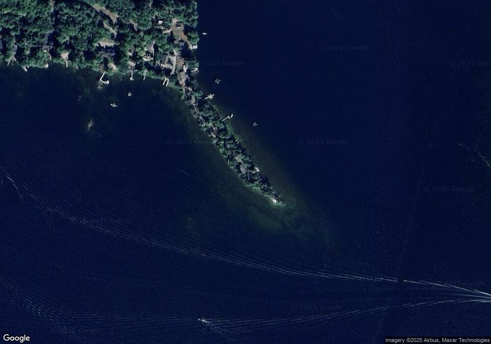
Map
Nearby Homes
- 4 Cummings Cove Rd
- 11 Quimby Rd
- Lot 21 Cummings Cove Rd
- 616 Scenic Rd Unit 404
- 598 Scenic Rd Unit 2
- 37
- 45 Stern Castle Place Unit 32
- 43 Happy Homes Rd
- 38 Stern Castle Place Unit 30
- 44 Centenary Ave
- 175 Akwa Vista
- 6 Windjammer's Ridge
- 63 Commanders Helm
- 34 Deadreckoning Point
- 23 Deadreckoning Point
- 59 Treetop Cir Unit 34
- 8 Deadreckoning Point
- 126 Soleil Mountain
- 53 Broadview Dr Unit 2
- 36 Vantage Point Dr Unit 4
- 20 Lighthouse Point Rd
- 16 Lighthouse Point Rd
- 10 Lighthouse Point Rd
- 8 Lighthouse Point Rd
- 3 Lighthouse Point Rd
- 4 Lighthouse Point Rd
- 95 Spindle Point Rd
- 36 Observatory Rd
- 93 Spindle Point Rd
- 34 Observatory Rd
- 91 Spindle Point Rd
- 32 Observatory Rd
- 30 Observatory Rd
- 87 Spindle Point Rd
- 85 Spindle Point Rd
- 28 Observatory Rd
- 83 Spindle Point Rd
- 26 Observatory Rd
- 81 Spindle Point Rd
- 79 Spindle Point Rd
Your Personal Tour Guide
Ask me questions while you tour the home.