Estimated Value: $1,930,578
--
Bed
--
Bath
12,814
Sq Ft
$151/Sq Ft
Est. Value
About This Home
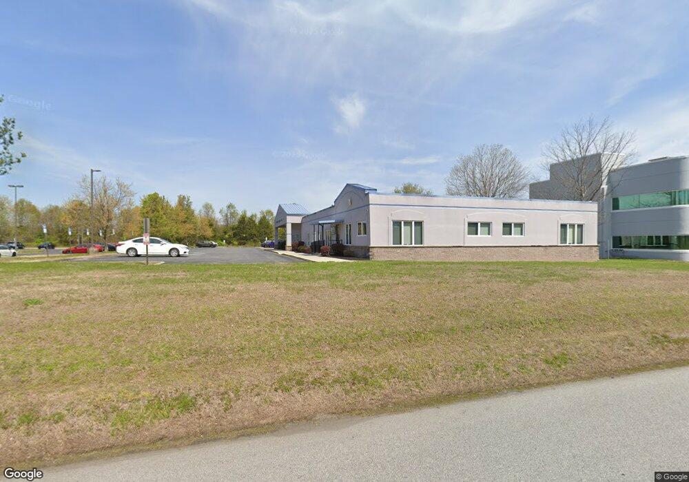
This home is located at 22 Old Rudnick Ln, Dover, DE 19901 and is currently estimated at $1,930,578, approximately $150 per square foot. 22 Old Rudnick Ln is a home located in Kent County with nearby schools including W. Reily Brown Elementary School, Fred Fifer Middle School, and Caesar Rodney High School.
Ownership History
Date
Name
Owned For
Owner Type
Purchase Details
Closed on
May 19, 2014
Sold by
Bengzon Adolfo Q and Bengzon Honorata M
Bought by
Sisyphus Realty Llc
Current Estimated Value
Home Financials for this Owner
Home Financials are based on the most recent Mortgage that was taken out on this home.
Original Mortgage
$769,250
Outstanding Balance
$584,720
Interest Rate
4.26%
Mortgage Type
Commercial
Estimated Equity
$1,345,858
Purchase Details
Closed on
May 30, 2004
Bought by
Sisyphus Realty Llc and Bengzon Adolfo Q
Create a Home Valuation Report for This Property
The Home Valuation Report is an in-depth analysis detailing your home's value as well as a comparison with similar homes in the area
Home Values in the Area
Average Home Value in this Area
Purchase History
| Date | Buyer | Sale Price | Title Company |
|---|---|---|---|
| Sisyphus Realty Llc | $905,000 | None Available | |
| Sisyphus Realty Llc | $905,000 | -- |
Source: Public Records
Mortgage History
| Date | Status | Borrower | Loan Amount |
|---|---|---|---|
| Open | Sisyphus Realty Llc | $769,250 |
Source: Public Records
Tax History Compared to Growth
Tax History
| Year | Tax Paid | Tax Assessment Tax Assessment Total Assessment is a certain percentage of the fair market value that is determined by local assessors to be the total taxable value of land and additions on the property. | Land | Improvement |
|---|---|---|---|---|
| 2025 | $3,553 | $911,300 | $194,800 | $716,500 |
| 2024 | $3,553 | $911,300 | $194,800 | $716,500 |
| 2023 | $9,365 | $375,500 | $17,300 | $358,200 |
| 2022 | $8,831 | $375,500 | $17,300 | $358,200 |
| 2021 | $8,757 | $375,500 | $17,300 | $358,200 |
| 2020 | $8,609 | $375,500 | $17,300 | $358,200 |
| 2019 | $8,260 | $375,500 | $17,300 | $358,200 |
| 2018 | $7,957 | $375,500 | $17,300 | $358,200 |
| 2017 | $7,725 | $375,500 | $0 | $0 |
| 2016 | $7,560 | $375,500 | $0 | $0 |
| 2015 | $6,295 | $375,500 | $0 | $0 |
| 2014 | $6,279 | $375,500 | $0 | $0 |
Source: Public Records
Map
Nearby Homes
- 127 Saxton Rd
- 12 Lots Wolf Creek Cir
- 135 Woodbrook Rd
- 43 Wayne Dr
- 97 Glenda Rd
- 1194 Deats Dr
- 1466 S Governors Ave
- 89 S Shore Dr
- 111 Gunning Bedford Dr
- 100 S Shore Dr
- 1524 Joshua Clayton Rd
- 1111 Monroe Terrace
- 384 Post Blvd
- 229 S Governors Ave
- 19 Roosevelt Ave
- 1679 S State St Unit A55
- 1679 S State St Unit A48
- 226 Wyoming Ave
- 914 S State St
- 648 Kentland Ave