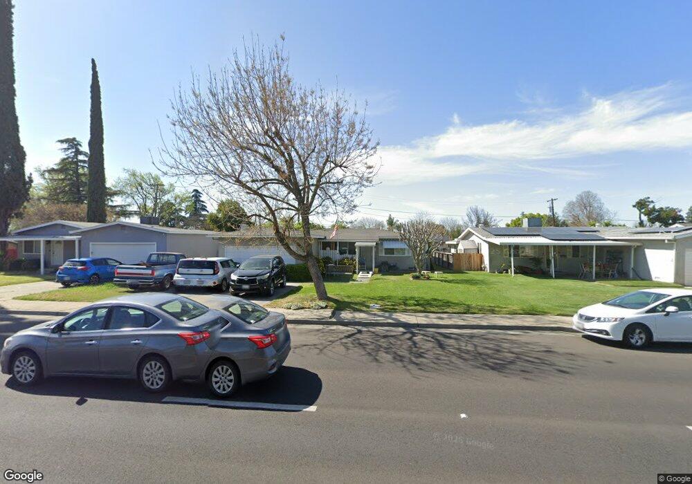
2217 1st St Atwater, CA 95301
Estimated Value: $332,000 - $371,000
3
Beds
2
Baths
1,507
Sq Ft
$235/Sq Ft
Est. Value
About This Home
This home is located at 2217 1st St, Atwater, CA 95301 and is currently estimated at $353,815, approximately $234 per square foot. 2217 1st St is a home located in Merced County with nearby schools including Elmer Wood Elementary School, Mitchell Intermediate School, and Atwater High School.
Ownership History
Date
Name
Owned For
Owner Type
Purchase Details
Closed on
Jul 27, 2010
Sold by
Duncan Bradley S
Bought by
Duncan Bradley Stephen and Duncan Kathleen Margaret
Current Estimated Value
Home Financials for this Owner
Home Financials are based on the most recent Mortgage that was taken out on this home.
Original Mortgage
$70,000
Interest Rate
4.71%
Mortgage Type
New Conventional
Purchase Details
Closed on
Apr 9, 2010
Sold by
Duncan Gary D
Bought by
Duncan Bradley S
Create a Home Valuation Report for This Property
The Home Valuation Report is an in-depth analysis detailing your home's value as well as a comparison with similar homes in the area
Home Values in the Area
Average Home Value in this Area
Purchase History
| Date | Buyer | Sale Price | Title Company |
|---|---|---|---|
| Duncan Bradley Stephen | -- | Transcounty Title Company | |
| Duncan Bradley S | -- | Transcounty Title Company |
Source: Public Records
Mortgage History
| Date | Status | Borrower | Loan Amount |
|---|---|---|---|
| Closed | Duncan Bradley Stephen | $70,000 |
Source: Public Records
Tax History
| Year | Tax Paid | Tax Assessment Tax Assessment Total Assessment is a certain percentage of the fair market value that is determined by local assessors to be the total taxable value of land and additions on the property. | Land | Improvement |
|---|---|---|---|---|
| 2025 | $575 | $59,359 | $10,316 | $49,043 |
| 2024 | $575 | $58,196 | $10,114 | $48,082 |
| 2023 | $559 | $57,056 | $9,916 | $47,140 |
| 2022 | $550 | $55,938 | $9,722 | $46,216 |
| 2021 | $549 | $54,842 | $9,532 | $45,310 |
| 2020 | $541 | $54,281 | $9,435 | $44,846 |
| 2019 | $517 | $53,217 | $9,250 | $43,967 |
| 2018 | $501 | $52,174 | $9,069 | $43,105 |
| 2017 | $494 | $51,152 | $8,892 | $42,260 |
| 2016 | $485 | $50,150 | $8,718 | $41,432 |
| 2015 | $478 | $49,398 | $8,588 | $40,810 |
| 2014 | $466 | $48,431 | $8,420 | $40,011 |
Source: Public Records
Map
Nearby Homes
- 2246 First St
- 2310 Linden St
- 1160 Oak Ave
- 1739 1st St
- 1739 First St
- 0 Redwood Ave Unit 225133534
- 0 Redwood Ave Unit MC25237349
- 1485 Mulberry Ave
- 1510 High St
- 1527 Underwood Ave
- 1789 Cottonwood Ave
- 190 Manzanita Dr
- 2631 7th St
- 2848 Wathen St
- 1241 Broadway Ave
- 1675 Almador Terrace
- 1241 6th St
- 401 Cedar Ave
- 2900 Muir Ave Unit 85
- 1311 Winton Way
Your Personal Tour Guide
Ask me questions while you tour the home.