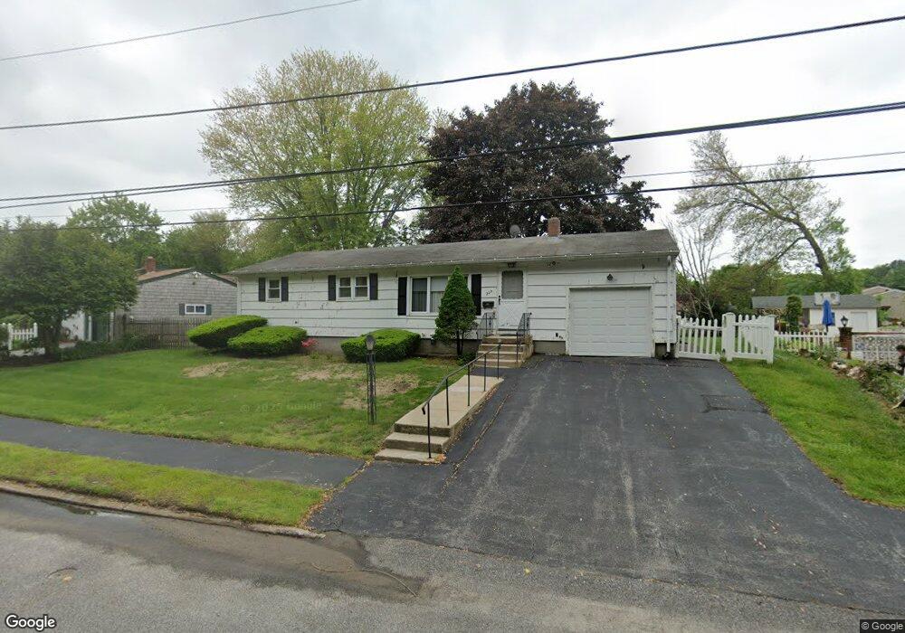
225 Stony Acre Dr Cranston, RI 02920
Thornton NeighborhoodEstimated Value: $412,000 - $455,000
3
Beds
2
Baths
1,092
Sq Ft
$403/Sq Ft
Est. Value
About This Home
This home is located at 225 Stony Acre Dr, Cranston, RI 02920 and is currently estimated at $440,348, approximately $403 per square foot. 225 Stony Acre Dr is a home located in Providence County with nearby schools including Stone Hill School, Western Hills Middle School, and Cranston High School West.
Ownership History
Date
Name
Owned For
Owner Type
Purchase Details
Closed on
Jul 9, 2024
Sold by
Motta Richard D
Bought by
Madonna William
Current Estimated Value
Purchase Details
Closed on
Jul 2, 2024
Sold by
Motta Irt and Motta
Bought by
Motta Irt and Motta
Purchase Details
Closed on
Aug 8, 2012
Sold by
Motta Bernard A
Bought by
Motta Irt and Motta
Create a Home Valuation Report for This Property
The Home Valuation Report is an in-depth analysis detailing your home's value as well as a comparison with similar homes in the area
Home Values in the Area
Average Home Value in this Area
Purchase History
| Date | Buyer | Sale Price | Title Company |
|---|---|---|---|
| Madonna William | -- | None Available | |
| Madonna William | -- | None Available | |
| Motta Irt | -- | None Available | |
| Motta Irt | -- | None Available | |
| Motta Irt | -- | -- | |
| Motta Irt | -- | -- |
Source: Public Records
Mortgage History
| Date | Status | Borrower | Loan Amount |
|---|---|---|---|
| Previous Owner | Motta Irt | $50,000 |
Source: Public Records
Tax History Compared to Growth
Tax History
| Year | Tax Paid | Tax Assessment Tax Assessment Total Assessment is a certain percentage of the fair market value that is determined by local assessors to be the total taxable value of land and additions on the property. | Land | Improvement |
|---|---|---|---|---|
| 2025 | $4,758 | $342,800 | $131,300 | $211,500 |
| 2024 | $4,666 | $342,800 | $131,300 | $211,500 |
| 2023 | $4,717 | $249,600 | $94,400 | $155,200 |
| 2022 | $4,620 | $249,600 | $94,400 | $155,200 |
| 2021 | $4,493 | $249,600 | $94,400 | $155,200 |
| 2020 | $4,403 | $212,000 | $94,400 | $117,600 |
| 2019 | $4,403 | $212,000 | $94,400 | $117,600 |
| 2018 | $4,301 | $212,000 | $94,400 | $117,600 |
| 2017 | $4,019 | $175,200 | $75,500 | $99,700 |
| 2016 | $3,933 | $175,200 | $75,500 | $99,700 |
| 2015 | $3,933 | $175,200 | $75,500 | $99,700 |
| 2014 | $3,890 | $170,300 | $75,500 | $94,800 |
Source: Public Records
Map
Nearby Homes
- 134 Lake Garden Dr
- 20 Wild Berry Dr
- 51 Stone Dr
- 11 Red Robin Rd
- 17 Woodview Dr
- 435 Scituate Ave
- 118 Westfield Dr
- 41 Yeoman Ave
- 25 Loomis St
- 26 Scituate Farms Dr
- 26 Rachela St
- 91 Curry Rd
- 1448 Plainfield Pike
- 1603 Plainfield Pike Unit D5
- 1603 Plainfield Pike Unit E2
- 95 Amy Dr
- 50 Tacoma St
- 93 Elena St
- 9 Baker St
- 105 Amy Dr