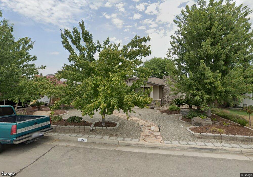
227 Cherry Ln Clovis, CA 93612
Estimated Value: $353,295 - $548,000
2
Beds
2
Baths
1,446
Sq Ft
$290/Sq Ft
Est. Value
About This Home
This home is located at 227 Cherry Ln, Clovis, CA 93612 and is currently estimated at $419,098, approximately $289 per square foot. 227 Cherry Ln is a home located in Fresno County with nearby schools including Weldon Elementary School, Clark Intermediate School, and Clovis High School.
Ownership History
Date
Name
Owned For
Owner Type
Purchase Details
Closed on
Oct 29, 2007
Sold by
Bryson Lee Roy and Bryson Donna Lynn
Bought by
Bryson Lee Roy and Bryson Donna Lynn
Current Estimated Value
Purchase Details
Closed on
May 1, 2002
Sold by
Clem Deanna Ruth and Smith Barbara Jean
Bought by
Bryson Lee Roy and Bryson Donna Lynn
Purchase Details
Closed on
Sep 2, 1997
Sold by
Bryson Claudie O
Bought by
Bryson Claudie O and Bryson Lee Roy
Purchase Details
Closed on
Jul 23, 1997
Sold by
Bryson Claudie O
Bought by
Bryson Claudie O
Create a Home Valuation Report for This Property
The Home Valuation Report is an in-depth analysis detailing your home's value as well as a comparison with similar homes in the area
Home Values in the Area
Average Home Value in this Area
Purchase History
| Date | Buyer | Sale Price | Title Company |
|---|---|---|---|
| Bryson Lee Roy | -- | None Available | |
| Bryson Lee Roy | -- | Stewart Title Of Ca Inc | |
| Bryson Lee Roy | -- | Stewart Title Of Ca Inc | |
| Bryson Lee Roy | -- | Stewart Title Of Ca Inc | |
| Bryson Lee Roy | -- | Stewart Title Of Ca Inc | |
| Bryson Lee Roy | -- | Stewart Title Of Ca Inc | |
| Bryson Claudie O | -- | -- | |
| Bryson Claudie O | -- | -- |
Source: Public Records
Tax History
| Year | Tax Paid | Tax Assessment Tax Assessment Total Assessment is a certain percentage of the fair market value that is determined by local assessors to be the total taxable value of land and additions on the property. | Land | Improvement |
|---|---|---|---|---|
| 2025 | $1,562 | $137,518 | $44,306 | $93,212 |
| 2023 | $1,501 | $132,181 | $42,587 | $89,594 |
| 2022 | $1,479 | $129,590 | $41,752 | $87,838 |
| 2021 | $1,437 | $127,050 | $40,934 | $86,116 |
| 2020 | $1,430 | $125,748 | $40,515 | $85,233 |
| 2019 | $1,402 | $123,283 | $39,721 | $83,562 |
| 2018 | $1,370 | $120,867 | $38,943 | $81,924 |
| 2017 | $1,345 | $118,498 | $38,180 | $80,318 |
| 2016 | $1,299 | $116,176 | $37,432 | $78,744 |
| 2015 | $1,278 | $114,432 | $36,870 | $77,562 |
| 2014 | $1,253 | $112,191 | $36,148 | $76,043 |
Source: Public Records
Map
Nearby Homes
- 1234 No Address Available
- 142 9th St
- 474 W Windsor Ave
- 103 Poppy Ln
- 288 W Magill Ave
- 345 Sylmar Ave
- 134 10th St
- 131 N Terry Ave
- 351 N Peach Ave
- 560 W Stuart Ave
- 1001 Sylmar Ave Unit 3
- 1001 Sylmar Ave Unit 131
- 1001 Sylmar Ave Unit 99
- 1001 Sylmar Ave Unit 100
- 1001 Sylmar Ave Unit 126
- 1001 Sylmar Ave Unit 155
- 1001 Sylmar Ave
- 445 Quill Ln
- 595 Quill Ln
- 1272 Bullard Ave
Your Personal Tour Guide
Ask me questions while you tour the home.