23 Plumtree Rd Sunderland, MA 01375
Estimated Value: $1,715,937
Studio
4
Baths
11,971
Sq Ft
$143/Sq Ft
Est. Value
About This Home
This home is located at 23 Plumtree Rd, Sunderland, MA 01375 and is currently estimated at $1,715,937, approximately $143 per square foot. 23 Plumtree Rd is a home located in Franklin County with nearby schools including Sunderland Elementary School and Frontier Regional School.
Ownership History
Date
Name
Owned For
Owner Type
Purchase Details
Closed on
Apr 7, 2017
Sold by
Sinauer Llc
Bought by
Chancellor Masters & Sch
Current Estimated Value
Create a Home Valuation Report for This Property
The Home Valuation Report is an in-depth analysis detailing your home's value as well as a comparison with similar homes in the area
Home Values in the Area
Average Home Value in this Area
Purchase History
| Date | Buyer | Sale Price | Title Company |
|---|---|---|---|
| Chancellor Masters & Sch | $1,000,000 | -- |
Source: Public Records
Tax History
| Year | Tax Paid | Tax Assessment Tax Assessment Total Assessment is a certain percentage of the fair market value that is determined by local assessors to be the total taxable value of land and additions on the property. | Land | Improvement |
|---|---|---|---|---|
| 2025 | $16,046 | $1,232,400 | $264,600 | $967,800 |
| 2024 | $16,194 | $1,232,400 | $264,600 | $967,800 |
| 2023 | $14,816 | $1,157,500 | $240,500 | $917,000 |
| 2022 | $14,798 | $1,006,700 | $208,400 | $798,300 |
| 2021 | $15,594 | $1,006,700 | $208,400 | $798,300 |
| 2020 | $12,326 | $798,300 | $0 | $798,300 |
| 2019 | $15,241 | $994,200 | $212,400 | $781,800 |
| 2018 | $14,702 | $980,100 | $212,400 | $767,700 |
| 2017 | $13,362 | $931,800 | $212,400 | $719,400 |
| 2016 | $13,176 | $898,800 | $209,000 | $689,800 |
| 2015 | $12,862 | $898,800 | $209,000 | $689,800 |
| 2014 | $12,565 | $898,800 | $209,000 | $689,800 |
Source: Public Records
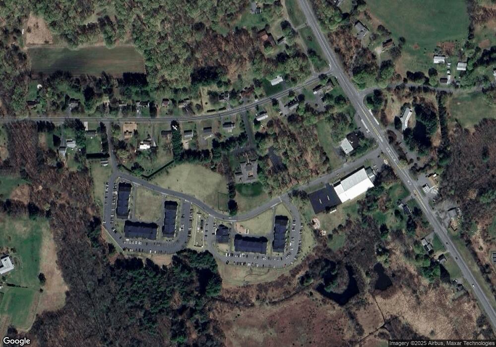
Map
Nearby Homes
- 15 S Plain Rd
- 8 Aloha Dr
- 3 Frost Ln
- 10 Depot Rd
- 113 Juggler Meadow Rd
- 208 Pine St Unit 53
- 208 Rolling Ridge Rd
- 12 Teawaddle Ln
- 167 Rolling Ridge Rd
- 100 Depot Rd
- Lot A Kingman Rd
- 185 Cherry Ln
- Lot 3 Roosevelt St
- 27 January Hills Rd
- 35 Weatherwood Rd
- Lot A January Hills Rd
- 50 Mount Pleasant
- 14 Hawley Rd
- 0 Red Gate Ln Unit 73348273
- 174 Lincoln Ave
- 25 Plumtree Rd
- 29 Plumtree Rd
- 19 Plumtree Rd
- 35 Plumtree Rd
- 653 Amherst Rd
- 20 Plumtree Rd
- 11 Plumtree Rd
- 28 Plumtree Rd
- 39 Plumtree Rd
- 36 Plumtree Rd
- 12 Plumtree Rd
- 9 Plumtree Rd
- 10 Plumtree Rd
- 45 Plumtree Rd
- 659 Amherst Rd
- 42 Plumtree Rd
- 3 Plumtree Rd
- 3 Plumtree Rd Unit 2
- 4 Plumtree Rd
- 46 Plumtree Rd
Your Personal Tour Guide
Ask me questions while you tour the home.