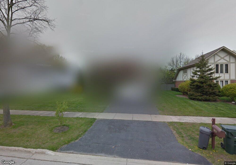
230 Carter Ct Northbrook, IL 60062
Estimated Value: $818,000 - $950,000
4
Beds
3
Baths
2,566
Sq Ft
$337/Sq Ft
Est. Value
About This Home
This home is located at 230 Carter Ct, Northbrook, IL 60062 and is currently estimated at $864,401, approximately $336 per square foot. 230 Carter Ct is a home located in Cook County with nearby schools including Middlefork Primary School, Sunset Ridge Elementary School, and New Trier Township High School - Northfield.
Ownership History
Date
Name
Owned For
Owner Type
Purchase Details
Closed on
Nov 13, 2023
Sold by
Choi Soomin and Choi Young S
Bought by
Soomin Choi And Young S Choi Revocable Living and Choi
Current Estimated Value
Purchase Details
Closed on
Dec 14, 1993
Sold by
Yoon Maruja and Yoon Arnold K
Bought by
Choi Soomin and Choi Young S
Home Financials for this Owner
Home Financials are based on the most recent Mortgage that was taken out on this home.
Original Mortgage
$110,000
Interest Rate
7.15%
Create a Home Valuation Report for This Property
The Home Valuation Report is an in-depth analysis detailing your home's value as well as a comparison with similar homes in the area
Home Values in the Area
Average Home Value in this Area
Purchase History
| Date | Buyer | Sale Price | Title Company |
|---|---|---|---|
| Soomin Choi And Young S Choi Revocable Living | -- | None Listed On Document | |
| Choi Soomin | $188,000 | -- |
Source: Public Records
Mortgage History
| Date | Status | Borrower | Loan Amount |
|---|---|---|---|
| Previous Owner | Choi Soomin | $110,000 |
Source: Public Records
Tax History Compared to Growth
Tax History
| Year | Tax Paid | Tax Assessment Tax Assessment Total Assessment is a certain percentage of the fair market value that is determined by local assessors to be the total taxable value of land and additions on the property. | Land | Improvement |
|---|---|---|---|---|
| 2024 | $12,195 | $63,001 | $8,438 | $54,563 |
| 2023 | $11,610 | $63,001 | $8,438 | $54,563 |
| 2022 | $11,610 | $63,001 | $8,438 | $54,563 |
| 2021 | $9,127 | $43,799 | $10,781 | $33,018 |
| 2020 | $9,054 | $43,799 | $10,781 | $33,018 |
| 2019 | $8,921 | $48,131 | $10,781 | $37,350 |
| 2018 | $11,116 | $55,999 | $9,375 | $46,624 |
| 2017 | $11,392 | $55,999 | $9,375 | $46,624 |
| 2016 | $12,409 | $63,625 | $9,375 | $54,250 |
| 2015 | $11,378 | $53,637 | $7,500 | $46,137 |
| 2014 | $11,108 | $53,637 | $7,500 | $46,137 |
| 2013 | $10,648 | $53,637 | $7,500 | $46,137 |
Source: Public Records
Map
Nearby Homes
- 350 Sunset Ct
- 650 Midfield Ln
- 24 Bridlewood Rd
- 857 Country Club Ln
- 34 Bridlewood Rd
- 1022 Whitfield Rd
- 759 Strawberry Hill Dr
- 746 Woodridge Ln
- 823 Balmoral Ln
- 908 Dell Rd
- 2050 Meadowview Ct
- 828 Dell Rd
- 2202 Martin Ln
- 1135 Buttonwood Ln
- 767 Ivy Ln
- 628 Happ Rd
- 1425 Lee Rd
- 908 Elm Place
- 937 Bromley Place Unit 12B4
- 970 Kensington Dr Unit 16B2