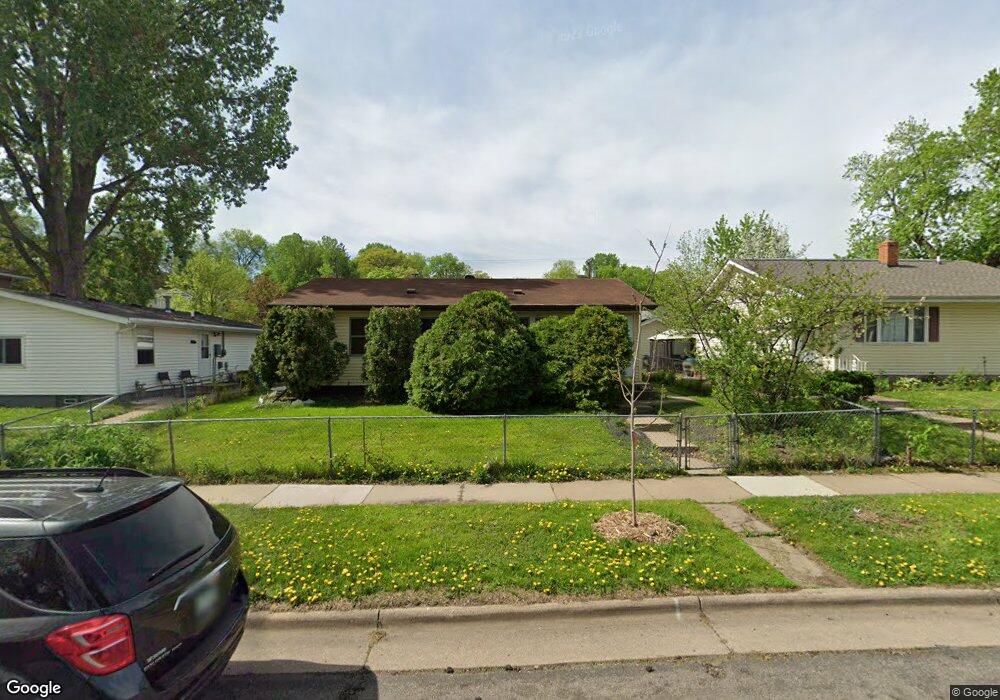
234 Robie St E Saint Paul, MN 55107
West Side NeighborhoodEstimated Value: $231,000 - $270,000
3
Beds
1
Bath
912
Sq Ft
$276/Sq Ft
Est. Value
About This Home
This home is located at 234 Robie St E, Saint Paul, MN 55107 and is currently estimated at $251,834, approximately $276 per square foot. 234 Robie St E is a home located in Ramsey County with nearby schools including Riverview West Side School of Excellence, Cherokee Heights Elementary School, and Humboldt Secondary School.
Ownership History
Date
Name
Owned For
Owner Type
Purchase Details
Closed on
Feb 7, 2023
Sold by
Marfori Oscar and Marfori Evangeline
Bought by
Marfori Oscar
Current Estimated Value
Home Financials for this Owner
Home Financials are based on the most recent Mortgage that was taken out on this home.
Original Mortgage
$154,400
Outstanding Balance
$149,503
Interest Rate
6.27%
Mortgage Type
New Conventional
Estimated Equity
$102,331
Create a Home Valuation Report for This Property
The Home Valuation Report is an in-depth analysis detailing your home's value as well as a comparison with similar homes in the area
Home Values in the Area
Average Home Value in this Area
Purchase History
| Date | Buyer | Sale Price | Title Company |
|---|---|---|---|
| Marfori Oscar | $193,000 | -- |
Source: Public Records
Mortgage History
| Date | Status | Borrower | Loan Amount |
|---|---|---|---|
| Open | Marfori Oscar | $154,400 |
Source: Public Records
Tax History Compared to Growth
Tax History
| Year | Tax Paid | Tax Assessment Tax Assessment Total Assessment is a certain percentage of the fair market value that is determined by local assessors to be the total taxable value of land and additions on the property. | Land | Improvement |
|---|---|---|---|---|
| 2025 | $3,144 | $238,200 | $26,200 | $212,000 |
| 2024 | $3,144 | $220,100 | $26,200 | $193,900 |
| 2023 | $3,144 | $209,700 | $20,300 | $189,400 |
| 2022 | $2,704 | $187,000 | $20,300 | $166,700 |
| 2021 | $2,344 | $175,100 | $20,300 | $154,800 |
| 2020 | $2,370 | $158,700 | $20,300 | $138,400 |
| 2019 | $2,256 | $151,200 | $20,300 | $130,900 |
| 2018 | $2,078 | $143,100 | $20,300 | $122,800 |
| 2017 | $1,994 | $138,900 | $20,300 | $118,600 |
| 2016 | $1,868 | $0 | $0 | $0 |
| 2015 | $1,681 | $116,000 | $20,300 | $95,700 |
| 2014 | $1,976 | $0 | $0 | $0 |
Source: Public Records
Map
Nearby Homes
- 260 Winifred St E
- 273 Winifred St E
- 568 State St Unit A
- 303 Cesar Chavez St
- 435 Greenwood Ave
- 300 Baker St E
- 196 Baker St E
- 277 Morton St E
- 439 Clinton Ave
- 131 Delos St E
- 182 Morton St E
- 332 Morton St E
- 383 Clinton Ave
- 66 Stevens St E
- 234 Sidney St E
- 751 Woodbury St
- 293 Curtice St E
- 452 Page St E
- 369 Belvidere St E Unit 369B
- 767 Robert St S
- 236 Robie St E
- 228 Robie St E
- 228 228 Robie St E
- 517 Anita St
- 222 Robie St E
- 229 Cesar Chavez St
- 233 Cesar Chavez St
- 222 222 Robie St E
- 222 222 Robie-Street-e
- 227 Cesar Chavez St
- 218 Robie St E
- 533 Anita St
- 223 Cesar Chavez St
- 223 223 Cesar Chavez-Street-
- 233 Robie St E
- 235 Robie St E
- 225 Robie St E
- 214 Robie St E
- 219 Cesar Chavez St
- 223 Robie St E