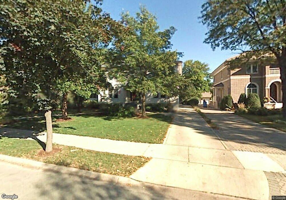
236 Shenstone Rd Riverside, IL 60546
Estimated Value: $824,000 - $1,162,000
4
Beds
3
Baths
4,314
Sq Ft
$229/Sq Ft
Est. Value
About This Home
This home is located at 236 Shenstone Rd, Riverside, IL 60546 and is currently estimated at $989,569, approximately $229 per square foot. 236 Shenstone Rd is a home with nearby schools including Central Elementary School, L J Hauser Jr High School, and Riverside Brookfield High School.
Ownership History
Date
Name
Owned For
Owner Type
Purchase Details
Closed on
Apr 25, 1997
Sold by
Mcdowell Donald J and Mcdowell Faylene
Bought by
Hejna Michael John and Hejna Michelle Marie
Current Estimated Value
Home Financials for this Owner
Home Financials are based on the most recent Mortgage that was taken out on this home.
Original Mortgage
$250,000
Interest Rate
7.92%
Create a Home Valuation Report for This Property
The Home Valuation Report is an in-depth analysis detailing your home's value as well as a comparison with similar homes in the area
Home Values in the Area
Average Home Value in this Area
Purchase History
| Date | Buyer | Sale Price | Title Company |
|---|---|---|---|
| Hejna Michael John | $418,500 | -- |
Source: Public Records
Mortgage History
| Date | Status | Borrower | Loan Amount |
|---|---|---|---|
| Closed | Hejna Michael John | $250,000 |
Source: Public Records
Tax History
| Year | Tax Paid | Tax Assessment Tax Assessment Total Assessment is a certain percentage of the fair market value that is determined by local assessors to be the total taxable value of land and additions on the property. | Land | Improvement |
|---|---|---|---|---|
| 2025 | $26,131 | $85,000 | $16,474 | $68,526 |
| 2024 | $26,131 | $85,000 | $16,474 | $68,526 |
| 2023 | $24,206 | $85,000 | $16,474 | $68,526 |
| 2022 | $24,206 | $66,615 | $14,227 | $52,388 |
| 2021 | $23,291 | $66,615 | $14,227 | $52,388 |
| 2020 | $22,610 | $66,615 | $14,227 | $52,388 |
| 2019 | $25,898 | $77,010 | $13,104 | $63,906 |
| 2018 | $25,135 | $77,010 | $13,104 | $63,906 |
| 2017 | $24,340 | $77,010 | $13,104 | $63,906 |
| 2016 | $23,170 | $68,289 | $11,232 | $57,057 |
| 2015 | $22,596 | $68,289 | $11,232 | $57,057 |
| 2014 | $22,227 | $68,289 | $11,232 | $57,057 |
| 2013 | $16,073 | $54,149 | $10,483 | $43,666 |
Source: Public Records
Map
Nearby Homes
- 269 Shenstone Rd
- 231 Bartram Rd
- 369 Addison Rd
- 10 E Burlington St Unit 2C
- 10 E Burlington St Unit 2B
- 315 Bartram Rd
- 101 Southcote Rd
- 475 Shenstone Rd Unit 104
- 475 Shenstone Rd Unit 304
- 475 Shenstone Rd Unit 303
- 305 Desplaines Ave
- 484 Shenstone Rd
- 478 Kent Rd
- 220 Maplewood Rd
- 410 Repton Rd
- 236 Maplewood Rd
- 78 Pine Ave
- 367 Bartram Rd
- 176 Riverside Rd
- 280 Blackhawk Rd
- 240 Shenstone Rd
- 240 Shenstone Rd
- 228 Shenstone Rd
- 248 Shenstone Rd
- 247 Shenstone Rd
- 225 Longcommon Rd
- 235 Longcommon Rd
- 235 Shenstone Rd
- 239 Longcommon Rd
- 252 Shenstone Rd
- 243 Longcommon Rd
- 227 Shenstone Rd
- 256 Shenstone Rd
- 221 Shenstone Rd
- 251 Longcommon Rd
- 260 Shenstone Rd
- 219 Shenstone Rd
- 213 N Delaplaine Rd
- 264 Shenstone Rd
- 255 Longcommon Rd
Your Personal Tour Guide
Ask me questions while you tour the home.