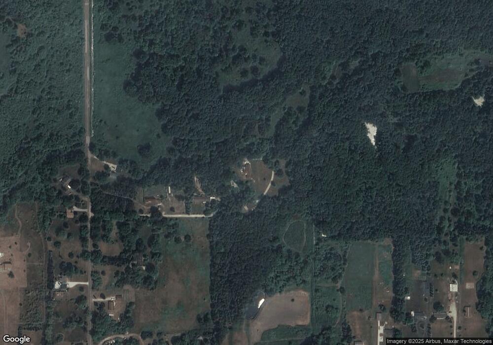
2411 Gale Rd Eaton Rapids, MI 48827
Estimated Value: $292,000 - $446,665
3
Beds
3
Baths
1,675
Sq Ft
$210/Sq Ft
Est. Value
About This Home
This home is located at 2411 Gale Rd, Eaton Rapids, MI 48827 and is currently estimated at $352,416, approximately $210 per square foot. 2411 Gale Rd is a home located in Ingham County with nearby schools including Lockwood Elementary School, Greyhound Intermediate School, and Eaton Rapids Middle School.
Ownership History
Date
Name
Owned For
Owner Type
Purchase Details
Closed on
Jan 4, 2002
Sold by
Wilson Harry G and Wilson Vera Lee M
Bought by
Hawkins Gerry L and Hawkins Tammy L
Current Estimated Value
Home Financials for this Owner
Home Financials are based on the most recent Mortgage that was taken out on this home.
Original Mortgage
$149,600
Outstanding Balance
$59,304
Interest Rate
6.62%
Estimated Equity
$293,112
Create a Home Valuation Report for This Property
The Home Valuation Report is an in-depth analysis detailing your home's value as well as a comparison with similar homes in the area
Home Values in the Area
Average Home Value in this Area
Purchase History
| Date | Buyer | Sale Price | Title Company |
|---|---|---|---|
| Hawkins Gerry L | $187,000 | Midstate Title Company |
Source: Public Records
Mortgage History
| Date | Status | Borrower | Loan Amount |
|---|---|---|---|
| Open | Hawkins Gerry L | $149,600 |
Source: Public Records
Tax History Compared to Growth
Tax History
| Year | Tax Paid | Tax Assessment Tax Assessment Total Assessment is a certain percentage of the fair market value that is determined by local assessors to be the total taxable value of land and additions on the property. | Land | Improvement |
|---|---|---|---|---|
| 2025 | $5,984 | $209,100 | $28,000 | $181,100 |
| 2024 | $21 | $199,300 | $27,400 | $171,900 |
| 2023 | $5,399 | $182,400 | $17,900 | $164,500 |
| 2022 | $5,102 | $150,600 | $24,000 | $126,600 |
| 2021 | $5,146 | $153,700 | $0 | $153,700 |
| 2020 | $3,724 | $144,100 | $18,500 | $125,600 |
| 2019 | $4,044 | $156,400 | $23,500 | $132,900 |
| 2018 | $1,076 | $98,800 | $23,500 | $75,300 |
| 2017 | $2,972 | $98,800 | $23,500 | $75,300 |
| 2016 | -- | $93,800 | $23,500 | $70,300 |
| 2015 | -- | $90,900 | $47,000 | $43,900 |
| 2014 | -- | $86,400 | $47,000 | $39,400 |
Source: Public Records
Map
Nearby Homes
- S Gale Rd
- Vl Gale Rd
- 6042 W Plains Rd
- 2093 Gale Rd
- 5906 W Barnes Rd
- 2391 S Onondaga Rd
- 2475 S Onondaga Rd
- 0 Ferris Unit 290887
- 2511 Gould Rd
- 10802 Plains Rd
- 4662 W Barnes Rd
- 2318 Arch Rd
- Parcel 4 Oakridge Dr
- Parcel 1 Oakridge Dr
- 1953 S Aurelius Rd
- 2787 Aurelius Rd
- 3020 Aurelius Rd
- 757 Island Ct Unit C
- 5895 Plains Rd
- 776 Saint Andrews Dr
- 2407 Gale Rd
- 2405 Gale Rd
- 2345 Gale Rd
- Vl (South Parcel) Gale Rd
- 2431 Gale Rd
- 2421 Gale Rd
- Vl Gale (North Parcel) Rd
- 2436 Gale Rd
- 5922 W Plains Rd
- 2453 Gale Rd
- 5940 Plains Rd
- 5904 Plains Rd
- 5870 Plains Rd
- 2448 Gale Rd
- 5820 W Plains Rd
- 5800 W Plains Rd
- V/L Plains Rd Parcel B-2
- 6008 W Plains Rd
- 5790 W Plains Rd
- 6058 Plains Rd
