24650 State Highway 248 Aurora, MO 65605
Estimated Value: $252,000 - $356,000
3
Beds
2
Baths
2,761
Sq Ft
$113/Sq Ft
Est. Value
About This Home
This home is located at 24650 State Highway 248, Aurora, MO 65605 and is currently estimated at $313,333, approximately $113 per square foot. 24650 State Highway 248 is a home with nearby schools including Eunice Thomas Elementary School, Cassville Intermediate School, and Cassville Middle School.
Ownership History
Date
Name
Owned For
Owner Type
Purchase Details
Closed on
Jun 12, 2013
Sold by
Wilson Kenneth and Wilson Vivian
Bought by
Wilson Brian
Current Estimated Value
Home Financials for this Owner
Home Financials are based on the most recent Mortgage that was taken out on this home.
Original Mortgage
$101,000
Interest Rate
3.54%
Mortgage Type
New Conventional
Purchase Details
Closed on
Apr 29, 2013
Sold by
Wilson Destiny K
Bought by
Wilson Bryan
Home Financials for this Owner
Home Financials are based on the most recent Mortgage that was taken out on this home.
Original Mortgage
$101,000
Interest Rate
3.54%
Mortgage Type
New Conventional
Create a Home Valuation Report for This Property
The Home Valuation Report is an in-depth analysis detailing your home's value as well as a comparison with similar homes in the area
Home Values in the Area
Average Home Value in this Area
Purchase History
| Date | Buyer | Sale Price | Title Company |
|---|---|---|---|
| Wilson Brian | -- | Bcat | |
| Wilson Bryan | -- | Bcat |
Source: Public Records
Mortgage History
| Date | Status | Borrower | Loan Amount |
|---|---|---|---|
| Closed | Wilson Brian | $101,000 |
Source: Public Records
Tax History Compared to Growth
Tax History
| Year | Tax Paid | Tax Assessment Tax Assessment Total Assessment is a certain percentage of the fair market value that is determined by local assessors to be the total taxable value of land and additions on the property. | Land | Improvement |
|---|---|---|---|---|
| 2025 | $1,066 | $26,847 | $1,767 | $25,080 |
| 2024 | $1,066 | $24,643 | $1,767 | $22,876 |
| 2023 | $1,065 | $24,643 | $1,767 | $22,876 |
| 2022 | $1,055 | $24,415 | $1,539 | $22,876 |
| 2021 | $1,034 | $23,940 | $1,064 | $22,876 |
| 2020 | $1,034 | $23,826 | $1,064 | $22,762 |
| 2018 | $1,008 | $23,826 | $1,064 | $22,762 |
| 2017 | $979 | $23,180 | $1,064 | $22,116 |
| 2016 | $946 | $22,116 | $817 | $21,299 |
| 2015 | -- | $22,116 | $817 | $21,299 |
| 2014 | -- | $22,116 | $817 | $21,299 |
| 2012 | -- | $0 | $0 | $0 |
Source: Public Records
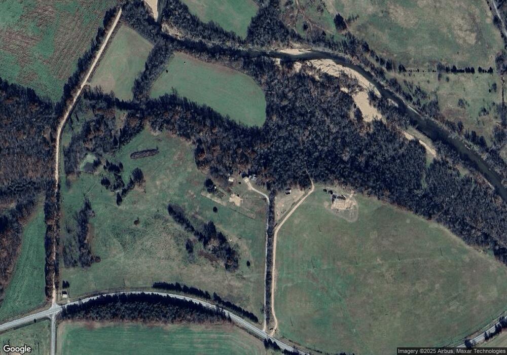
Map
Nearby Homes
- 000 State Highway 248-Tract 2
- 26252 State Highway 248
- 22275 State Highway 248
- 21814 State Hwy 248
- 24352 State Highway Ee
- 10463 Farm Road 1182
- 7776 State Highway 39
- 000 Farm Road 1245
- 000 Farm Road 1182
- 6535 Farm Road 1245
- Tbd Farm Rd 1190
- 000 Farm Road 1190
- 000 State Highway C
- 19358 Farm Road 2145
- 27255 Farm Road 2090
- 23211 Farm Road 2050
- 17984 State Highway 248
- Tract 1 Farm Road 1200
- 6034 Flat Creek Rd
- 4021 Flat Creek Rd
- 22768 State Highway 39
- 22768 State Highway 39
- FR Farm Road 1215
- 0 State Hwy 248 Unit 1079336
- 11432 State Highway 39
- 24027 St Hwy 248
- 24825 State Highway 248
- 24749 State Highway 248
- 4220 Farm Road 1090
- 10303 State Highway O
- 11364 State Highway 39
- 11116 State Highway 39
- 10955 State Highway 39
- 21323 Farm Road 2100
- 10222 State Highway O
- 11125 Farm Road 1060
- 10217 State Highway O
- 10217 State Highway O
- 25508 State Highway 248
- 11145 Farm Road 1215