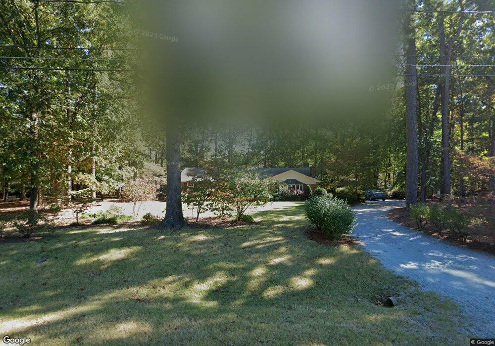
2521 Bonnie Brae Rd Durham, NC 27703
Estimated Value: $373,163 - $455,000
3
Beds
2
Baths
2,100
Sq Ft
$205/Sq Ft
Est. Value
About This Home
This home is located at 2521 Bonnie Brae Rd, Durham, NC 27703 and is currently estimated at $431,291, approximately $205 per square foot. 2521 Bonnie Brae Rd is a home located in Durham County with nearby schools including Bethesda Elementary School, John W Neal Middle School, and Southern School of Energy & Sustainability.
Ownership History
Date
Name
Owned For
Owner Type
Purchase Details
Closed on
Aug 14, 2018
Sold by
Martin R Lunsford
Bought by
Phipps Stephen and Phipps Christie
Current Estimated Value
Home Financials for this Owner
Home Financials are based on the most recent Mortgage that was taken out on this home.
Original Mortgage
$276,000
Outstanding Balance
$240,166
Interest Rate
4.59%
Estimated Equity
$191,125
Create a Home Valuation Report for This Property
The Home Valuation Report is an in-depth analysis detailing your home's value as well as a comparison with similar homes in the area
Home Values in the Area
Average Home Value in this Area
Purchase History
| Date | Buyer | Sale Price | Title Company |
|---|---|---|---|
| Phipps Stephen | -- | -- |
Source: Public Records
Mortgage History
| Date | Status | Borrower | Loan Amount |
|---|---|---|---|
| Open | Phipps Stephen | $276,000 | |
| Closed | Phipps Stephen | -- |
Source: Public Records
Tax History Compared to Growth
Tax History
| Year | Tax Paid | Tax Assessment Tax Assessment Total Assessment is a certain percentage of the fair market value that is determined by local assessors to be the total taxable value of land and additions on the property. | Land | Improvement |
|---|---|---|---|---|
| 2025 | $2,150 | $433,776 | $135,000 | $298,776 |
| 2024 | $1,342 | $192,451 | $36,020 | $156,431 |
| 2023 | $1,260 | $192,451 | $36,020 | $156,431 |
| 2022 | $1,232 | $192,451 | $36,020 | $156,431 |
| 2021 | $1,226 | $192,451 | $36,020 | $156,431 |
| 2020 | $1,197 | $192,451 | $36,020 | $156,431 |
| 2019 | $1,197 | $192,451 | $36,020 | $156,431 |
| 2018 | $1,288 | $189,871 | $40,522 | $149,349 |
| 2017 | $1,278 | $189,871 | $40,522 | $149,349 |
| 2016 | $1,235 | $189,871 | $40,522 | $149,349 |
| 2015 | $1,414 | $204,257 | $40,534 | $163,723 |
| 2014 | $1,414 | $204,257 | $40,534 | $163,723 |
Source: Public Records
Map
Nearby Homes
- 5014 Rolling Meadows Dr
- 3610 Long Ridge Rd
- 2701 Skybrook Ln
- 3602 Appling Way
- 2811 Skybrook Ln
- 2905 Scuppernong Ln
- 2013 Cedar Grove Dr
- 111 Lang St
- 2709 Hamilton Green Dr
- 4539 Cottendale Dr
- 910 Wood Chapel Ln
- 1018 Flyfish Ave
- 4613 Angier Ave
- 2910 Thoreau Dr
- 5411 Suda Dr
- 2228 Cedar Grove Dr
- 3019 Newfields Place
- 2214 Tw Alexander Dr
- 1107 Tigerlily Way
- 342 Westgrove Ct
- 2010 Carnation Dr
- 2525 Bonnie Brae Rd
- 2610 Oleander Dr
- 2006 Carnation Dr
- 262 Oleander Dr
- 2004 Carnation Dr
- 2612 Oleander Dr
- 2509 Bonnie Brae Rd
- 2603 Oleander Dr
- lot 0 Bonnie Brae Rd
- 3715 Bonnie Brae Rd
- 0 Bonnie Brae Rd
- 2601 Bonnie Brae Rd
- 2002 Carnation Dr
- 2510 Bonnie Brae Rd
- 2614 Oleander Dr
- 1918 Carnation Dr
- 2520 Bonnie Brae Rd
- 2516 Oleander Dr
- 2521 Oleander Dr