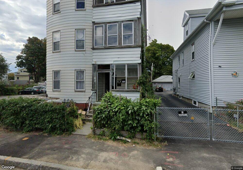
26 Douglas St Worcester, MA 01603
South Worcester NeighborhoodEstimated Value: $641,000 - $830,000
5
Beds
7
Baths
9,600
Sq Ft
$77/Sq Ft
Est. Value
About This Home
This home is located at 26 Douglas St, Worcester, MA 01603 and is currently estimated at $738,333, approximately $76 per square foot. 26 Douglas St is a home located in Worcester County with nearby schools including Jacob Hiatt Magnet School, Chandler Magnet, and University Park Campus School.
Ownership History
Date
Name
Owned For
Owner Type
Purchase Details
Closed on
Jul 29, 2003
Sold by
26 Douglas St Rt and Highgate Prop Land T L
Bought by
Douglas St Rt and Distefano
Current Estimated Value
Home Financials for this Owner
Home Financials are based on the most recent Mortgage that was taken out on this home.
Original Mortgage
$312,500
Outstanding Balance
$131,814
Interest Rate
5.27%
Mortgage Type
Purchase Money Mortgage
Estimated Equity
$606,519
Purchase Details
Closed on
Mar 12, 1999
Sold by
Anne Julia Rt 1994 and Gasparoni
Bought by
Johnson Stephen F and Johnson Linda M
Home Financials for this Owner
Home Financials are based on the most recent Mortgage that was taken out on this home.
Original Mortgage
$39,800
Interest Rate
6.73%
Mortgage Type
Purchase Money Mortgage
Create a Home Valuation Report for This Property
The Home Valuation Report is an in-depth analysis detailing your home's value as well as a comparison with similar homes in the area
Home Values in the Area
Average Home Value in this Area
Purchase History
| Date | Buyer | Sale Price | Title Company |
|---|---|---|---|
| Douglas St Rt | $187,500 | -- | |
| Johnson Stephen F | $56,900 | -- |
Source: Public Records
Mortgage History
| Date | Status | Borrower | Loan Amount |
|---|---|---|---|
| Open | Douglas St Rt | $312,500 | |
| Previous Owner | Johnson Stephen F | $39,800 |
Source: Public Records
Tax History
| Year | Tax Paid | Tax Assessment Tax Assessment Total Assessment is a certain percentage of the fair market value that is determined by local assessors to be the total taxable value of land and additions on the property. | Land | Improvement |
|---|---|---|---|---|
| 2025 | $9,447 | $716,200 | $35,600 | $680,600 |
| 2024 | $5,412 | $393,600 | $35,600 | $358,000 |
| 2023 | $5,168 | $360,400 | $28,100 | $332,300 |
| 2022 | $4,505 | $296,200 | $22,500 | $273,700 |
| 2021 | $4,497 | $276,200 | $18,000 | $258,200 |
| 2020 | $4,109 | $241,700 | $18,000 | $223,700 |
| 2019 | $3,974 | $220,800 | $17,200 | $203,600 |
| 2018 | $3,852 | $203,700 | $17,200 | $186,500 |
| 2017 | $3,579 | $186,200 | $17,200 | $169,000 |
| 2016 | $3,493 | $169,500 | $12,600 | $156,900 |
| 2015 | $3,402 | $169,500 | $12,600 | $156,900 |
| 2014 | $3,312 | $169,500 | $12,600 | $156,900 |
Source: Public Records
Map
Nearby Homes
- 26 Douglas St Unit 1
- 26 Douglas St Unit 2
- 26 Douglas St Unit 3
- 24 Douglas St
- 24 Douglas St Unit 2
- 24 Douglas St Unit 3
- 28 Douglas St Unit 1
- 28 Douglas St Unit 3
- 30 Douglas St
- 22 Douglas St
- 22 Douglas St Unit 1
- 3 Douglas Ct
- 23 Douglas St
- 21 Douglas St
- 27 Douglas St
- 32 Douglas St Unit 2
- 32 Douglas St
- 32 Douglas St Unit 3
- 32 Douglas St
- 5 Douglas Ct
Your Personal Tour Guide
Ask me questions while you tour the home.