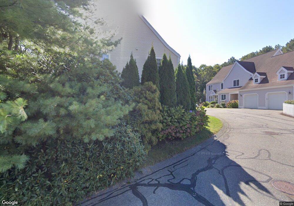
26 Hampton Ct Mashpee, MA 02649
Estimated Value: $472,000 - $498,111
2
Beds
3
Baths
1,457
Sq Ft
$333/Sq Ft
Est. Value
About This Home
This home is located at 26 Hampton Ct, Mashpee, MA 02649 and is currently estimated at $485,278, approximately $333 per square foot. 26 Hampton Ct is a home located in Barnstable County with nearby schools including Kenneth C. Coombs School, Quashnet School, and Mashpee Middle School.
Ownership History
Date
Name
Owned For
Owner Type
Purchase Details
Closed on
Jan 26, 2018
Sold by
Slayton Carol
Bought by
Slayton Ft
Current Estimated Value
Purchase Details
Closed on
Mar 29, 1995
Sold by
Fiorello Mary L
Bought by
Slayton Larry and Slayton Carol
Purchase Details
Closed on
Mar 29, 1994
Sold by
Johnson Charles E and Johnson Lindsay
Bought by
Fiorello Mary and Johnson Iva L
Purchase Details
Closed on
Oct 8, 1991
Sold by
Egerton Homes Mass Inc
Bought by
Fiorello Mary L
Home Financials for this Owner
Home Financials are based on the most recent Mortgage that was taken out on this home.
Original Mortgage
$67,500
Interest Rate
9.08%
Mortgage Type
Purchase Money Mortgage
Create a Home Valuation Report for This Property
The Home Valuation Report is an in-depth analysis detailing your home's value as well as a comparison with similar homes in the area
Purchase History
| Date | Buyer | Sale Price | Title Company |
|---|---|---|---|
| Slayton Ft | -- | -- | |
| Slayton Larry | $139,000 | -- | |
| Fiorello Mary | $80,000 | -- | |
| Fiorello Mary L | $135,000 | -- |
Source: Public Records
Mortgage History
| Date | Status | Borrower | Loan Amount |
|---|---|---|---|
| Previous Owner | Fiorello Mary L | $67,500 |
Source: Public Records
Tax History
| Year | Tax Paid | Tax Assessment Tax Assessment Total Assessment is a certain percentage of the fair market value that is determined by local assessors to be the total taxable value of land and additions on the property. | Land | Improvement |
|---|---|---|---|---|
| 2025 | $2,953 | $446,000 | $0 | $446,000 |
| 2024 | $2,735 | $425,300 | $0 | $425,300 |
| 2023 | $2,696 | $384,600 | $0 | $384,600 |
| 2022 | $2,569 | $314,400 | $0 | $314,400 |
| 2021 | $2,629 | $289,900 | $0 | $289,900 |
| 2020 | $2,574 | $283,200 | $0 | $283,200 |
| 2019 | $2,494 | $275,600 | $0 | $275,600 |
| 2018 | $2,325 | $260,600 | $0 | $260,600 |
| 2017 | $2,354 | $256,100 | $0 | $256,100 |
| 2016 | $2,350 | $254,300 | $0 | $254,300 |
| 2015 | $2,234 | $245,200 | $0 | $245,200 |
| 2014 | $2,127 | $226,500 | $0 | $226,500 |
Source: Public Records
Map
Nearby Homes
- 4 Bishops Park
- 16 Spring Brook Ln
- 173 Main St
- 35 Claulise Ln
- 226 Dunrobin Rd
- 70 Cape Dr Unit 14D
- 70 Cape Dr Unit 11D
- 70 Cape Dr Unit 11D
- 75 Bob White Run
- 195 Falmouth Rd Unit 10E
- 195 Falmouth Rd Unit 19F
- 195 Falmouth Rd Unit 10E
- 195 Falmouth Rd Unit 9D
- 195 Falmouth Rd Unit 19F
- 235 Main St
- 1597 Santuit-Newtown Rd
- 70 Simons Rd Unit E
- 70 Simons Rd
- 1456 Santuit-Newtown Rd
- 39 Papnomett Rd
- 63 Stratford Ponds Rd Unit 38
- 3 Mayfair Ct Unit 99
- 35 Windsor Point
- 27 Windsor Point
- 19 Windsor Point
- 15 Windsor Point
- 8 Bishops Park
- 14 Bishops Park
- 22 Bishops Park
- 21 Bishops Park
- 19 Bishops Park
- 4 Darby Point
- 6 Darby Point
- 8 Darby Point
- 11 Darby Point
- 85 Stratford Ponds Rd
- 69 Stratford Ponds Rd
- 65 Stratford Ponds Rd
- 63 Stratford Ponds Rd
- 24 Hampton Ct
Your Personal Tour Guide
Ask me questions while you tour the home.