269 Hoy Farms Dr Madison, MS 39110
Estimated Value: $390,000 - $485,000
--
Bed
--
Bath
3,015
Sq Ft
$146/Sq Ft
Est. Value
About This Home
This home is located at 269 Hoy Farms Dr, Madison, MS 39110 and is currently estimated at $441,001, approximately $146 per square foot. 269 Hoy Farms Dr is a home with nearby schools including Madison Avenue Upper Elementary School, Madison Avenue Elementary, and Madison Middle School.
Ownership History
Date
Name
Owned For
Owner Type
Purchase Details
Closed on
Jul 24, 2015
Sold by
Charter Builders Llc
Bought by
Malpass Melton Edward and Malpass Sharron Morris
Current Estimated Value
Home Financials for this Owner
Home Financials are based on the most recent Mortgage that was taken out on this home.
Original Mortgage
$220,000
Outstanding Balance
$84,650
Interest Rate
4.08%
Mortgage Type
New Conventional
Estimated Equity
$356,351
Purchase Details
Closed on
Oct 25, 2007
Sold by
Hoy Farms Development Inc
Bought by
Charter Builders Llc
Create a Home Valuation Report for This Property
The Home Valuation Report is an in-depth analysis detailing your home's value as well as a comparison with similar homes in the area
Home Values in the Area
Average Home Value in this Area
Purchase History
| Date | Buyer | Sale Price | Title Company |
|---|---|---|---|
| Malpass Melton Edward | -- | None Available | |
| Charter Builders Llc | -- | None Available |
Source: Public Records
Mortgage History
| Date | Status | Borrower | Loan Amount |
|---|---|---|---|
| Open | Malpass Melton Edward | $220,000 |
Source: Public Records
Tax History Compared to Growth
Tax History
| Year | Tax Paid | Tax Assessment Tax Assessment Total Assessment is a certain percentage of the fair market value that is determined by local assessors to be the total taxable value of land and additions on the property. | Land | Improvement |
|---|---|---|---|---|
| 2025 | $2,550 | $30,532 | $0 | $0 |
| 2024 | $2,550 | $30,532 | $0 | $0 |
| 2023 | $2,549 | $30,521 | $0 | $0 |
| 2022 | $2,549 | $30,521 | $0 | $0 |
| 2021 | $2,549 | $29,376 | $0 | $0 |
| 2020 | $2,549 | $29,376 | $0 | $0 |
| 2019 | $2,549 | $29,376 | $0 | $0 |
| 2018 | $2,549 | $29,376 | $0 | $0 |
| 2017 | $2,496 | $28,917 | $0 | $0 |
| 2016 | $2,496 | $28,917 | $0 | $0 |
| 2015 | $1,136 | $9,750 | $0 | $0 |
| 2014 | $682 | $5,850 | $0 | $0 |
Source: Public Records
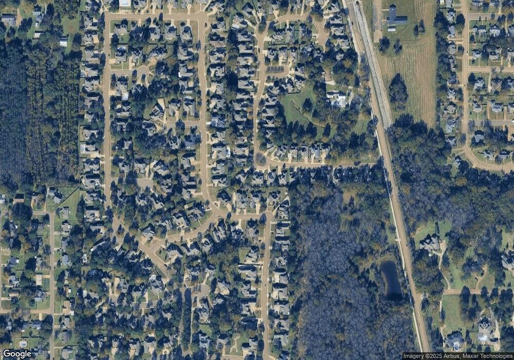
Map
Nearby Homes
- 165 Saint Ives Dr
- 169 Saint Ives Dr
- 722 Arlington Ct
- Lot 4 Chantilly Dr
- 865 Wellington Way
- 1133 Windrose Cir
- 1005 Laramie Ct
- 418 Wildwood Pointe
- 113 N Ridge Dr
- 181 Chantilly Dr
- 105 Victoria Place
- 234 Brisage Blvd
- 662 Baywood Pointe
- 129 Victoria Place
- 204 Street Charlotte Cove
- 1 Napa Valley Cir
- 202 Saint Pierre Cove
- 109 Brisage Dr
- 207 Geneva Blvd
- 557 Spring Hill Dr
- 273 Hoy Farms Dr
- 265 Hoy Farms Dr
- 364 Saint Ives Dr
- 364 St Ives Dr
- 277 Hoy Farms Dr
- 261 Hoy Farms Dr
- 360 St Ives Dr
- 360 Saint Ives Dr
- 360 St Ives Blvd
- 368 Saint Ives Dr
- 368 St Ives Dr
- 257 Hoy Farms Dr
- 281 Hoy Farms Dr
- 278 Hoy Farms Dr
- 278 Hoy Farms Dr
- 0 Sy Ives Unit Lot 2
- 380 Saint Ives Dr
- 372 Saint Ives Dr
- 384 Saint Ives Dr
- 372 St Ives Dr