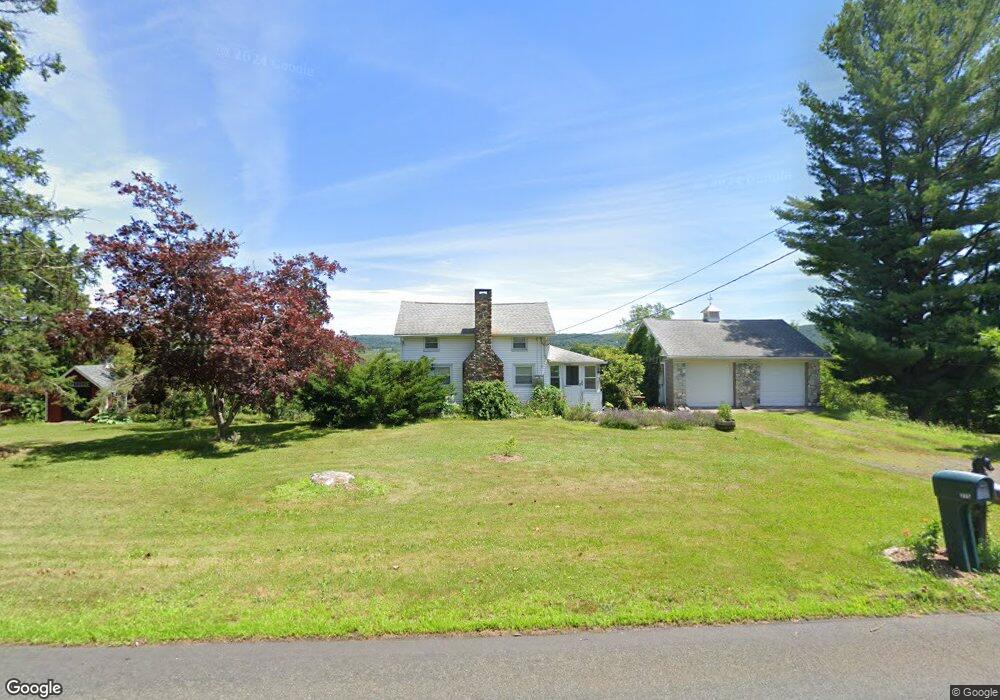
270 Tuttle Rd Durham, CT 06422
Estimated Value: $349,351 - $456,000
2
Beds
2
Baths
931
Sq Ft
$429/Sq Ft
Est. Value
About This Home
This home is located at 270 Tuttle Rd, Durham, CT 06422 and is currently estimated at $399,338, approximately $428 per square foot. 270 Tuttle Rd is a home located in Middlesex County with nearby schools including Frank Ward Strong School, Coginchaug Regional High School, and Yeshiva Gedolah of Waterbury- Mesivta Durham.
Ownership History
Date
Name
Owned For
Owner Type
Purchase Details
Closed on
May 28, 2008
Sold by
Bunnell Dale O
Bought by
Kosko Jason M
Current Estimated Value
Home Financials for this Owner
Home Financials are based on the most recent Mortgage that was taken out on this home.
Original Mortgage
$125,000
Interest Rate
5.91%
Create a Home Valuation Report for This Property
The Home Valuation Report is an in-depth analysis detailing your home's value as well as a comparison with similar homes in the area
Home Values in the Area
Average Home Value in this Area
Purchase History
| Date | Buyer | Sale Price | Title Company |
|---|---|---|---|
| Kosko Jason M | $230,000 | -- |
Source: Public Records
Mortgage History
| Date | Status | Borrower | Loan Amount |
|---|---|---|---|
| Open | Kosko Jason M | $128,400 | |
| Closed | Kosko Jason M | $125,000 | |
| Previous Owner | Kosko Jason M | $25,000 | |
| Previous Owner | Kosko Jason M | $93,000 |
Source: Public Records
Tax History
| Year | Tax Paid | Tax Assessment Tax Assessment Total Assessment is a certain percentage of the fair market value that is determined by local assessors to be the total taxable value of land and additions on the property. | Land | Improvement |
|---|---|---|---|---|
| 2025 | $5,015 | $134,120 | $80,620 | $53,500 |
| 2024 | $4,788 | $134,120 | $80,640 | $53,480 |
| 2023 | $4,665 | $134,120 | $80,640 | $53,480 |
| 2022 | $4,637 | $134,120 | $80,640 | $53,480 |
| 2021 | $4,769 | $134,120 | $80,640 | $53,480 |
| 2020 | $4,891 | $136,710 | $75,740 | $60,970 |
| 2019 | $4,907 | $136,710 | $75,740 | $60,970 |
| 2018 | $4,990 | $136,710 | $75,740 | $60,970 |
| 2017 | $5,400 | $136,710 | $75,740 | $60,970 |
| 2016 | $4,827 | $136,710 | $75,740 | $60,970 |
| 2015 | $5,418 | $160,580 | $95,410 | $65,170 |
| 2014 | $5,334 | $160,580 | $95,410 | $65,170 |
Source: Public Records
Map
Nearby Homes
- 280 Tuttle Rd
- 147 Tuttle Rd
- 0 Dinatale Dr
- 26 Old Wallingford Rd
- 148 & 153 Wallingford Rd
- 148 Wallingford Rd
- 89 S End Ave
- 153 Wallingford Rd
- 268 Main St
- 204 Old Blue Hills Rd
- 4 Jans Way
- 22 R Olde Yankee Way
- 147 Blue Hills Dr
- 16 Marie Ln
- 25 Route 79
- 5 Race Track Hollow
- 46 Cliffside Dr
- 18 Talcott Ridge Dr
- 0 Round Hill Lot 17 Rd
- 88 Powder Hill Rd
Your Personal Tour Guide
Ask me questions while you tour the home.