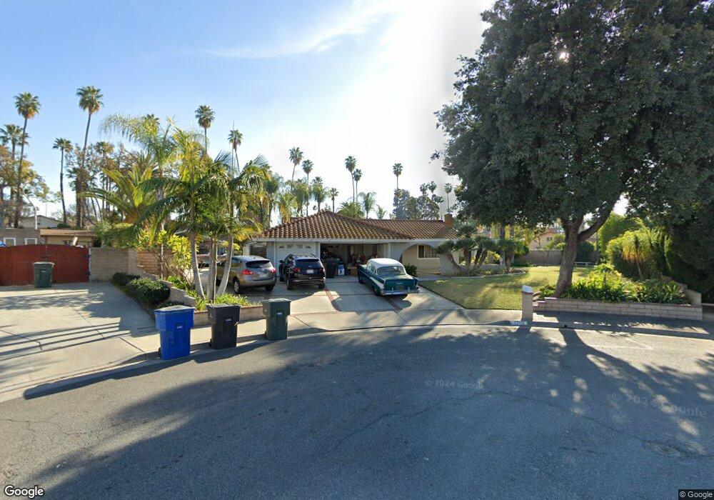
2712 Molly St Riverside, CA 92506
Victoria NeighborhoodEstimated Value: $609,000 - $637,567
3
Beds
2
Baths
1,380
Sq Ft
$454/Sq Ft
Est. Value
About This Home
This home is located at 2712 Molly St, Riverside, CA 92506 and is currently estimated at $626,392, approximately $453 per square foot. 2712 Molly St is a home located in Riverside County with nearby schools including Washington Elementary School, Matthew Gage Middle School, and Polytechnic High School.
Ownership History
Date
Name
Owned For
Owner Type
Purchase Details
Closed on
Oct 7, 1996
Sold by
Norwest Financial California Inc
Bought by
Coons Dale Paul and Coons Pamela Rae
Current Estimated Value
Home Financials for this Owner
Home Financials are based on the most recent Mortgage that was taken out on this home.
Original Mortgage
$80,000
Outstanding Balance
$7,352
Interest Rate
8.1%
Mortgage Type
Purchase Money Mortgage
Estimated Equity
$619,040
Purchase Details
Closed on
Jun 24, 1996
Sold by
Adame Ross S and Adame Linda M
Bought by
Norwest Financial California Inc
Create a Home Valuation Report for This Property
The Home Valuation Report is an in-depth analysis detailing your home's value as well as a comparison with similar homes in the area
Home Values in the Area
Average Home Value in this Area
Purchase History
| Date | Buyer | Sale Price | Title Company |
|---|---|---|---|
| Coons Dale Paul | $110,000 | Orange Coast Title | |
| Norwest Financial California Inc | $45,371 | Orange Coast Title |
Source: Public Records
Mortgage History
| Date | Status | Borrower | Loan Amount |
|---|---|---|---|
| Open | Coons Dale Paul | $80,000 |
Source: Public Records
Tax History
| Year | Tax Paid | Tax Assessment Tax Assessment Total Assessment is a certain percentage of the fair market value that is determined by local assessors to be the total taxable value of land and additions on the property. | Land | Improvement |
|---|---|---|---|---|
| 2025 | $2,351 | $220,115 | $65,124 | $154,991 |
| 2023 | $2,351 | $211,570 | $62,597 | $148,973 |
| 2022 | $2,296 | $207,422 | $61,370 | $146,052 |
| 2021 | $2,275 | $203,356 | $60,167 | $143,189 |
| 2020 | $2,257 | $201,272 | $59,551 | $141,721 |
| 2019 | $2,214 | $197,327 | $58,384 | $138,943 |
| 2018 | $2,170 | $193,459 | $57,241 | $136,218 |
| 2017 | $2,130 | $189,667 | $56,119 | $133,548 |
| 2016 | $1,995 | $185,949 | $55,019 | $130,930 |
| 2015 | $1,965 | $183,158 | $54,194 | $128,964 |
| 2014 | $1,945 | $179,573 | $53,134 | $126,439 |
Source: Public Records
Map
Nearby Homes
- 2656 Maude St
- 2906 Miguel St
- 2542 Adage Way
- 2994 David St
- 3076 Ronald St
- 7061 Seville Way
- 7057 Poco Senda
- 3180 Jane St
- 2875 Washington St
- 7073 New Mexico Dr
- 6174 Hawarden Dr
- 2866 Anna St
- 6952 Coolidge Ave
- 6146 Hawarden Dr
- 0 Rolling Ridge Rd
- 5979 Copperfield Ave
- 7008 Hawarden Dr
- 5978 Copperfield Ave
- 2110 Hathaway Place
- 2100 Hathaway Place
- 2722 Molly St
- 2709 Adelaide Ct
- 2717 Molly St
- 2719 Adelaide Ct
- 2732 Molly St
- 2727 Molly St
- 2729 Adelaide Ct
- 2712 Kathleen St
- 2737 Molly St
- 2710 Adelaide Ct
- 6643 Wintertree Dr
- 2722 Kathleen St
- 6649 Wintertree Dr Unit 63
- 6649 Wintertree Dr
- 2739 Adelaide Ct
- 6631 Wintertree Dr
- 2720 Adelaide Ct
- 6625 Wintertree Dr
- 2747 Molly St
- 2732 Kathleen St
Your Personal Tour Guide
Ask me questions while you tour the home.