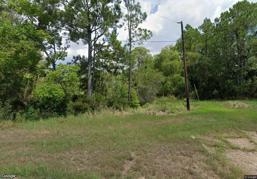
2720 Eula Rd Biloxi, MS 39531
Estimated Value: $91,000 - $140,000
--
Bed
--
Bath
--
Sq Ft
2.3
Acres
About This Home
This home is located at 2720 Eula Rd, Biloxi, MS 39531 and is currently estimated at $115,500. 2720 Eula Rd is a home located in Harrison County with nearby schools including Popps Ferry Elementary School, Biloxi Junior High School, and Biloxi High School.
Ownership History
Date
Name
Owned For
Owner Type
Purchase Details
Closed on
Mar 14, 2022
Sold by
Warr Properties Ii Llc
Bought by
Gulf Coast Development & Design Llc
Current Estimated Value
Home Financials for this Owner
Home Financials are based on the most recent Mortgage that was taken out on this home.
Original Mortgage
$523,855
Interest Rate
3.92%
Mortgage Type
New Conventional
Purchase Details
Closed on
Apr 4, 2018
Sold by
Childress Thomas L and Childress Terrice C
Bought by
Erickson John T and Meyer Elizabeth S
Purchase Details
Closed on
Oct 22, 2012
Sold by
Gbi Evergreen Llc
Bought by
Gbi Mississippi Llc
Home Financials for this Owner
Home Financials are based on the most recent Mortgage that was taken out on this home.
Original Mortgage
$578,315
Interest Rate
3.53%
Mortgage Type
Commercial
Create a Home Valuation Report for This Property
The Home Valuation Report is an in-depth analysis detailing your home's value as well as a comparison with similar homes in the area
Home Values in the Area
Average Home Value in this Area
Purchase History
| Date | Buyer | Sale Price | Title Company |
|---|---|---|---|
| Gulf Coast Development & Design Llc | -- | Coast Title | |
| Erickson John T | -- | -- | |
| Gbi Mississippi Llc | -- | -- |
Source: Public Records
Mortgage History
| Date | Status | Borrower | Loan Amount |
|---|---|---|---|
| Closed | Gulf Coast Development & Design Llc | $523,855 | |
| Previous Owner | Gbi Mississippi Llc | $578,315 |
Source: Public Records
Tax History Compared to Growth
Tax History
| Year | Tax Paid | Tax Assessment Tax Assessment Total Assessment is a certain percentage of the fair market value that is determined by local assessors to be the total taxable value of land and additions on the property. | Land | Improvement |
|---|---|---|---|---|
| 2024 | $2,197 | $19,838 | $0 | $0 |
| 2023 | $2,178 | $19,838 | $0 | $0 |
| 2022 | $2,178 | $19,838 | $0 | $0 |
| 2021 | $2,178 | $19,838 | $0 | $0 |
| 2020 | $1,896 | $17,250 | $0 | $0 |
| 2019 | $1,896 | $17,250 | $0 | $0 |
| 2018 | $1,896 | $17,250 | $0 | $0 |
| 2017 | $1,896 | $17,250 | $0 | $0 |
| 2015 | $4,088 | $37,200 | $0 | $0 |
| 2014 | -- | $62,000 | $0 | $0 |
| 2013 | -- | $37,200 | $37,200 | $0 |
Source: Public Records
Map
Nearby Homes
- 461 & 463 Goose Pointe Blvd
- 410 Goose Pointe Blvd
- 414 Goose Pointe Blvd
- 362 Goose Pointe Blvd
- 368 Goose Pointe Blvd
- 419 Cove Dr
- 371 Lakeview Blvd
- 386 Fly Away Ct
- 315 Goose Pointe Blvd
- 311 Westview Dr
- 407 Goose Pointe Blvd
- 2637 Park View Dr
- 0 Goose Pointe Blvd Unit 4101626
- 0 Debuys Rd
- 828 Oakleigh Ave Unit 15
- 828 Oakleigh Ave Unit 10
- 828 Oakleigh Ave Unit 9
- 828 Oakleigh Ave Unit 2
- 403 Alicia Dr
- 919 Oakleigh Ave
