2749 Elm Dr Springfield, OH 45504
Cedar Hills/Broadview NeighborhoodEstimated Value: $219,000 - $236,475
3
Beds
2
Baths
1,200
Sq Ft
$192/Sq Ft
Est. Value
About This Home
This home is located at 2749 Elm Dr, Springfield, OH 45504 and is currently estimated at $229,869, approximately $191 per square foot. 2749 Elm Dr is a home located in Clark County with nearby schools including Possum Elementary School, Shawnee Middle School/High School, and Clark Preparatory Academy.
Ownership History
Date
Name
Owned For
Owner Type
Purchase Details
Closed on
Nov 18, 2005
Sold by
Frary David G and Frary Wendy Y
Bought by
Mccauley Russell and Rehm Tamela S
Current Estimated Value
Home Financials for this Owner
Home Financials are based on the most recent Mortgage that was taken out on this home.
Original Mortgage
$120,000
Outstanding Balance
$65,090
Interest Rate
6.17%
Mortgage Type
Fannie Mae Freddie Mac
Estimated Equity
$164,779
Purchase Details
Closed on
Jan 5, 1993
Create a Home Valuation Report for This Property
The Home Valuation Report is an in-depth analysis detailing your home's value as well as a comparison with similar homes in the area
Home Values in the Area
Average Home Value in this Area
Purchase History
| Date | Buyer | Sale Price | Title Company |
|---|---|---|---|
| Mccauley Russell | $120,000 | -- | |
| -- | $75,000 | -- |
Source: Public Records
Mortgage History
| Date | Status | Borrower | Loan Amount |
|---|---|---|---|
| Open | Mccauley Russell | $120,000 |
Source: Public Records
Tax History
| Year | Tax Paid | Tax Assessment Tax Assessment Total Assessment is a certain percentage of the fair market value that is determined by local assessors to be the total taxable value of land and additions on the property. | Land | Improvement |
|---|---|---|---|---|
| 2025 | $2,576 | $62,210 | $17,100 | $45,110 |
| 2024 | $2,509 | $51,380 | $12,600 | $38,780 |
| 2023 | $2,509 | $51,380 | $12,600 | $38,780 |
| 2022 | $2,489 | $51,380 | $12,600 | $38,780 |
| 2021 | $2,155 | $39,830 | $9,770 | $30,060 |
| 2020 | $2,173 | $39,830 | $9,770 | $30,060 |
| 2019 | $2,207 | $39,830 | $9,770 | $30,060 |
| 2018 | $2,016 | $35,890 | $8,880 | $27,010 |
| 2017 | $2,066 | $35,889 | $8,883 | $27,006 |
| 2016 | $1,920 | $35,889 | $8,883 | $27,006 |
| 2015 | $1,847 | $34,388 | $8,883 | $25,505 |
| 2014 | $1,902 | $34,388 | $8,883 | $25,505 |
| 2013 | $1,609 | $34,388 | $8,883 | $25,505 |
Source: Public Records
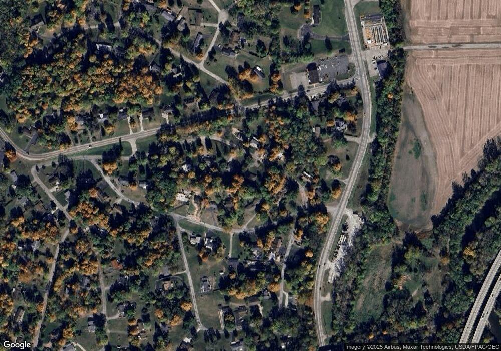
Map
Nearby Homes
- 2805 Cottonwood Dr
- 190 Oakridge Dr
- 2743 Ironwood Dr
- 0 Upper Valley Pike
- 624 Aberfelda Dr
- 925 Upper Valley Pike
- 917 White Oak Dr
- 124 Old Mill Rd
- 1866 Maiden Ln
- 106 Walter St
- 110 Walter St
- 1906-1908 W High St
- 1915 W Washington St
- 1828 W Washington St
- 1715 W North St
- 3891 New Carlisle Pike
- 22 Seever St
- 202 Seever St
- 40 Zischler St
- 1524 W North St Unit 1526
Your Personal Tour Guide
Ask me questions while you tour the home.