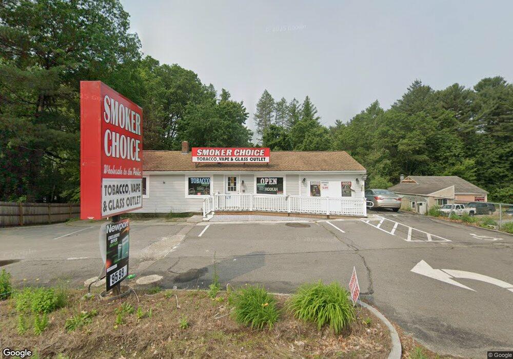
279 Lowell Rd Hudson, NH 03051
Estimated Value: $406,288
--
Bed
1
Bath
1,764
Sq Ft
$230/Sq Ft
Est. Value
About This Home
This home is located at 279 Lowell Rd, Hudson, NH 03051 and is currently estimated at $406,288, approximately $230 per square foot. 279 Lowell Rd is a home located in Hillsborough County with nearby schools including Presentation of Mary Academy and World Academy.
Ownership History
Date
Name
Owned For
Owner Type
Purchase Details
Closed on
Mar 15, 2013
Sold by
Mcaroy Holdings Llc
Bought by
Komma Holding Llc
Current Estimated Value
Purchase Details
Closed on
Jun 4, 2004
Sold by
Lawson Russell C
Bought by
Mcaroy Holdings Llc
Home Financials for this Owner
Home Financials are based on the most recent Mortgage that was taken out on this home.
Original Mortgage
$205,000
Interest Rate
5.94%
Mortgage Type
Commercial
Create a Home Valuation Report for This Property
The Home Valuation Report is an in-depth analysis detailing your home's value as well as a comparison with similar homes in the area
Home Values in the Area
Average Home Value in this Area
Purchase History
| Date | Buyer | Sale Price | Title Company |
|---|---|---|---|
| Komma Holding Llc | $185,000 | -- | |
| Komma Holding Llc | $185,000 | -- | |
| Mcaroy Holdings Llc | $201,000 | -- | |
| Mcaroy Holdings Llc | $201,000 | -- |
Source: Public Records
Mortgage History
| Date | Status | Borrower | Loan Amount |
|---|---|---|---|
| Previous Owner | Mcaroy Holdings Llc | $205,000 |
Source: Public Records
Tax History Compared to Growth
Tax History
| Year | Tax Paid | Tax Assessment Tax Assessment Total Assessment is a certain percentage of the fair market value that is determined by local assessors to be the total taxable value of land and additions on the property. | Land | Improvement |
|---|---|---|---|---|
| 2024 | $7,246 | $440,500 | $266,500 | $174,000 |
| 2023 | $6,609 | $421,500 | $266,500 | $155,000 |
| 2022 | $6,254 | $425,700 | $270,700 | $155,000 |
| 2021 | $7,110 | $328,100 | $167,700 | $160,400 |
| 2020 | $7,011 | $328,100 | $167,700 | $160,400 |
| 2019 | $6,587 | $324,800 | $167,700 | $157,100 |
| 2018 | $6,631 | $329,900 | $167,700 | $162,200 |
| 2017 | $6,506 | $329,900 | $167,700 | $162,200 |
| 2016 | $6,512 | $296,400 | $144,500 | $151,900 |
| 2015 | $6,265 | $294,800 | $144,500 | $150,300 |
| 2014 | $6,141 | $294,800 | $144,500 | $150,300 |
| 2013 | $6,061 | $294,800 | $144,500 | $150,300 |
Source: Public Records
Map
Nearby Homes
- 22 Old Coach Rd
- 1 Old Coach Rd
- 54 Dracut Rd
- 2 Copper Hill Rd
- 160 Daniel Webster Hwy Unit 328
- 130 E Hobart St Unit 85
- 5 Louisburg Square Unit 11
- 73 Bluestone Dr
- 92 Bluestone Dr
- 4 Autumn Leaf Dr Unit 8
- 123 Musquash Rd
- 8 Joan Ave
- 78 Gowing Rd
- 1 Wintergreen Dr
- 17 Schaefer Cir
- 17 Norris Rd
- 15 Norris Rd
- 210 Brook Village Rd Unit U43
- 7 Hickory St
- 55 Glen Dr