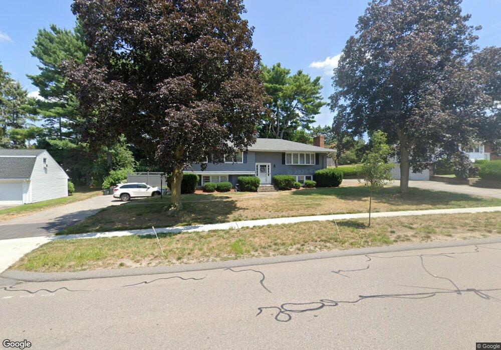
279 Needham St Dedham, MA 02026
Riverdale NeighborhoodEstimated Value: $756,619 - $878,000
3
Beds
2
Baths
1,300
Sq Ft
$637/Sq Ft
Est. Value
About This Home
This home is located at 279 Needham St, Dedham, MA 02026 and is currently estimated at $827,905, approximately $636 per square foot. 279 Needham St is a home located in Norfolk County with nearby schools including Riverdale Elementary School, Dedham Middle School, and Dedham High School.
Ownership History
Date
Name
Owned For
Owner Type
Purchase Details
Closed on
Jun 30, 2005
Sold by
Lehan Claire M
Bought by
Kelly John P and Kelly Marilyn J
Current Estimated Value
Home Financials for this Owner
Home Financials are based on the most recent Mortgage that was taken out on this home.
Original Mortgage
$325,000
Outstanding Balance
$170,420
Interest Rate
5.73%
Mortgage Type
Purchase Money Mortgage
Estimated Equity
$657,485
Create a Home Valuation Report for This Property
The Home Valuation Report is an in-depth analysis detailing your home's value as well as a comparison with similar homes in the area
Home Values in the Area
Average Home Value in this Area
Purchase History
| Date | Buyer | Sale Price | Title Company |
|---|---|---|---|
| Kelly John P | $490,000 | -- |
Source: Public Records
Mortgage History
| Date | Status | Borrower | Loan Amount |
|---|---|---|---|
| Open | Kelly John P | $325,000 |
Source: Public Records
Tax History
| Year | Tax Paid | Tax Assessment Tax Assessment Total Assessment is a certain percentage of the fair market value that is determined by local assessors to be the total taxable value of land and additions on the property. | Land | Improvement |
|---|---|---|---|---|
| 2025 | $8,988 | $712,200 | $349,400 | $362,800 |
| 2024 | $8,496 | $679,700 | $317,000 | $362,700 |
| 2023 | $8,486 | $660,900 | $287,000 | $373,900 |
| 2022 | $7,826 | $586,200 | $269,600 | $316,600 |
| 2021 | $7,257 | $530,900 | $249,600 | $281,300 |
| 2020 | $7,100 | $517,500 | $249,600 | $267,900 |
| 2019 | $6,711 | $474,300 | $217,100 | $257,200 |
| 2018 | $6,357 | $436,900 | $189,500 | $247,400 |
| 2017 | $6,043 | $409,400 | $177,400 | $232,000 |
| 2016 | $6,139 | $396,300 | $164,300 | $232,000 |
| 2015 | $5,691 | $358,600 | $163,400 | $195,200 |
| 2014 | $5,572 | $346,500 | $160,400 | $186,100 |
Source: Public Records
Map
Nearby Homes
- 342 Needham St
- 45 Commonwealth Ave
- 56 Riverview St
- 63 Dixon Ave
- 147 Pine St
- 50 Trimount St
- 1515 Vfw Pkwy Unit M19
- 27 Pine St
- 242 Valley Rd
- 18 Hemlock Rd
- 17-31 Charles Park Rd Unit 196
- 50 Sterling Rd
- 1206 Greendale Ave Unit 217
- 1206 Greendale Ave Unit 201
- 75 Bingham Ave
- 72 Valley Rd
- 1212 Greendale Ave Unit 300
- 1204 Greendale Ave Unit 128
- 1202 Greendale Ave Unit 124
- 1210 Vfw Pkwy Unit 11
- 287 Needham St
- 273 Needham St
- 106 Cunningham Rd
- 114 Cunningham Rd
- 295 Needham St
- 263 Needham St
- 176 Rosemary Rd
- 100 Cunningham Rd
- 282 Needham St
- 290 Needham St
- 97 Cunningham Rd
- 115 Cunningham Rd
- 300 Needham St
- 123 Cunningham Rd
- 92 Cunningham Rd
- 247 Needham St
- 189 Rosemary Rd
- 177 Rosemary Rd
- 87 Cunningham Rd
- 42 Lynch Ave
Your Personal Tour Guide
Ask me questions while you tour the home.