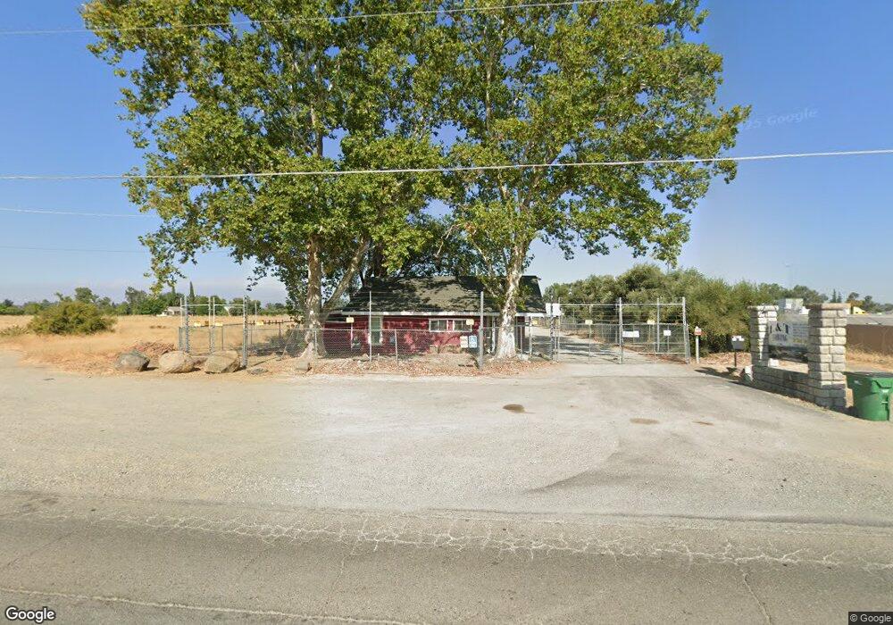
2791 99w Corning, CA 96021
Estimated Value: $277,714
1
Bed
1
Bath
1,487
Sq Ft
$187/Sq Ft
Est. Value
About This Home
This home is located at 2791 99w, Corning, CA 96021 and is currently estimated at $277,714, approximately $186 per square foot. 2791 99w is a home located in Tehama County with nearby schools including West Street Elementary School, Maywood Middle School, and Corning High School.
Ownership History
Date
Name
Owned For
Owner Type
Purchase Details
Closed on
Mar 17, 2022
Sold by
Walberg Properties Llc
Bought by
Zackary R Thornton Living Trust
Current Estimated Value
Purchase Details
Closed on
Apr 9, 2008
Sold by
Walberg Inc
Bought by
Walberg Properties Llc
Purchase Details
Closed on
Jan 2, 2008
Sold by
Landingham Marlene Joann
Bought by
Walberg Inc
Home Financials for this Owner
Home Financials are based on the most recent Mortgage that was taken out on this home.
Original Mortgage
$225,000
Interest Rate
6.07%
Mortgage Type
Commercial
Create a Home Valuation Report for This Property
The Home Valuation Report is an in-depth analysis detailing your home's value as well as a comparison with similar homes in the area
Purchase History
| Date | Buyer | Sale Price | Title Company |
|---|---|---|---|
| Zackary R Thornton Living Trust | $275,000 | Northern California Title | |
| Walberg Properties Llc | -- | None Available | |
| Walberg Inc | $300,000 | Fidelity Natl Title Co Of Ca |
Source: Public Records
Mortgage History
| Date | Status | Borrower | Loan Amount |
|---|---|---|---|
| Previous Owner | Walberg Inc | $225,000 |
Source: Public Records
Tax History
| Year | Tax Paid | Tax Assessment Tax Assessment Total Assessment is a certain percentage of the fair market value that is determined by local assessors to be the total taxable value of land and additions on the property. | Land | Improvement |
|---|---|---|---|---|
| 2025 | $3,019 | $291,832 | $159,181 | $132,651 |
| 2023 | $2,962 | $280,500 | $153,000 | $127,500 |
| 2022 | $3,937 | $371,309 | $237,640 | $133,669 |
| 2021 | $3,789 | $364,030 | $232,981 | $131,049 |
| 2020 | $3,829 | $360,299 | $230,593 | $129,706 |
| 2019 | $3,673 | $353,235 | $226,072 | $127,163 |
| 2018 | $3,679 | $346,310 | $221,640 | $124,670 |
| 2017 | $3,654 | $339,521 | $217,295 | $122,226 |
| 2016 | $3,407 | $332,865 | $213,035 | $119,830 |
| 2015 | $3,388 | $327,867 | $209,836 | $118,031 |
| 2014 | $3,328 | $321,445 | $205,726 | $115,719 |
Source: Public Records
Map
Nearby Homes
- 00 Loleta Ave
- 0 Hwy 99 W Unit SN26028885
- 0 Houghton Ave Unit 324045531
- 2067 Blossom Ave
- 0 Toomes Ave Unit SN25272183
- 0 Toomes Ave Unit SN24222817
- 0 Toomes Ave Unit SN25176211
- 2018 Donnovan Ave
- 1568 Link St
- 1013 Toomes Ave
- 1644 Kaufman Ave
- 3646 Kirkwood Rd
- 1075 99w
- 1195 West St
- 1311 6th Ave
- 3911 Columbia Ave
- 1410 4th Ave
- 1162 5th Ave
- 2480 Houghton Ave
- 1216 South St
Your Personal Tour Guide
Ask me questions while you tour the home.