285 Juniper Dr Auburn, CA 95602
Estimated Value: $486,000 - $600,000
3
Beds
2
Baths
1,770
Sq Ft
$313/Sq Ft
Est. Value
About This Home
This home is located at 285 Juniper Dr, Auburn, CA 95602 and is currently estimated at $554,091, approximately $313 per square foot. 285 Juniper Dr is a home located in Placer County with nearby schools including Placer High School, Bowman Charter School, and Alta Vista Community Charter.
Ownership History
Date
Name
Owned For
Owner Type
Purchase Details
Closed on
Apr 4, 2017
Sold by
Geil Ellen M
Bought by
Geil Ellen M
Current Estimated Value
Purchase Details
Closed on
Feb 28, 2017
Sold by
Dougherty James G and Geil Ellen M
Bought by
Dougherty James G and Geil Ellen M
Purchase Details
Closed on
Jul 20, 2007
Sold by
Dougherty James G and Geil Ellen M
Bought by
Dougherty James G
Purchase Details
Closed on
Jun 11, 1998
Sold by
Dougherty James G and Dougherty Ellen M
Bought by
Dougherty James G and Geil Ellen M
Purchase Details
Closed on
Jun 3, 1998
Sold by
Dougherty James G and Dougherty Ellen M
Bought by
Dougherty James G and Geil Ellen M
Create a Home Valuation Report for This Property
The Home Valuation Report is an in-depth analysis detailing your home's value as well as a comparison with similar homes in the area
Purchase History
| Date | Buyer | Sale Price | Title Company |
|---|---|---|---|
| Geil Ellen M | -- | None Available | |
| Dougherty James G | -- | None Available | |
| Dougherty James G | -- | Placer Title Company | |
| Dougherty James G | -- | -- | |
| Dougherty James G | -- | Fidelity National Title Co |
Source: Public Records
Tax History
| Year | Tax Paid | Tax Assessment Tax Assessment Total Assessment is a certain percentage of the fair market value that is determined by local assessors to be the total taxable value of land and additions on the property. | Land | Improvement |
|---|---|---|---|---|
| 2025 | $2,518 | $248,804 | $71,597 | $177,207 |
| 2023 | $2,518 | $239,145 | $68,818 | $170,327 |
| 2022 | $2,476 | $234,457 | $67,469 | $166,988 |
| 2021 | $2,386 | $229,861 | $66,147 | $163,714 |
| 2020 | $2,368 | $227,505 | $65,469 | $162,036 |
| 2019 | $2,323 | $223,045 | $64,186 | $158,859 |
| 2018 | $2,196 | $218,673 | $62,928 | $155,745 |
| 2017 | $2,155 | $214,387 | $61,695 | $152,692 |
| 2016 | $2,109 | $210,185 | $60,486 | $149,699 |
| 2015 | $2,056 | $207,029 | $59,578 | $147,451 |
| 2014 | $2,024 | $202,974 | $58,411 | $144,563 |
Source: Public Records
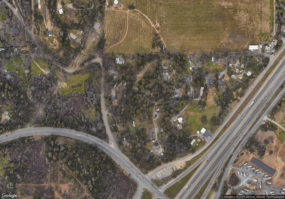
Map
Nearby Homes
- 14200 Carriage Oaks Ln
- 0 Old Airport Rd Unit 225114571
- 0 Richards Ln Unit 225114570
- 1001 Old Airport Rd
- 0 Krueger Dr Unit 226003256
- 13628 Finch Ct
- 5181 Westridge Cir
- 0 Tree Top Ln
- 970 Sierra View Cir
- 1811 Little Creek Rd
- 193 E Hillcrest Dr
- 155 Pinewood Way
- 12609 Quail Hollow Dr
- 1045 Fox Run Ct
- 2335 Briar Meadow Cir
- 2720 Winding Creek Ln
- 0 Clipper Gap Rd Unit 226034546
- 1333 Wesley Ln
- 2365 Briar Meadow Cir
- 2375 Briar Meadow Cir
Your Personal Tour Guide
Ask me questions while you tour the home.