28910 SE K W Anderson Rd Gresham, OR 97080
Sandy River NeighborhoodEstimated Value: $591,000 - $658,000
3
Beds
2
Baths
1,080
Sq Ft
$578/Sq Ft
Est. Value
About This Home
This home is located at 28910 SE K W Anderson Rd, Gresham, OR 97080 and is currently estimated at $624,340, approximately $578 per square foot. 28910 SE K W Anderson Rd is a home with nearby schools including Powell Valley Elementary School, Gordon Russell Middle School, and Sam Barlow High School.
Ownership History
Date
Name
Owned For
Owner Type
Purchase Details
Closed on
Jan 31, 2022
Sold by
Alley Robert Wayne
Bought by
Mal James L and House Marie
Current Estimated Value
Home Financials for this Owner
Home Financials are based on the most recent Mortgage that was taken out on this home.
Original Mortgage
$400,000
Interest Rate
3.92%
Mortgage Type
New Conventional
Purchase Details
Closed on
Jan 25, 2009
Sold by
Alley Robert W and Alley Darlene E
Bought by
Alley Robert W and Alley Darlene E
Create a Home Valuation Report for This Property
The Home Valuation Report is an in-depth analysis detailing your home's value as well as a comparison with similar homes in the area
Home Values in the Area
Average Home Value in this Area
Purchase History
| Date | Buyer | Sale Price | Title Company |
|---|---|---|---|
| Mal James L | $600,000 | First American Title | |
| Alley Robert W | -- | None Available |
Source: Public Records
Mortgage History
| Date | Status | Borrower | Loan Amount |
|---|---|---|---|
| Previous Owner | Mal James L | $400,000 |
Source: Public Records
Tax History Compared to Growth
Tax History
| Year | Tax Paid | Tax Assessment Tax Assessment Total Assessment is a certain percentage of the fair market value that is determined by local assessors to be the total taxable value of land and additions on the property. | Land | Improvement |
|---|---|---|---|---|
| 2025 | $5,944 | $312,730 | -- | -- |
| 2024 | $5,682 | $303,630 | -- | -- |
| 2023 | $5,682 | $294,790 | $0 | $0 |
| 2022 | $5,416 | $286,210 | $0 | $0 |
| 2021 | $5,270 | $277,880 | $0 | $0 |
| 2020 | $4,960 | $269,790 | $0 | $0 |
| 2019 | $4,834 | $261,940 | $0 | $0 |
| 2018 | $4,609 | $254,320 | $0 | $0 |
| 2017 | $4,429 | $246,920 | $0 | $0 |
| 2016 | $3,906 | $239,730 | $0 | $0 |
| 2015 | $3,820 | $232,750 | $0 | $0 |
| 2014 | $3,736 | $225,980 | $0 | $0 |
Source: Public Records
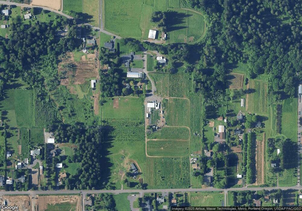
Map
Nearby Homes
- 28467 SE Kw Anderson Rd
- 28421 SE Lusted Rd
- 1478 SE Pheasant Ave
- 1415 SE Pheasant Ave
- 1490 SE Pheasant Ave
- 1427 SE Pheasant Ave
- 1439 SE Pheasant Ave
- 1494 SE Pheasant Ave
- 6114 SE 15th St
- 6108 SE 15th St
- 6102 SE 15th St
- Pepperwood Plan at The Vineyards at Blue Pearl
- Glacier Plan at The Vineyards at Blue Pearl
- 4567 SE 282nd Ave
- 5960 SE 15th Loop
- 5856 SE Woodland Dr
- 1221 SE Ironwood Ln
- 2093 SE Osprey Ave
- 5392 SE 13th Ct
- 5709 SE 18th Ct
- 28800 SE K W Anderson Rd
- 28950 SE Kw Anderson Rd
- 28900 SE Kw Anderson Rd
- 28925 SE Kw Anderson Rd
- 28708 SE Wk Anderson Rd
- 29101 SE Lusted Rd
- 28660 SE Wk Anderson Rd
- 28515 SE Lusted Rd
- 29143 SE Lusted Rd
- 29119 SE Lusted Rd
- 28505 SE Lusted Rd
- 28525 SE Lusted Rd
- 0 SE Kw Anderson Rd
- 28930 SE Lusted Rd
- 28944 SE Lusted Rd
- 29217 SE Lusted Rd
- 28777 SE Wk Anderson Rd
- 28740 SE Lusted Rd
- 28512 SE Wk Anderson Rd
- 29014 SE Lusted Rd