C
Seller's Agent in 2018
Christopher Lavoie
Keller Williams Realty
Estimated Value: $1,111,000 - $1,308,993
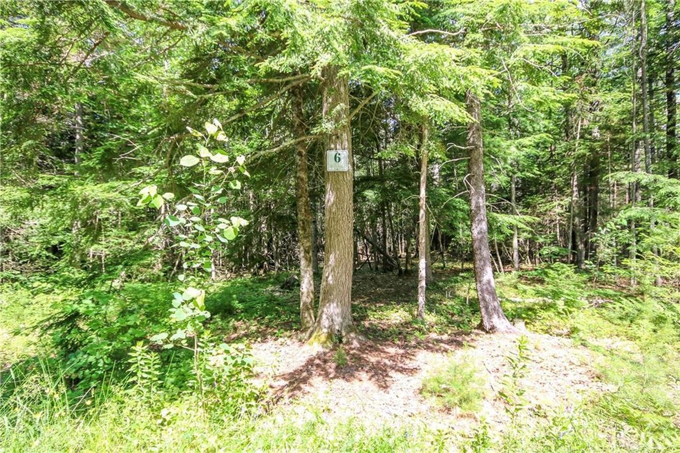
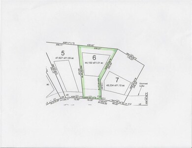
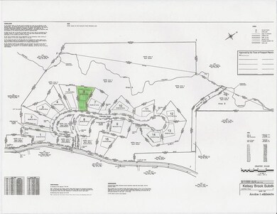
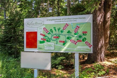
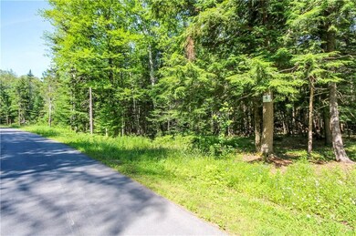
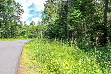
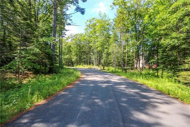
Kelsey Brook is an open space certified-green residential development located off Flying Point Road in the Wolf Neck area of Freeport and set in a larger complex of protected land that encompasses over 180 acres of mature forest, agricultural land and surprising topographic relief. Build your certified green home here! Lot 6 is well treed and offers a generous building envelope with a nice slope down to Kelsey Brook - perfect for a walkout home. Every lot has direct access to the adjacent conservation areas.
Last Agent to Sell the Property
Christopher Lavoie
Keller Williams Realty Listed on: 02/01/2018
| Date | Event | Price | List to Sale | Price per Sq Ft |
|---|---|---|---|---|
| 03/30/2018 03/30/18 | Sold | $115,000 | 0.0% | -- |
| 02/26/2018 02/26/18 | Pending | -- | -- | -- |
| 02/01/2018 02/01/18 | For Sale | $115,000 | -- | -- |
| Year | Tax Paid | Tax Assessment Tax Assessment Total Assessment is a certain percentage of the fair market value that is determined by local assessors to be the total taxable value of land and additions on the property. | Land | Improvement |
|---|---|---|---|---|
| 2024 | $10,338 | $774,400 | $199,600 | $574,800 |
| 2023 | $9,420 | $685,100 | $181,500 | $503,600 |
| 2022 | $9,088 | $665,800 | $162,200 | $503,600 |
| 2021 | $8,702 | $651,800 | $162,200 | $489,600 |
| 2020 | $6,174 | $441,000 | $150,300 | $290,700 |
| 2019 | $1,509 | $105,500 | $105,500 | $0 |
| 2018 | $1,386 | $99,400 | $99,400 | $0 |
| 2017 | $1,452 | $97,100 | $97,100 | $0 |
| 2016 | $1,386 | $87,700 | $87,700 | $0 |
| 2015 | $1,320 | $78,600 | $78,600 | $0 |
| 2014 | $1,242 | $78,600 | $78,600 | $0 |
| 2013 | $1,246 | $78,600 | $78,600 | $0 |
C
Seller's Agent in 2018
Christopher Lavoie
Keller Williams Realty
R
Seller Co-Listing Agent in 2018
Russell Deconti
Keller Williams Realty
(207) 879-9800
1 Total Sale
E
Buyer's Agent in 2018
Erin Grady
Bostwick and Company, Inc.
(207) 650-4458
27 Total Sales
Source: Maine Listings
MLS Number: 1337541
APN: FPRT-000019-000065-000006
Disclaimer: Certain information contained herein is derived from information provided by parties other than Homes.com. All information provided is deemed reliable, but is not guaranteed to be accurate and should be independently verified.
![]() Listing data is derived in whole or in part from Maine Real Estate Information System, Inc. (d/b/a Maine Listings) and is for consumers' personal, noncommercial use only. Dimensions are approximate and not guaranteed. All data should be independently verified.
Listing data is derived in whole or in part from Maine Real Estate Information System, Inc. (d/b/a Maine Listings) and is for consumers' personal, noncommercial use only. Dimensions are approximate and not guaranteed. All data should be independently verified.
© 2025 Maine Real Estate Information System, Inc. All Rights Reserved. Equal Housing Opportunity.
Homes.com, LLC, 17600 Laguna Canyon Rd Irvine, CA 92618 (888)-952-6393
![]()
