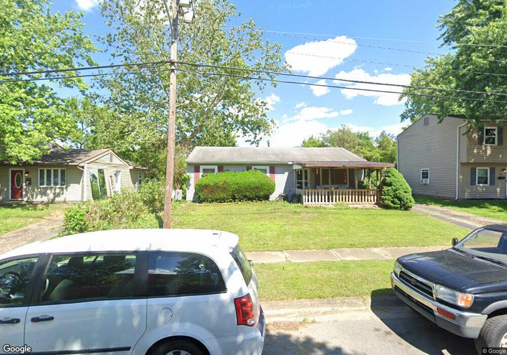
2900 Whitlow Rd Columbus, OH 43232
Walnut Heights NeighborhoodEstimated Value: $132,000 - $233,000
3
Beds
1
Bath
912
Sq Ft
$198/Sq Ft
Est. Value
About This Home
This home is located at 2900 Whitlow Rd, Columbus, OH 43232 and is currently estimated at $181,010, approximately $198 per square foot. 2900 Whitlow Rd is a home located in Franklin County with nearby schools including Liberty Elementary School, Yorktown Middle School, and Independence High School.
Ownership History
Date
Name
Owned For
Owner Type
Purchase Details
Closed on
Oct 5, 2006
Sold by
Moody Ronald and Moody Sue A
Bought by
Rhoades Joseph A and Rhoades Cathy A
Current Estimated Value
Home Financials for this Owner
Home Financials are based on the most recent Mortgage that was taken out on this home.
Original Mortgage
$52,800
Outstanding Balance
$31,576
Interest Rate
6.5%
Mortgage Type
Purchase Money Mortgage
Estimated Equity
$149,434
Purchase Details
Closed on
Sep 4, 1992
Bought by
Moody Ronald and Moody Sue A
Purchase Details
Closed on
Jun 1, 1986
Create a Home Valuation Report for This Property
The Home Valuation Report is an in-depth analysis detailing your home's value as well as a comparison with similar homes in the area
Home Values in the Area
Average Home Value in this Area
Purchase History
| Date | Buyer | Sale Price | Title Company |
|---|---|---|---|
| Rhoades Joseph A | $55,000 | Northwest Title | |
| Moody Ronald | $45,000 | -- | |
| -- | $32,900 | -- |
Source: Public Records
Mortgage History
| Date | Status | Borrower | Loan Amount |
|---|---|---|---|
| Open | Rhoades Joseph A | $52,800 |
Source: Public Records
Tax History Compared to Growth
Tax History
| Year | Tax Paid | Tax Assessment Tax Assessment Total Assessment is a certain percentage of the fair market value that is determined by local assessors to be the total taxable value of land and additions on the property. | Land | Improvement |
|---|---|---|---|---|
| 2024 | $2,206 | $49,150 | $17,820 | $31,330 |
| 2023 | $2,178 | $49,140 | $17,815 | $31,325 |
| 2022 | $1,186 | $22,860 | $6,300 | $16,560 |
| 2021 | $1,188 | $22,860 | $6,300 | $16,560 |
| 2020 | $1,189 | $22,860 | $6,300 | $16,560 |
| 2019 | $1,162 | $19,150 | $5,250 | $13,900 |
| 2018 | $1,139 | $19,150 | $5,250 | $13,900 |
| 2017 | $1,161 | $19,150 | $5,250 | $13,900 |
| 2016 | $1,233 | $18,620 | $4,340 | $14,280 |
| 2015 | $1,120 | $18,620 | $4,340 | $14,280 |
| 2014 | $1,122 | $18,620 | $4,340 | $14,280 |
| 2013 | $615 | $20,685 | $4,830 | $15,855 |
Source: Public Records
Map
Nearby Homes
- 5373 Spire Ln
- 5401 Spire Ln
- 2998 Osgood Rd E
- 5377 Bleaker Ave
- 5125 Upton Rd N
- 5278 Glenbriar Ct
- 5137 Holbrook Dr
- 2651 Brownfield Rd
- 2901 Renfro Rd
- 5323 Sundale Place S
- 3148 Aldgate St
- 2730 Raphael Dr
- 4906 Refugee Rd
- 3198 Gallant Dr
- 2744 Barrows Rd
- 2736 Barrows Rd
- 3387 Retriever Rd
- 5268 Carbondale Dr
- 2991 Blue Moon Dr
- 2900 Ronda Rd
- 2892 Whitlow Rd
- 2906 Whitlow Rd
- 2905 Gentry Ln
- 2884 Whitlow Rd
- 2918 Whitlow Rd
- 2909 Gentry Ln
- 2876 Gentry Ln
- 2878 Whitlow Rd
- 5326 Paladim Rd
- 5334 Paladim Rd
- 2880 Gentry Ln
- 2913 Gentry Ln
- 5346 Paladim Rd
- 5326 Paladim Place
- 2884 Gentry Ln
- 5321 Paladim Place
- 2949 Reynard Rd
- 5354 Paladim Rd
- 2888 Gentry Ln
- 2921 Gentry Ln