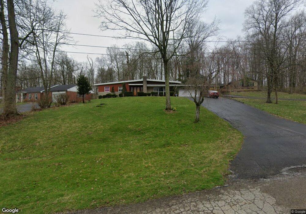
2909 Locust Dr Springfield, OH 45504
Cedar Hills/Broadview NeighborhoodEstimated Value: $305,000 - $332,000
3
Beds
2
Baths
2,035
Sq Ft
$156/Sq Ft
Est. Value
About This Home
This home is located at 2909 Locust Dr, Springfield, OH 45504 and is currently estimated at $317,380, approximately $155 per square foot. 2909 Locust Dr is a home located in Clark County with nearby schools including Possum Elementary School, Shawnee Middle School/High School, and Springfield Christian School.
Ownership History
Date
Name
Owned For
Owner Type
Purchase Details
Closed on
Aug 21, 2013
Sold by
Wilson Warner R
Bought by
Beach Phillip A and Heffner Jacqueline K
Current Estimated Value
Home Financials for this Owner
Home Financials are based on the most recent Mortgage that was taken out on this home.
Original Mortgage
$142,373
Outstanding Balance
$104,943
Interest Rate
4.4%
Mortgage Type
FHA
Estimated Equity
$212,437
Create a Home Valuation Report for This Property
The Home Valuation Report is an in-depth analysis detailing your home's value as well as a comparison with similar homes in the area
Home Values in the Area
Average Home Value in this Area
Purchase History
| Date | Buyer | Sale Price | Title Company |
|---|---|---|---|
| Beach Phillip A | $145,000 | None Available |
Source: Public Records
Mortgage History
| Date | Status | Borrower | Loan Amount |
|---|---|---|---|
| Open | Beach Phillip A | $142,373 |
Source: Public Records
Tax History
| Year | Tax Paid | Tax Assessment Tax Assessment Total Assessment is a certain percentage of the fair market value that is determined by local assessors to be the total taxable value of land and additions on the property. | Land | Improvement |
|---|---|---|---|---|
| 2025 | $3,982 | $87,980 | $17,800 | $70,180 |
| 2024 | $3,878 | $79,250 | $12,520 | $66,730 |
| 2023 | $3,878 | $79,250 | $12,520 | $66,730 |
| 2022 | $3,847 | $79,250 | $12,520 | $66,730 |
| 2021 | $3,052 | $56,400 | $10,170 | $46,230 |
| 2020 | $3,077 | $56,400 | $10,170 | $46,230 |
| 2019 | $3,126 | $56,400 | $10,170 | $46,230 |
| 2018 | $3,267 | $58,160 | $10,580 | $47,580 |
| 2017 | $3,349 | $61,174 | $10,581 | $50,593 |
| 2016 | $3,021 | $61,174 | $10,581 | $50,593 |
| 2015 | $3,102 | $60,768 | $10,175 | $50,593 |
| 2014 | $3,111 | $60,768 | $10,175 | $50,593 |
| 2013 | $2,703 | $60,768 | $10,175 | $50,593 |
Source: Public Records
Map
Nearby Homes
- 2805 Cottonwood Dr
- 2743 Ironwood Dr
- 190 Oakridge Dr
- 624 Aberfelda Dr
- 917 White Oak Dr
- 925 Upper Valley Pike
- 0 Upper Valley Pike
- 2705 Ash Dr
- 124 Old Mill Rd
- 780 W Eva Cir
- 2162 Broadway St
- 3819 New Carlisle Pike
- 80 Carlisle Ave
- 23 Rock Run
- 1866 Maiden Ln
- 3267 Lower Valley Pike Unit Tract 2
- 106 Walter St
- 1915 W Washington St
- 1828 W Washington St
- 22 Seever St
Your Personal Tour Guide
Ask me questions while you tour the home.