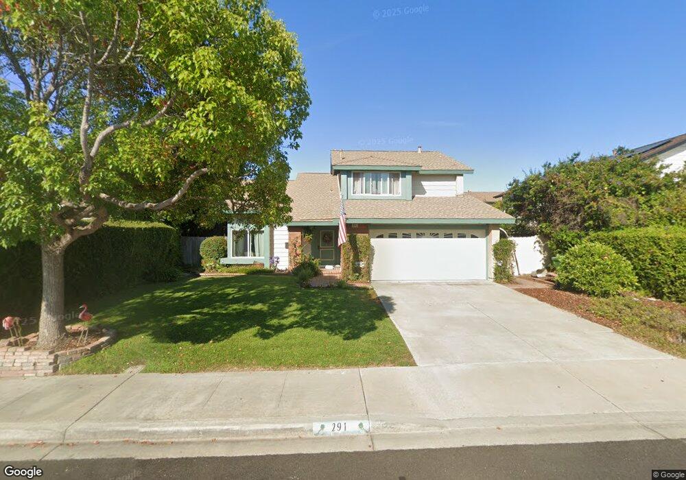
291 Bluff Way Oceanside, CA 92054
Loma Alta NeighborhoodEstimated Value: $1,032,025 - $1,165,000
3
Beds
3
Baths
2,021
Sq Ft
$549/Sq Ft
Est. Value
About This Home
This home is located at 291 Bluff Way, Oceanside, CA 92054 and is currently estimated at $1,108,756, approximately $548 per square foot. 291 Bluff Way is a home located in San Diego County with nearby schools including Lincoln Middle School, Oceanside High School, and Oceanside Adventist Elementary School.
Ownership History
Date
Name
Owned For
Owner Type
Purchase Details
Closed on
Jan 8, 2020
Sold by
Geopfarth Alen and Coe Amy
Bought by
Geopfarth Alen and Coe Amy
Current Estimated Value
Create a Home Valuation Report for This Property
The Home Valuation Report is an in-depth analysis detailing your home's value as well as a comparison with similar homes in the area
Home Values in the Area
Average Home Value in this Area
Purchase History
| Date | Buyer | Sale Price | Title Company |
|---|---|---|---|
| Geopfarth Alen | -- | None Available |
Source: Public Records
Tax History
| Year | Tax Paid | Tax Assessment Tax Assessment Total Assessment is a certain percentage of the fair market value that is determined by local assessors to be the total taxable value of land and additions on the property. | Land | Improvement |
|---|---|---|---|---|
| 2025 | $5,638 | $516,773 | $260,690 | $256,083 |
| 2024 | $5,638 | $506,641 | $255,579 | $251,062 |
| 2023 | $5,463 | $496,708 | $250,568 | $246,140 |
| 2022 | $5,379 | $486,969 | $245,655 | $241,314 |
| 2021 | $5,398 | $477,422 | $240,839 | $236,583 |
| 2020 | $5,231 | $472,528 | $238,370 | $234,158 |
| 2019 | $5,078 | $463,264 | $233,697 | $229,567 |
| 2018 | $5,023 | $454,181 | $229,115 | $225,066 |
| 2017 | $4,929 | $445,276 | $224,623 | $220,653 |
| 2016 | $4,768 | $436,546 | $220,219 | $216,327 |
| 2015 | $4,628 | $429,990 | $216,912 | $213,078 |
| 2014 | $4,219 | $400,000 | $197,000 | $203,000 |
Source: Public Records
Map
Nearby Homes
- 432 Edgehill Ln Unit 169
- 432 Edgehill Ln Unit 165
- 432 Edgehill Ln Unit 83
- 432 Edgehill Ln Unit 95
- 432 Edgehill Ln Unit 74
- 2713 Lancelot Dr
- 223 Cottingham Ct
- 3030 Oceanside Blvd Unit 56
- 3030 Oceanside Blvd Unit 44
- 3030 Oceanside Blvd Unit 10
- 519 Camelot Dr
- 116 N Barnwell St
- 230 Hoover St
- 3325 Tonopah St
- 3313 Tonopah St
- 3410 Tonopah St
- 1331 Cornish Dr
- 3592 Boussock Ln
- 3430 Las Vegas Dr
- 3621 Vista Campana S
- 285 Bluff Way
- 297 Bluff Way
- 472 Mainsail Rd
- 303 Bluff Way
- 476 Mainsail Rd
- 292 Bluff Way
- 304 Edgehill Ln
- 298 Bluff Way
- 286 Bluff Way
- 309 Bluff Way
- 392 Islander St
- 312 Edgehill Ln
- 467 Mainsail Rd
- 399 Islander St
- 304 Bluff Way
- 388 Islander St
- 315 Bluff Way
- 3537 Voyager Ct
- 463 Mainsail Rd
- 395 Islander St
Your Personal Tour Guide
Ask me questions while you tour the home.