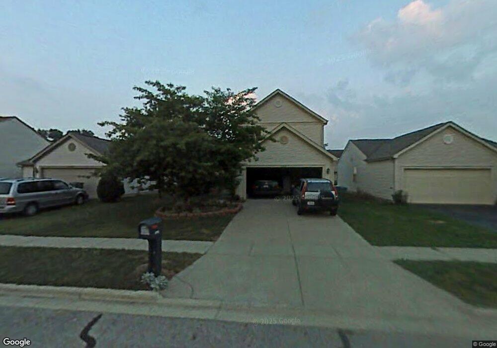
2928 Blue Top Dr Columbus, OH 43232
Walnut Heights NeighborhoodEstimated Value: $236,464 - $278,000
3
Beds
2
Baths
1,272
Sq Ft
$207/Sq Ft
Est. Value
About This Home
This home is located at 2928 Blue Top Dr, Columbus, OH 43232 and is currently estimated at $263,116, approximately $206 per square foot. 2928 Blue Top Dr is a home located in Franklin County with nearby schools including Liberty Elementary School, Yorktown Middle School, and Independence High School.
Ownership History
Date
Name
Owned For
Owner Type
Purchase Details
Closed on
Apr 29, 1996
Sold by
M/I Schottentsein Homes
Bought by
William C Fifelds
Current Estimated Value
Home Financials for this Owner
Home Financials are based on the most recent Mortgage that was taken out on this home.
Original Mortgage
$112,577
Outstanding Balance
$6,362
Interest Rate
7.91%
Mortgage Type
VA
Estimated Equity
$256,754
Purchase Details
Closed on
Dec 14, 1995
Sold by
Affordable Housing Assoc
Bought by
M/I Schottenstein Homes Inc
Create a Home Valuation Report for This Property
The Home Valuation Report is an in-depth analysis detailing your home's value as well as a comparison with similar homes in the area
Home Values in the Area
Average Home Value in this Area
Purchase History
| Date | Buyer | Sale Price | Title Company |
|---|---|---|---|
| William C Fifelds | $115,935 | -- | |
| M/I Schottenstein Homes Inc | $152,100 | -- |
Source: Public Records
Mortgage History
| Date | Status | Borrower | Loan Amount |
|---|---|---|---|
| Open | William C Fifelds | $112,577 |
Source: Public Records
Tax History Compared to Growth
Tax History
| Year | Tax Paid | Tax Assessment Tax Assessment Total Assessment is a certain percentage of the fair market value that is determined by local assessors to be the total taxable value of land and additions on the property. | Land | Improvement |
|---|---|---|---|---|
| 2024 | $2,919 | $65,040 | $16,980 | $48,060 |
| 2023 | $2,882 | $65,030 | $16,975 | $48,055 |
| 2022 | $2,324 | $44,800 | $5,250 | $39,550 |
| 2021 | $2,328 | $44,800 | $5,250 | $39,550 |
| 2020 | $2,331 | $44,800 | $5,250 | $39,550 |
| 2019 | $2,321 | $38,260 | $4,380 | $33,880 |
| 2018 | $2,077 | $38,260 | $4,380 | $33,880 |
| 2017 | $2,320 | $38,260 | $4,380 | $33,880 |
| 2016 | $2,024 | $30,560 | $5,740 | $24,820 |
| 2015 | $1,838 | $30,560 | $5,740 | $24,820 |
| 2014 | $1,842 | $30,560 | $5,740 | $24,820 |
| 2013 | $1,009 | $33,950 | $6,370 | $27,580 |
Source: Public Records
Map
Nearby Homes
- 2991 Blue Moon Dr
- 3057 Lamptonridge Dr
- 5957 Hollett Dr S
- 5969 Hollett Dr S
- 2744 Barrows Rd
- 2736 Barrows Rd
- 5987 Hollett Dr S
- 5882 Abernathy Ln Unit 5882F
- 5936 Abernathy Ln
- 5938 Abernathy Ln
- 5944 Abernathy Ln
- 5946 Abernathy Ln
- 5960 Abernathy Ln
- 5962 Abernathy Ln
- 5968 Abernathy Ln
- 5970 Abernathy Ln
- 5976 Abernathy Ln
- 5978 Abernathy Ln
- 3198 Gallant Dr
- 3148 Aldgate St
- 2920 Blue Top Dr
- 2936 Blue Top Dr
- 2944 Blue Top Dr
- 2912 Blue Top Dr
- 2929 Sand Dollar Dr
- 2937 Sand Dollar Dr
- 2952 Blue Top Dr
- 2945 Sand Dollar Dr
- 2921 Sand Dollar Dr
- 2904 Blue Top Dr
- 2931 Blue Top Dr
- 2939 Blue Top Dr
- 2923 Blue Top Dr
- 2953 Sand Dollar Dr
- 2947 Blue Top Dr
- 2960 Blue Top Dr
- 2915 Blue Top Dr
- 2955 Blue Top Dr
- 2961 Sand Dollar Dr
- 2907 Blue Top Dr