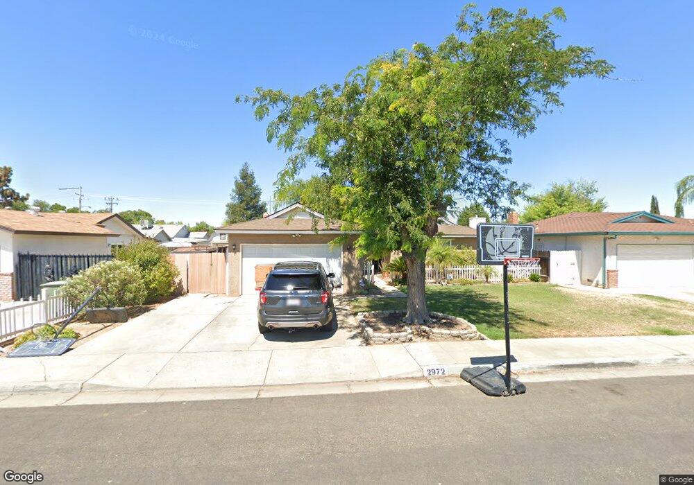
2972 Paula Dr Clovis, CA 93612
Estimated Value: $344,855 - $363,000
3
Beds
2
Baths
1,402
Sq Ft
$253/Sq Ft
Est. Value
About This Home
This home is located at 2972 Paula Dr, Clovis, CA 93612 and is currently estimated at $355,285, approximately $253 per square foot. 2972 Paula Dr is a home located in Fresno County with nearby schools including Viking Elementary School, Ahwahnee Middle School, and Herbert Hoover High School.
Ownership History
Date
Name
Owned For
Owner Type
Purchase Details
Closed on
Aug 3, 2015
Sold by
Carter Michael J and Carter Julie L
Bought by
Michael & Julie Carter Living Trust and Carter Julie L
Current Estimated Value
Purchase Details
Closed on
Oct 18, 2012
Sold by
Minas Nicholas J
Bought by
Carter Michael Jeffrey and Carter Julie Lane
Purchase Details
Closed on
Dec 10, 2004
Sold by
Minas Nicholas J
Bought by
Minas Nicholas J and Minas Jamie L
Purchase Details
Closed on
Aug 31, 2004
Sold by
Minas Nicholas J and Minas Nick
Bought by
Minas Nicholas J
Home Financials for this Owner
Home Financials are based on the most recent Mortgage that was taken out on this home.
Original Mortgage
$182,700
Interest Rate
5.94%
Mortgage Type
Purchase Money Mortgage
Create a Home Valuation Report for This Property
The Home Valuation Report is an in-depth analysis detailing your home's value as well as a comparison with similar homes in the area
Home Values in the Area
Average Home Value in this Area
Purchase History
| Date | Buyer | Sale Price | Title Company |
|---|---|---|---|
| Michael & Julie Carter Living Trust | -- | None Available | |
| Carter Michael Jeffrey | $112,500 | None Available | |
| Minas Nicholas J | -- | -- | |
| Minas Nicholas J | -- | Financial Title Company | |
| Minas Nicholas J | -- | Financial Title Company |
Source: Public Records
Mortgage History
| Date | Status | Borrower | Loan Amount |
|---|---|---|---|
| Previous Owner | Minas Nicholas J | $182,700 |
Source: Public Records
Tax History
| Year | Tax Paid | Tax Assessment Tax Assessment Total Assessment is a certain percentage of the fair market value that is determined by local assessors to be the total taxable value of land and additions on the property. | Land | Improvement |
|---|---|---|---|---|
| 2025 | $1,772 | $138,522 | $43,093 | $95,429 |
| 2023 | $1,672 | $133,145 | $41,421 | $91,724 |
| 2022 | $1,650 | $130,535 | $40,609 | $89,926 |
| 2021 | $1,605 | $127,976 | $39,813 | $88,163 |
| 2020 | $1,598 | $126,664 | $39,405 | $87,259 |
| 2019 | $1,536 | $124,182 | $38,633 | $85,549 |
| 2018 | $1,503 | $121,748 | $37,876 | $83,872 |
| 2017 | $1,478 | $119,362 | $37,134 | $82,228 |
| 2016 | $1,429 | $117,022 | $36,406 | $80,616 |
| 2015 | $1,408 | $115,266 | $35,860 | $79,406 |
| 2014 | $1,382 | $113,009 | $35,158 | $77,851 |
Source: Public Records
Map
Nearby Homes
- 2931 Paula Dr
- 916 W Holland Ave
- 882 W National Ave
- 873 W Euclid Ave
- 741 W Holland Ave
- 4497 N Chestnut Ave
- 703 W Holland Ave
- 4891 E Rialto Ave
- 2855 Adler Ave
- 881 W Rialto Ave
- 3025 Timmy Ave
- 904 W Santa Ana Ave
- 4737 E Norwich Ave
- 4843 N Winery Cir Unit 101
- 4815 N Winery Cir
- 4929 N Winery Ave
- 621 W Pat Dr
- 555 W Ashcroft Ave
- 4908 N Winery Cir
- 5098 E Ashlan Ave Unit 117
- 2984 Paula Dr
- 2962 Paula Dr
- 2983 Winery Ave
- 2996 Paula Dr
- 994 W Ashcroft Ave
- 2961 Paula Dr
- 991 W Holland Ave
- 2983 Paula Dr
- 2942 Paula Dr
- 2995 Paula Dr
- 932 W Ashcroft Ave
- 2941 Winery Ave
- 2941 Paula Dr
- 931 W Holland Ave
- 931 W Holland Ave
- 2932 Paula Dr
- 976 W Holland Ave
- 966 W Holland Ave
- 2948 Fine Ave
- 2931 Winery Ave
Your Personal Tour Guide
Ask me questions while you tour the home.