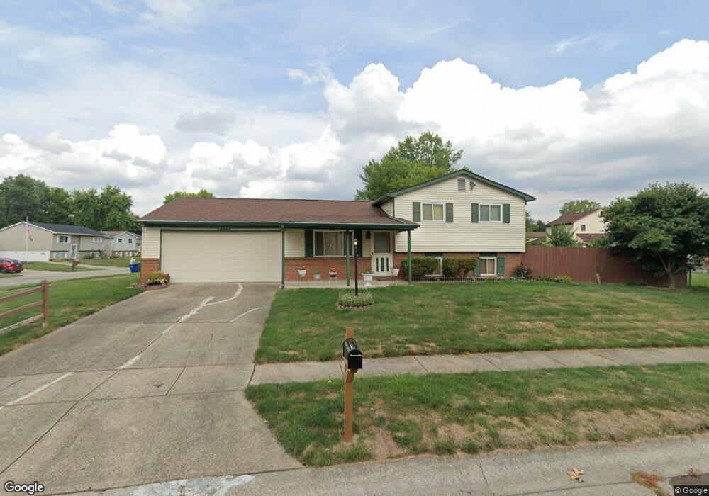
2974 Thornell Way Columbus, OH 43232
Walnut Heights NeighborhoodEstimated Value: $191,064 - $239,000
3
Beds
2
Baths
930
Sq Ft
$231/Sq Ft
Est. Value
About This Home
This home is located at 2974 Thornell Way, Columbus, OH 43232 and is currently estimated at $214,766, approximately $230 per square foot. 2974 Thornell Way is a home located in Franklin County with nearby schools including Liberty Elementary School, Yorktown Middle School, and Independence High School.
Ownership History
Date
Name
Owned For
Owner Type
Purchase Details
Closed on
Jun 14, 1994
Sold by
Holis W Ray
Bought by
Jeanette Spencer
Current Estimated Value
Home Financials for this Owner
Home Financials are based on the most recent Mortgage that was taken out on this home.
Original Mortgage
$75,200
Interest Rate
8.45%
Mortgage Type
New Conventional
Purchase Details
Closed on
Jun 11, 1992
Purchase Details
Closed on
Oct 1, 1986
Create a Home Valuation Report for This Property
The Home Valuation Report is an in-depth analysis detailing your home's value as well as a comparison with similar homes in the area
Home Values in the Area
Average Home Value in this Area
Purchase History
| Date | Buyer | Sale Price | Title Company |
|---|---|---|---|
| Jeanette Spencer | $79,200 | -- | |
| -- | $70,900 | -- | |
| -- | $58,000 | -- |
Source: Public Records
Mortgage History
| Date | Status | Borrower | Loan Amount |
|---|---|---|---|
| Closed | Jeanette Spencer | $75,200 |
Source: Public Records
Tax History Compared to Growth
Tax History
| Year | Tax Paid | Tax Assessment Tax Assessment Total Assessment is a certain percentage of the fair market value that is determined by local assessors to be the total taxable value of land and additions on the property. | Land | Improvement |
|---|---|---|---|---|
| 2024 | $2,507 | $65,670 | $16,980 | $48,690 |
| 2023 | $2,503 | $65,660 | $16,975 | $48,685 |
| 2022 | $1,536 | $38,360 | $5,250 | $33,110 |
| 2021 | $1,538 | $38,360 | $5,250 | $33,110 |
| 2020 | $1,519 | $37,940 | $5,250 | $32,690 |
| 2019 | $1,415 | $32,070 | $4,380 | $27,690 |
| 2018 | $706 | $32,070 | $4,380 | $27,690 |
| 2017 | $1,414 | $32,070 | $4,380 | $27,690 |
| 2016 | $1,229 | $27,300 | $4,480 | $22,820 |
| 2015 | $558 | $27,300 | $4,480 | $22,820 |
| 2014 | $1,118 | $27,300 | $4,480 | $22,820 |
| 2013 | $641 | $30,310 | $4,970 | $25,340 |
Source: Public Records
Map
Nearby Homes
- 5377 Bleaker Ave
- 5401 Spire Ln
- 5373 Spire Ln
- 5278 Glenbriar Ct
- 3148 Aldgate St
- 2991 Blue Moon Dr
- 3198 Gallant Dr
- 2998 Osgood Rd E
- 2730 Raphael Dr
- 2744 Barrows Rd
- 2736 Barrows Rd
- 5137 Holbrook Dr
- 2705 Denmark Rd
- 2651 Brownfield Rd
- 5882 Abernathy Ln Unit 5882F
- 3289 Kady Ln
- 3057 Lamptonridge Dr
- 5936 Abernathy Ln
- 5938 Abernathy Ln
- 5944 Abernathy Ln
- 5363 Bleaker Ave
- 2950 Bleaker Ave
- 5371 Bleaker Ave
- 5330 Chaumonte Ave
- 5356 Chaumonte Ave
- 2975 Thornell Way
- 2967 Thornell Way
- 5362 Chaumonte Ave
- 5362 Bleaker Ave
- 5332 Chaumonte Ave
- 5370 Bleaker Ave
- 2950 Thornell Way
- 2329 Chaumonte Ave
- 5376 Bleaker Ave
- 5368 Chaumonte Ave
- 5383 Bleaker Ave
- 2955 Thornell Way
- 5380 Bleaker Ave
- 5320 Chaumonte Ave
- 5389 Bleaker Ave