30 Loomis Rd Plainfield, NH 03781
Estimated Value: $586,000 - $741,000
3
Beds
2
Baths
3,201
Sq Ft
$203/Sq Ft
Est. Value
About This Home
This home is located at 30 Loomis Rd, Plainfield, NH 03781 and is currently estimated at $648,348, approximately $202 per square foot. 30 Loomis Rd is a home located in Sullivan County with nearby schools including Plainfield Elementary School and Lebanon High School.
Ownership History
Date
Name
Owned For
Owner Type
Purchase Details
Closed on
Aug 11, 1999
Sold by
Calderone Warren J and Calderone Elaine B
Bought by
Rogers Allen and Rogers Karen T
Current Estimated Value
Home Financials for this Owner
Home Financials are based on the most recent Mortgage that was taken out on this home.
Original Mortgage
$70,050
Outstanding Balance
$20,130
Interest Rate
7.65%
Estimated Equity
$628,218
Create a Home Valuation Report for This Property
The Home Valuation Report is an in-depth analysis detailing your home's value as well as a comparison with similar homes in the area
Home Values in the Area
Average Home Value in this Area
Purchase History
| Date | Buyer | Sale Price | Title Company |
|---|---|---|---|
| Rogers Allen | $167,500 | -- |
Source: Public Records
Mortgage History
| Date | Status | Borrower | Loan Amount |
|---|---|---|---|
| Open | Rogers Allen | $70,050 |
Source: Public Records
Tax History
| Year | Tax Paid | Tax Assessment Tax Assessment Total Assessment is a certain percentage of the fair market value that is determined by local assessors to be the total taxable value of land and additions on the property. | Land | Improvement |
|---|---|---|---|---|
| 2023 | $8,338 | $529,373 | $96,273 | $433,100 |
| 2022 | $7,853 | $315,364 | $42,564 | $272,800 |
| 2021 | $8,357 | $314,746 | $42,646 | $272,100 |
| 2020 | $7,996 | $314,818 | $42,718 | $272,100 |
| 2019 | $190 | $314,812 | $42,712 | $272,100 |
| 2018 | $4,785 | $314,789 | $42,689 | $272,100 |
| 2017 | $175 | $256,613 | $39,013 | $217,600 |
| 2016 | $164 | $251,827 | $38,927 | $212,900 |
| 2015 | $6,367 | $233,647 | $38,947 | $194,700 |
| 2014 | $6,425 | $233,654 | $38,954 | $194,700 |
| 2013 | $6,422 | $233,535 | $50,835 | $182,700 |
Source: Public Records
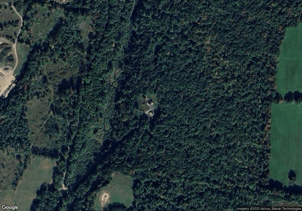
Map
Nearby Homes
- 00 Willow Brook Rd Unit 5
- 94 Porter Rd
- 41 Foliage View Rd
- 0 Hetzel Rd Unit 100
- 22 King Dr
- 1041 Stage Rd
- 0 3.2 Bean Rd
- 48 Nottingham Cir
- 0 Camp Rd Unit 7
- 846 Route 12a
- 0 Meriden Rd Unit 5065034
- 15 Old Pine Tree Cemetery Rd
- 49 Clay Hill Rd
- 22 Dulac St
- 15 Churchill Way
- 204 Mechanic St Unit 12
- 9 Myra Ave
- 192 Mascoma St
- 4 Black Bear Ct
- 3 Tenley Dr
- 462 Willow Brook Rd
- 105 Loomis Rd
- 474 Willow Brook Rd
- 474 Willow Brook Rd Unit 2
- 0 Willow Brook Rd
- 00 Willow Brook Rd
- 00` Willow Brook Rd
- 520 Willow Brook Rd
- 141 Loomis Rd
- 670 Willow Brook Rd
- 438 Willow Brook Rd
- 456 Willow Brook Rd
- 672 Willow Brook Rd
- 123 Jenney Rd
- 421 Willow Brook Rd
- 118 Jenney Rd
- 674 Willow Brook Rd
- 720 Willow Brook Rd
- 700 Willow Brook Rd
- 412 Willow Brook Rd
Your Personal Tour Guide
Ask me questions while you tour the home.