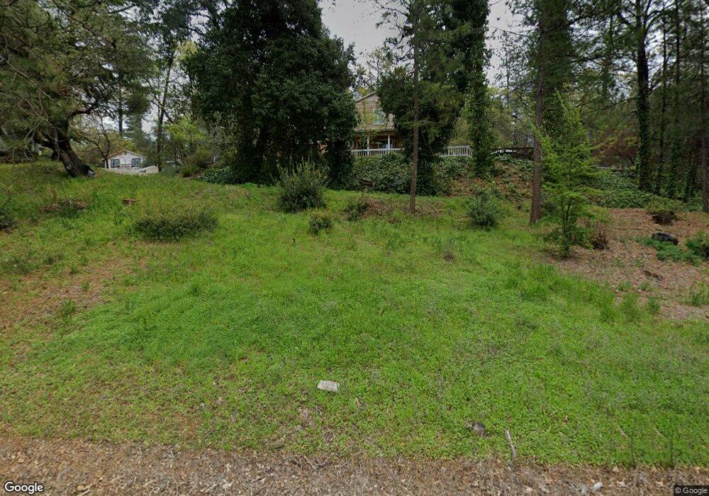
300 Haines Rd Auburn, CA 95602
Estimated Value: $613,652 - $934,000
4
Beds
3
Baths
2,472
Sq Ft
$301/Sq Ft
Est. Value
About This Home
This home is located at 300 Haines Rd, Auburn, CA 95602 and is currently estimated at $744,163, approximately $301 per square foot. 300 Haines Rd is a home located in Placer County with nearby schools including Placer High School, Bowman Charter School, and Alta Vista Community Charter.
Ownership History
Date
Name
Owned For
Owner Type
Purchase Details
Closed on
May 28, 2025
Sold by
Green Jerry A and Green Karen S
Bought by
Green Family Revocable Living Trust and Green
Current Estimated Value
Purchase Details
Closed on
Jul 24, 1999
Sold by
Ellen Berumen and Ellen Ariasberumen
Bought by
Green Jerry A and Green Karen S
Home Financials for this Owner
Home Financials are based on the most recent Mortgage that was taken out on this home.
Original Mortgage
$134,000
Interest Rate
7.64%
Mortgage Type
Purchase Money Mortgage
Create a Home Valuation Report for This Property
The Home Valuation Report is an in-depth analysis detailing your home's value as well as a comparison with similar homes in the area
Home Values in the Area
Average Home Value in this Area
Purchase History
| Date | Buyer | Sale Price | Title Company |
|---|---|---|---|
| Green Family Revocable Living Trust | -- | None Listed On Document | |
| Green Jerry A | $215,000 | Placer Title Company |
Source: Public Records
Mortgage History
| Date | Status | Borrower | Loan Amount |
|---|---|---|---|
| Previous Owner | Green Jerry A | $134,000 |
Source: Public Records
Tax History Compared to Growth
Tax History
| Year | Tax Paid | Tax Assessment Tax Assessment Total Assessment is a certain percentage of the fair market value that is determined by local assessors to be the total taxable value of land and additions on the property. | Land | Improvement |
|---|---|---|---|---|
| 2025 | $4,185 | $414,072 | $122,947 | $291,125 |
| 2023 | $4,185 | $389,345 | $118,174 | $271,171 |
| 2022 | $4,120 | $381,711 | $115,857 | $265,854 |
| 2021 | $3,973 | $374,228 | $113,586 | $260,642 |
| 2020 | $3,749 | $351,872 | $106,800 | $245,072 |
| 2019 | $3,757 | $352,236 | $106,900 | $245,336 |
| 2018 | $3,444 | $334,649 | $101,600 | $233,049 |
| 2017 | $3,311 | $321,109 | $97,500 | $223,609 |
| 2016 | $2,997 | $290,860 | $88,300 | $202,560 |
| 2015 | $2,858 | $280,000 | $85,000 | $195,000 |
| 2014 | $2,708 | $264,000 | $80,100 | $183,900 |
Source: Public Records
Map
Nearby Homes
- 0 Old Airport Rd Unit 225114571
- 0 Richards Ln Unit 225114570
- 1001 Old Airport Rd
- 1475 Shadow Mountain Ct
- 12446 Shadow Brook Ct
- 5250 Morningside Ave
- 1111 Scenic Pine Dr
- 1365 Shadow Rock Dr
- 2050 Black Oak Rd
- 371 Channel Hill Rd
- 209 Channel Hill Rd
- 12925 Mott Ct
- 15395 Lake Arthur Rd
- 1447 Love Way
- 190 Daniels Dr
- 120 Skipper Cove
- 15391 Pear Valley Ln
- 655 Shockley Rd
- 833 Arrowhead Ln
- 193 E Hillcrest Dr