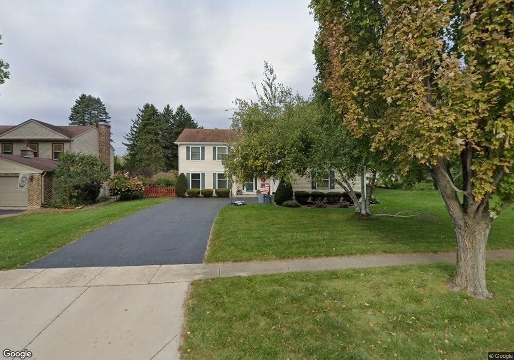
301 Cornell Ln Algonquin, IL 60102
Estimated Value: $411,621 - $528,000
Studio
1
Bath
2,688
Sq Ft
$169/Sq Ft
Est. Value
About This Home
This home is located at 301 Cornell Ln, Algonquin, IL 60102 and is currently estimated at $455,405, approximately $169 per square foot. 301 Cornell Ln is a home located in McHenry County with nearby schools including Eastview Elementary School, Algonquin Middle School, and Dundee-Crown High School.
Ownership History
Date
Name
Owned For
Owner Type
Purchase Details
Closed on
Sep 27, 2002
Sold by
Manninen Sherri L and Manninen Mark D
Bought by
Mcginnis Jason W and Mcginnis Marlene L
Current Estimated Value
Home Financials for this Owner
Home Financials are based on the most recent Mortgage that was taken out on this home.
Original Mortgage
$210,000
Outstanding Balance
$89,070
Interest Rate
6.32%
Estimated Equity
$366,335
Purchase Details
Closed on
Feb 23, 2000
Sold by
Manninen Mark D and Manninen Sherri L
Bought by
Manninen Mark D and Manninen Sherri L
Purchase Details
Closed on
May 6, 1996
Sold by
Seidel Robert J and Seidel Susan E
Bought by
Manninen Mark D and Manninen Sherry L
Home Financials for this Owner
Home Financials are based on the most recent Mortgage that was taken out on this home.
Original Mortgage
$148,000
Interest Rate
8.1%
Create a Home Valuation Report for This Property
The Home Valuation Report is an in-depth analysis detailing your home's value as well as a comparison with similar homes in the area
Purchase History
| Date | Buyer | Sale Price | Title Company |
|---|---|---|---|
| Mcginnis Jason W | $262,500 | -- | |
| Mcginnis Jason W | -- | -- | |
| Manninen Mark D | -- | -- | |
| Manninen Mark D | $202,500 | -- |
Source: Public Records
Mortgage History
| Date | Status | Borrower | Loan Amount |
|---|---|---|---|
| Open | Mcginnis Jason W | $210,000 | |
| Previous Owner | Manninen Mark D | $148,000 |
Source: Public Records
Tax History
| Year | Tax Paid | Tax Assessment Tax Assessment Total Assessment is a certain percentage of the fair market value that is determined by local assessors to be the total taxable value of land and additions on the property. | Land | Improvement |
|---|---|---|---|---|
| 2024 | $9,504 | $135,728 | $31,422 | $104,306 |
| 2023 | $9,025 | $121,392 | $28,103 | $93,289 |
| 2022 | $7,407 | $97,406 | $22,842 | $74,564 |
| 2021 | $7,104 | $90,745 | $21,280 | $69,465 |
| 2020 | $6,915 | $83,010 | $20,527 | $62,483 |
| 2019 | $6,745 | $79,451 | $19,647 | $59,804 |
| 2018 | $7,640 | $86,151 | $17,986 | $68,165 |
| 2017 | $7,484 | $81,160 | $16,944 | $64,216 |
| 2016 | $7,374 | $76,121 | $15,892 | $60,229 |
| 2013 | -- | $77,947 | $14,825 | $63,122 |
Source: Public Records
Map
Nearby Homes
- 600 E Algonquin Rd
- 953 Old Oak Cir
- 1188 E Algonquin Rd
- 0 River Dr N Unit MRD12473279
- 719 Webster St
- 1031 Timberwood Ln
- 407 La Fox River Dr
- 720 Ash St
- 21 Division St
- 1625 Powder Horn Dr
- Lot 4 b Ryan Pkwy
- 1770 E Algonquin Rd
- 1730 Tanglewood Dr
- 1439 Lowe Dr
- 1302 Cary Rd
- 1321 Big Sur Pkwy
- 1782 Cumberland Pkwy
- 1906 Ozark Pkwy
- 2 Cumberland Pkwy
- 1923 Ozark Pkwy
- 311 Cornell Ln
- 310 Cornell Ln
- 321 Cornell Ln
- 233 Highland Ave
- 314 Olin Ct
- 320 Cornell Ln
- 331 Cornell Ln
- 300 Highland Ave
- 304 Highland Ave
- 229 Highland Ave
- 240 Highland Ave
- 330 Cornell Ln
- 324 Olin Ct
- 335 Olin Ct
- 341 Cornell Ln
- 334 Olin Ct
- 302 Highland Ave
- 351 Cornell Ln
- 230 Highland Ave
- 340 Cornell Ln
Your Personal Tour Guide
Ask me questions while you tour the home.