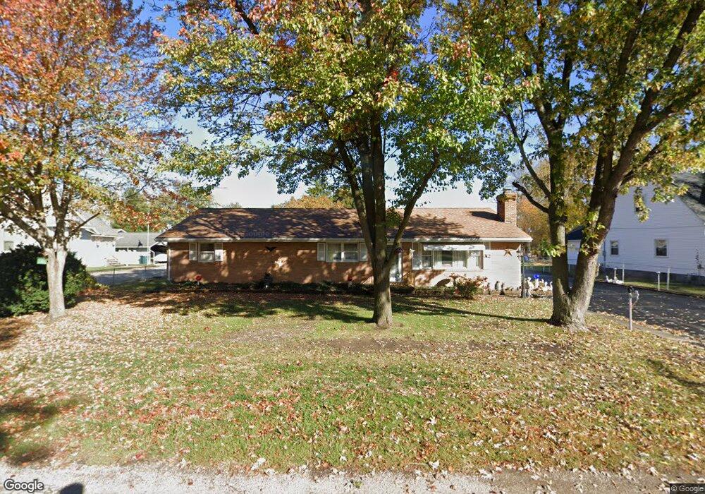
312 E Lockhart St Niantic, IL 62551
Estimated Value: $143,000 - $163,000
--
Bed
--
Bath
1,920
Sq Ft
$82/Sq Ft
Est. Value
About This Home
This home is located at 312 E Lockhart St, Niantic, IL 62551 and is currently estimated at $157,063, approximately $81 per square foot. 312 E Lockhart St is a home located in Macon County.
Ownership History
Date
Name
Owned For
Owner Type
Purchase Details
Closed on
Jun 28, 2024
Sold by
Stanley E Pettyjohn E and Stanley Janet E
Bought by
Mckinney Jeffrey Howard and Mckinney Ellen M
Current Estimated Value
Home Financials for this Owner
Home Financials are based on the most recent Mortgage that was taken out on this home.
Original Mortgage
$136,000
Interest Rate
8.75%
Mortgage Type
Construction
Purchase Details
Closed on
May 10, 2006
Sold by
Pettyjohn Stanley E and Pettyjohn Janet E
Bought by
Pettyjohn Stanley E and Pettyjohn Janet E
Create a Home Valuation Report for This Property
The Home Valuation Report is an in-depth analysis detailing your home's value as well as a comparison with similar homes in the area
Purchase History
| Date | Buyer | Sale Price | Title Company |
|---|---|---|---|
| Mckinney Jeffrey Howard | $100,000 | None Listed On Document | |
| Pettyjohn Stanley E | -- | None Available |
Source: Public Records
Mortgage History
| Date | Status | Borrower | Loan Amount |
|---|---|---|---|
| Closed | Mckinney Jeffrey Howard | $136,000 |
Source: Public Records
Tax History
| Year | Tax Paid | Tax Assessment Tax Assessment Total Assessment is a certain percentage of the fair market value that is determined by local assessors to be the total taxable value of land and additions on the property. | Land | Improvement |
|---|---|---|---|---|
| 2024 | $4,315 | $61,958 | $4,434 | $57,524 |
| 2023 | $3,274 | $50,248 | $4,287 | $45,961 |
| 2022 | $3,069 | $46,467 | $3,964 | $42,503 |
| 2021 | $1,619 | $44,138 | $3,766 | $40,372 |
| 2020 | $1,646 | $45,821 | $3,549 | $42,272 |
| 2019 | $1,646 | $45,821 | $3,549 | $42,272 |
| 2018 | $1,664 | $44,734 | $3,465 | $41,269 |
| 2017 | $1,685 | $44,923 | $3,480 | $41,443 |
| 2016 | $1,695 | $44,869 | $3,476 | $41,393 |
| 2015 | $1,678 | $43,562 | $3,375 | $40,187 |
| 2014 | $1,629 | $43,131 | $3,342 | $39,789 |
| 2013 | $1,820 | $43,131 | $3,342 | $39,789 |
Source: Public Records
Map
Nearby Homes
- 295 N Pritchett St
- 223 W Montgomery St
- 0 Bill Wall Dr
- 108 N Folly St
- 1359 S Bridge Rd
- 13505 W Long Point Rd
- 420 6th St
- 414 5th St
- 8090 W Wood St
- 275 N Camp St
- 113 Prairie Run
- 5595 W Main St
- 3335 Nevada Rd
- 6 W Westway Dr
- 212 S Anchor Rd
- 210 N Kiick St
- 1955 E 2700 North Rd
- 1720 N Sunnyside Rd
- 1650 N Sunnyside Rd
- 1068 Cornell Dr
- 340 E Lockhart St
- 302 E Lockhart St
- 364 E Lockhart St
- 399 Northeast St
- 280 E Lockhart St
- 399 N East St
- 264 E Lockhart St
- 391 E Lockhart St
- 279 E Lockhart St
- 357 East St
- 355 Northeast St
- 355 N East St
- 408 E Lockhart St
- 248 E Lockhart St
- 259 E Lockhart St
- 409 E Lockhart St
- 441 E Lockhart St
- 312 E Montgomery St
- 464 E Lockhart St
- 344 E Montgomery St
Your Personal Tour Guide
Ask me questions while you tour the home.