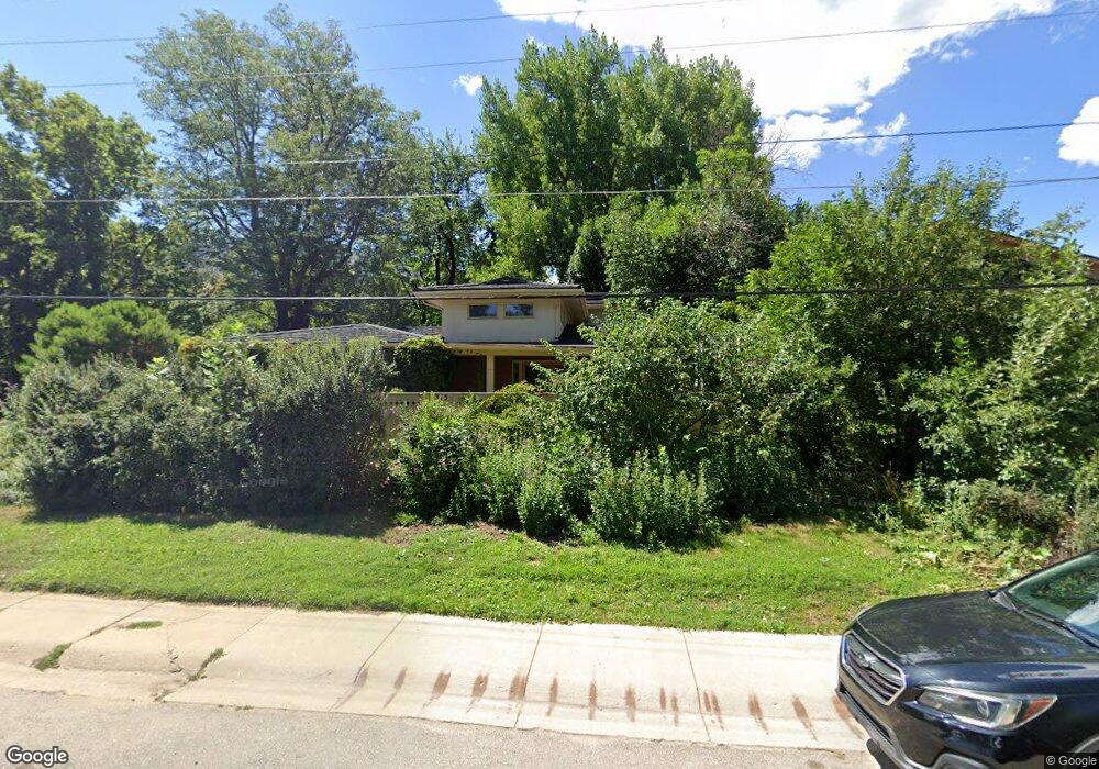
315 20th St Boulder, CO 80302
University Hill NeighborhoodEstimated Value: $1,898,000 - $2,355,000
4
Beds
3
Baths
3,178
Sq Ft
$691/Sq Ft
Est. Value
About This Home
This home is located at 315 20th St, Boulder, CO 80302 and is currently estimated at $2,194,583, approximately $690 per square foot. 315 20th St is a home located in Boulder County with nearby schools including Creekside Elementary School, Manhattan Middle School of the Arts & Academics, and Boulder High School.
Ownership History
Date
Name
Owned For
Owner Type
Purchase Details
Closed on
Oct 29, 2024
Sold by
Thomas Ann Brennan
Bought by
Brennan Thomas Living Trust
Current Estimated Value
Purchase Details
Closed on
Mar 25, 2002
Sold by
Thomas Lawrence M
Bought by
Thomas Ann Brennan
Purchase Details
Closed on
Mar 3, 1992
Bought by
Brennan Thomas Ann
Purchase Details
Closed on
Mar 18, 1977
Bought by
Brennan Thomas Ann
Create a Home Valuation Report for This Property
The Home Valuation Report is an in-depth analysis detailing your home's value as well as a comparison with similar homes in the area
Home Values in the Area
Average Home Value in this Area
Purchase History
| Date | Buyer | Sale Price | Title Company |
|---|---|---|---|
| Brennan Thomas Living Trust | -- | None Listed On Document | |
| Brennan Thomas Living Trust | -- | None Listed On Document | |
| Thomas Ann Brennan | -- | -- | |
| Brennan Thomas Ann | $225,000 | -- | |
| Brennan Thomas Ann | -- | -- |
Source: Public Records
Tax History
| Year | Tax Paid | Tax Assessment Tax Assessment Total Assessment is a certain percentage of the fair market value that is determined by local assessors to be the total taxable value of land and additions on the property. | Land | Improvement |
|---|---|---|---|---|
| 2025 | $11,422 | $138,825 | $83,356 | $55,469 |
| 2024 | $11,422 | $138,825 | $83,356 | $55,469 |
| 2023 | $11,224 | $136,667 | $83,636 | $56,716 |
| 2022 | $10,255 | $117,379 | $68,861 | $48,518 |
| 2021 | $9,779 | $120,756 | $70,842 | $49,914 |
| 2020 | $9,084 | $111,505 | $62,277 | $49,228 |
| 2019 | $8,945 | $111,505 | $62,277 | $49,228 |
| 2018 | $8,254 | $102,406 | $55,800 | $46,606 |
| 2017 | $7,996 | $113,215 | $61,690 | $51,525 |
| 2016 | $6,563 | $83,779 | $47,680 | $36,099 |
| 2015 | $6,215 | $75,819 | $35,024 | $40,795 |
| 2014 | $5,706 | $75,819 | $35,024 | $40,795 |
Source: Public Records
Map
Nearby Homes
- 370 20th St
- 245 Fair Place
- 2030 Columbine Ave
- 2250 Bluebell Ave
- 1550 Bluebell Ave
- 2221 Columbine Ave
- 350 15th St
- 626 17th St
- 2141 Baseline Rd Unit 18
- 1498 King Ave
- 1333 Mariposa Ave
- 255 Bellevue Dr
- 850 20th St Unit 502
- 715 14th St
- 815 16th St
- 789 15th St
- 333 Bellevue Dr
- 650 12th St
- 935 Broadway St Unit 104
- 1965 Kohler Dr
Your Personal Tour Guide
Ask me questions while you tour the home.